Before we begin With this account we want to share the emotions we felt during the trip, offering some useful pointers to anyone planning something similar. The first piece of advice we give to anyone who decides to set off is, however, to take only inspiration from the accounts published online. The risk otherwise is to wipe out personal initiative, building a trip that reflects other people's personalities, not your own. The itinerary we followed was definitely demanding, and 15 days were a little too few, although, I must say, enough to see everything we had set out to see. Of course, some places we would have liked to visit more calmly. We covered 3,300 miles, equal to about 5,300 kilometres, driving in turns. Most of the distances were along roads in perfect condition and with non-existent traffic (big cities excluded).
The only truly gruelling leg was the one from Pahrump (Death Valley) to Three Rivers (Sequoia National Park): 480 miles through mountain passes, valleys, deserts. It's impossible to take less than 8-9 hours. We spent about 6,200 euros in total, of which 2,000 for the flight and 650 euros for car hire. We almost always stayed at Best Westerns, at an average cost, including taxes, of about 90 dollars a night. It's not the cheapest option (you can even spend less than 50 dollars), but the rooms are a certainty and cleanliness is guaranteed. We used Hotelplan's Fly & Drive for booking the flights, the car and 4 nights (the first two in Los Angeles and the last two in San Francisco, the ones we definitely wouldn't have changed). All the other overnight stays we booked from Italy via the Internet. As it was August we preferred to fix them all (except one).
With Best Westerns you can book without paying a deposit and cancel up to 24 hours in advance with no penalty. So if we had decided to change the itinerary, an Internet connection or a phone would have been enough. It seemed to us a wise choice, especially because it saved us each day the time needed to find accommodation, allowing us to arrive at our destination even in the evening without the nightmare of finding the words No Vacancy everywhere. In many places the booking then turned out to be useless, because we would have found a room anyway; in others, such as Kayenta (Monument Valley), Page (Lake Powell), Panguitch (Bryce Canyon) and Moab (Arches), by 6 in the evening the motel rooms were practically all gone. Not to forget, moreover, that Internet rates are always the cheapest. For the rest, petrol and food cost decidedly less than in Italy, especially for us who are from Milan.
And so, here is what I (Federico Chierichetti) and my girlfriend (Dany) experienced in the first 15 days of August 2004.
Day 12 Aug 2004
From Milan to Frankfurt to Los Angeles
The Lufthansa flights are on time, in fact we arrive in Los Angeles a little early, at one in the afternoon. The immigration formalities are quick. The only unexpected thing is that once collected, our bags are declared suspect. In short, I have to undergo a thorough search of my trolley: they even open my jar of aftershave cream. Obviously they find nothing suspect and after 20 minutes I'm free to enter the States. I haven't understood the reason why they considered my bag suspicious; I think because in Italy I had wrapped it in cling film to stop it opening or, more probably, because the random checks rule had fallen to us!!! Quickly forgotten the mishap, we take the Hertz bus that takes us in an instant to the office to collect our car.
Natascha, the Hertz employee, is very kind and when we tell her we're going to do the tour of the national parks she tells us she has a car available in a category higher than B (compact) and assigns it to us without overcharge. These Americans are so kind! So she hands us a Subaru Outback 4x4, a sort of raised station wagon with tyres suitable even for dirt roads!!! Electrically adjustable seats, cruise control, an enormous boot, even though we only have one mini trolley each, in short, a great thing. Finding your way around the streets of Los Angeles is less complicated than you'd expect, even though the roads intersect at right angles in an endless grid in which the cars remain trapped.
But the signage is impeccable and the instructions Natascha gave us let us reach the hotel in less than an hour, so much so that I'm a bit sorry because I don't get to experience getting lost at least once! We're in the heart of Hollywood, in front of the Chinese Theatre, the most famous cinema in the world! We take possession of the room, leave the car with the valet (for 2 nights we'll pay $32 for parking + taxes!!) and although we're worn out from the journey we begin the tour of Hollywood Boulevard: the Walk of Fame, the Chinese Theatre, the Kodak Theatre, today the permanent home of the Academy Awards (the Oscars). We take one of those double-decker buses that for $27 takes us on a couple of hours' tour of the most interesting and famous places in Hollywood, including the Paramount studios and the CBS headquarters.
We also pass by the motel where the final scene of Pretty Woman was filmed, the one with the fire escape. Don't go there to sleep, though. It's really frequented by a bad crowd. From the top of the bus I get my first confirmation of the Americans' lifestyle: for them the car is their first home. Inside the cars there's a world made of plastic cups, bags, notepads, magazines, neatly scattered over every surface. We have dinner at 6.30 pm in a very sad fast-food restaurant specialising in Mongolian food (yes, in Hollywood there is one) which basically means eating a chicken salad and a Coca-Cola. We're truly exhausted and the icy wind we caught on the bus has finished us off. At 8.30 pm we're in the room and in a few minutes we fall asleep. We also take melatonin, which frankly I don't know if it helps, but it can't hurt.
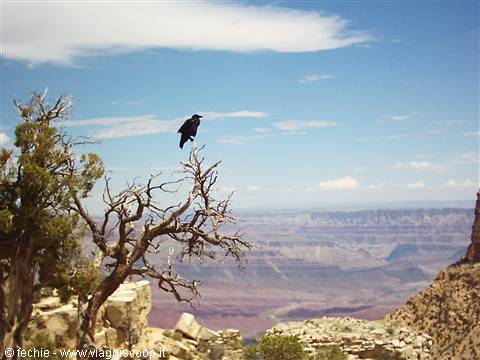
Grand Canyon
Day 23 Aug 2004
Los Angeles - 95 miles traveled
At 7.00 am we're already on board our car. The first stop is at the legendary Denny's where we intend to have an American-style breakfast, one of those that fills you up until evening. Dany is sceptical and although she declares herself willing to try something really heavy, she hopes to find cereals and fruit, poor deluded thing!! And indeed, since we've entered the temple of greasy, fatty America that serves breakfast, for $10 I eat an All American Slam of just under 1000 calories (well specified) made up of 3 scrambled eggs, bacon, sausage, strips of roasted potatoes, pancakes, butter and jam all washed down with an "excellent" half litre of American coffee. Dany gives it a go too, but she gets a reduced version and even manages to get herself a bowl of fresh fruit consisting of about ten agonising red grapes. We leave the tip on the table and pay the bill at the till. I'm happy.
At this point we're ready to start touring. Following the map (essential, given the size of the city) we reach Beverly Hills. We take a long tour of the residential neighbourhood above Sunset Boulevard, among the mansions of the rich, all neat, tidy and clean. Around you only see Asians and African Americans mowing the lawn, pruning the hedges, painting the fences. As we drive, we also enter Bel Air, another famous neighbourhood where the famous live. We reach Rodeo Drive where we park the car and put enough coins in the meter for an hour's stroll. It's still early, it's 10.00 am and the shops are opening. Rodeo Drive is beautiful, more for its fame and the feeling of being on the set of some film than for what's there. In the end it's just a well-kept street full of Italian shops.
We have a look in the toilets of the Saks Fifth Avenue department store, grab a big smoothie from Jambo Juice and set off for our next stop: Santa Monica and Venice Beach. The day is cool and sunny. The Pacific Ocean appears all of a sudden and with it the immense golden beach, home of the Baywatchers. Dany looks around but doesn't see any: "where are these hunks?". The lifeguard huts with the red suppository-shaped rescue buoy are there, the yellow cars too, but the hunks aren't, or rather, they're perfectly ordinary guys, bored and shut inside their grey huts. So I'll be the hunk: I take off my T-shirt and strike a pose next to the red suppository. And I get myself immortalised. We take a long walk along the water's edge up to the pier where there's the Ferris wheel, the rollercoaster from years gone by, the video games and lots and lots of people.
We head back to the car along the strip of asphalt that runs like a carpet over the sand of Santa Monica and on which runners, skateboarders, rollerbladers and bikers pass by. We're in America! We continue towards Venice Beach, the home of the beat generation of times gone by. Even today you come across curious characters, tattooed, full of piercings, muscular and hairless. The atmosphere is cheerful and the promenade takes place between the beach, a string of shops selling truly everything and the famous open-air gyms. I must say it's pleasant to watch, to observe the people who here love to show off. It's already late afternoon when we reach Universal Studios. The aim isn't to visit them (I'd already been a few years ago as well as having visited the ones in Orlando with Dany), but we still want to tour the area all around the park to buy a few gadgets.
First of all the little Hard Rock Café T-shirt. Dany is happy with the purchase, I buy myself a Billabong T-shirt (made in Australia!). In any case I recommend visiting Universal Studios, which we skipped this time, because in half a day at least, it lets you see the real sets of many films and TV series we've all loved (ticket: $50 each). And then they're the originals. All the other Universal Studios on American soil (Orlando) and in Europe (at Disneyland Paris) are reconstructions. We struggle to get out, taking a completely jammed freeway (it's rush hour). We've got it into our heads to get right up under The Hollywood Sign, the famous sign that from the city you can only see in the distance.
After a stop at a Seven Eleven market to stock up on water and comfort supplies in view of the start of our on-the-road trip tomorrow, we set off in search of a road that gets close to the legendary sign. And we find it! Everyone says it's very hard to get close because there's no access road open to the public, but there is a way and it lets you see a neighbourhood clinging to the hills above Hollywood that has a European feel (it reminded me of Lisbon). You just take Hollywood Blvd heading east. A few blocks after the Chinese Theatre you turn left onto Argyle Blvd and after the freeway bridge the road starts to climb. There are a lot of intersections, but following your instinct you arrive right under the sign even though a proper access doesn't exist. Great photos at sunset.
We have dinner at a Pollo Loco that's really not recommendable, in the area around the hotel, and at 9.30 pm we go to bed.
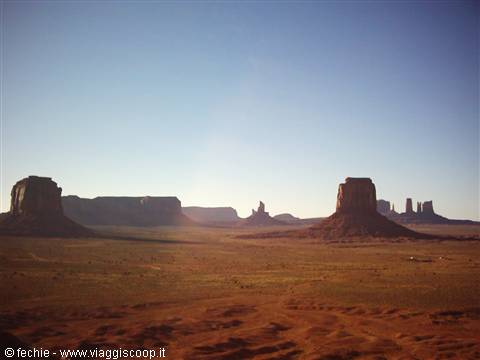
Monument Valley
Day 34 Aug 2004
From Los Angeles to Las Vegas – 277 miles traveled
We repeat breakfast at Denny's (we're regulars now) and at 9.00 am we're ready to tackle the 270 miles separating us from Las Vegas. I start driving, which is why we immediately find the road that from one freeway to another leads us onto Interstate 15 North, towards Las Vegas. The first half of the journey offers no noteworthy scenery, but the happiness we feel at being truly on the road is more than enough to keep our spirits sky-high. We stop after 130 miles at Barstow for a quick pee and to buy a bag of ice, the ice to keep the drinks cool. Dany takes over for the remaining part of the journey: for the first time at the wheel of our Subaru I must admit she does well, even though she has a tendency (which she won't abandon for the whole holiday) to stay a bit too much in the middle of the road, as if the lane marking were the median splitting the car in two.
The cruise is set at 75 miles an hour. We proceed calmly and with no traffic while the thermometer now reads over 40° C. At 1.00 pm we arrive at our hotel, the Excalibur, which for those arriving from the south is one of the first hotels on the Strip, the main street of Las Vegas. The style is the fairy-tale one of King Arthur's castle. It's enormous and with its almost 4000 rooms it was one of the biggest 10 years ago when it was built. Today I think it's one of the smallest... We enter after abandoning the car in the car park. Who knows if we'll manage to remember where it is... the car park holds no fewer than 3000 cars. We diligently look for the check-in desk (impossible to reach unless you follow the signs that let you find your way among the hundreds of slot machines) and take our room.
For $66 we have something like 40 square metres of medieval-style room with an enormous bathroom and equipped with every comfort! Really not bad. Shortly we're ready to set off to discover Las Vegas. For the casinos we have a budget of $30 which we'll play here and there on the slot machines of each hotel. We visit the Luxor (the pyramid-shaped one), the Bellagio (the one that recalls Lake Como), the Venetian (the one shaped like Venice), the New York New York, which I'll let you imagine what it looks like, the Caesar's Palace, the Circus Circus, the Mirage, the Mandalay Bay, the MGM Grand and the Treasure Island. Each visit means taking an absurd blast of heat when you go out and a blast of polar cold when you go in.
Thank goodness Dany made me bring a sweater! As expected the best part of the hotels is the exterior, while inside the casinos, buffets and attractions are more or less all the same. This city is truly a delirium, there are 120 thousand rooms, hundreds of thousands of slot machines, games, cinemas, entertainment of every kind. In 10 years (I'd passed through here in '94) it has transformed, grown gigantic, turned monstrous! But it's really fun and also a bit disturbing to see the number of Americans who spend hours in front of the slots, in the vain hope of winning. I think even they are aware of it, but they keep playing so as not to think about their problems. Las Vegas is absolutely worth a visit even though one night is more than enough unless you're a fanatic of gambling, Imax cinemas or rollercoasters. I think it's the most American of American cities.
We do the Strip again in reverse after sunset to enjoy the orgy of lights that illuminates the sky as bright as day. We watch the show of the dancing fountains in front of the Bellagio to the rhythm of "Con te partirò" by Bocelli (nice and short) and late in the evening we return to the Excalibur where we have dinner in 10 minutes at McDonald's, lose a few more dollars on the slots and around 10.30 pm, we fall exhausted into the arms of Morpheus.
Monument Valley
Day 45 Aug 2004
From Las Vegas to Tusayan (Grand Canyon) – 322 miles traveled
Dany wakes me as usual at dawn (6.30 am). We have breakfast at the Round Table Buffet of the Excalibur, an all you can eat that for $10 each lets us eat an impressive amount of food. Before setting off in search of our car we throw away another dollar on the slots and... in one go we "win" a good $5. Which we of course immediately lose again. We load the car (we found it!) with our few things and head towards Interstate 93, towards the Grand Canyon. We immediately get petrol and this stop turns out to be extremely productive, in fact we notice that in the car of two old folks there's a very useful polystyrene container that holds ice and always-cold drinks. We ask about it and Dany discovers that it's on sale in the petrol station's mini-market for $3. We buy it on the spot.
It will become our indispensable companion for the rest of the trip, a source of always-cold drinks and comfort supplies (mostly fruit and snacks). We improve every day! A few dozen miles after Las Vegas we cross the Hoover Dam which besides being an extraordinary feat of engineering (it supplies water and electricity to millions of Americans) also marks the border between Nevada and Arizona. The day is splendid, it's not hot, it's early and so I decide, without being willing to hear a "no", that the visit to the dam has to be done (imagine Dany's happiness). For $10 each we attend a short slide presentation on the history of the dam and a quick guided tour of the base where the generators are, powered by the waters of Lake Mead which is nothing other than the artificial lake upstream of the dam formed by the waters of the Colorado River.
I really enjoyed the visit, but I'd only recommend it to those who are curious/passionate about these things. What's obligatory instead is at least the walk along the edge of the dam. We head towards our destination, but at Kingman we decide to leave the Interstate to travel a stretch of Route 66, as far as Seligman, where we rejoin the I93 to Williams. Apart from the satisfaction of having travelled a little piece of myth in total solitude, Route 66 offers no great highlights. A few villages here and there celebrating the myth of a road that has by now been supplanted by the freeways and interstates. Williams, on the other hand, which is 50 miles from the Grand Canyon, is worth a short stop to visit the little shops on the sides of the main street which has kept a bit of the flavour of the old West.
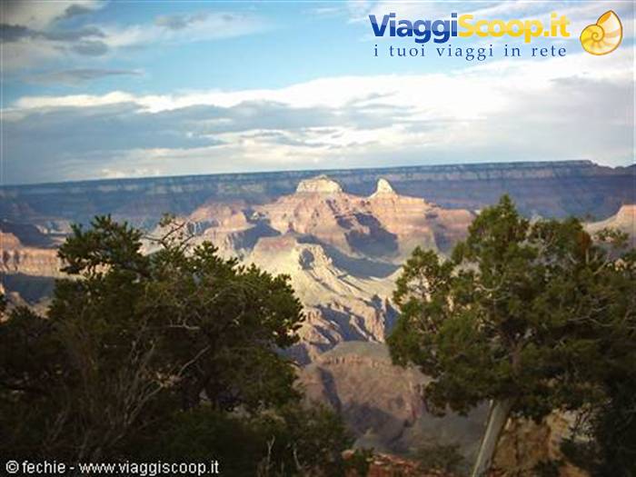
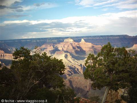
We arrive at Tusayan, at the gates of the Grand Canyon National Park, at 4.00 pm under a truly menacing sky lashed by lightning. We leave our suitcases at our Red Feather Rodeway Inn and at 5.30 pm we're in the park after buying the National Park Pass which for $50 will let us visit all the national parks we come across. We dedicate the afternoon to the West Rim. In summer the road that runs along the western edge of the Canyon can only be travelled with free shuttles that run continuously and connect in 7 stops the West Rim Interchange with Hermit Rest (the westernmost point). We decide to do some stops by shuttle and others on foot along the path that runs between the road and the rim of the Canyon. Useless to describe the view: immense, infinite. The storm has cleared the air and the remaining clouds let the Sun's rays through, illuminating the Canyon in patches.
We watch the sunset walking between Mohave Point and Hopi Point. Actually it would have been better to do the opposite, from Hopi to Mohave, because that way we'd have had the sunset right in front of us, but in the end you just had to stop and turn your head. Beautiful. Tiredness and a queue of customers that's too long prevent us from having dinner at the Yuppy Hee-Hoo, the most "in" steak house in Tusayan, and so we fall back, alas, (I want a T-Bone!) on a quicker Wendy's. It's 11.00 pm. Tomorrow the East Rim awaits us. Good night!
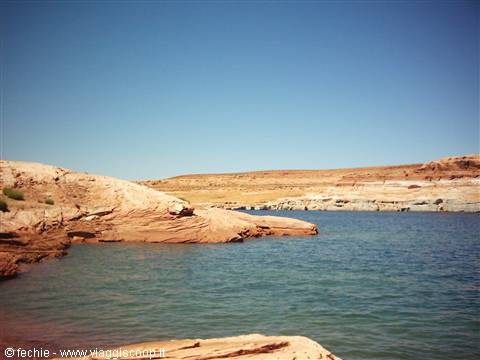
Lake Powell
Day 56 Aug 2004
From Tusayan to Page (Lake Powell) - 196 miles traveled
We wake up (or rather Dany wakes me) at 6.30 am. The motel's complimentary breakfast is disappointing, in fact I'd say non-existent: hot drinks, yoghurt and pastries. Definitely insufficient for what lies ahead, so we complete it with a deluxe breakfast at the McDonald's opposite. Eggs, bacon, toast and jam. Now that's what I'm talking about! We go back into the Grand Canyon National Park and take the road that runs along the East Rim. We find a small car park unknown to most just outside Yaki Point, one of the first View Points of the East Rim. In summer even access to the individual View Points of the East Rim is closed to private traffic, so you either leave the car in the small car parks along the East Rim Drive and take a walk, or you take the free shuttles that from the Visitors Center cover the whole East Rim with stops at all the view points. We opt for the first alternative.
So we arrive on foot at the start of the South Kaibab Trail that from Yaki Point leads down into the Canyon. We chose this one among the many trails because it lets you, in about an hour and a half (according to the guide, but we'd have taken less time), descend into the Canyon for about 300 metres to Cedar Ridge where the panorama is truly breathtaking. If you want, you can then continue the descent to the Colorado, but it's not advisable to do it in a day both for the distance and for the heat. The morning is splendid and at the moment it's not even that hot (the almost 2000 metres of altitude help). The path is steep and in some places uneven, but absolutely doable and the effort is rewarded by the feelings you get. Descending into the Canyon you realise the immensity of the place. Staying on the rim you can't fully perceive its real dimensions.
I envy those who have the time to spend a night camping inside the Canyon to reach the Colorado and come back up from the North Rim. Once we reach the bottom (at Cedar Ridge) we stop for half an hour to contemplate the landscape. There aren't many people, but we look for a secluded spot to enjoy the silence and the immensity of the landscape. Now it's our turn to go back up. The guide says that to climb back up you have to allow at least double the time taken to go down. Maybe it's because we're fit (swimming and running all year round), maybe it's because it's not hot, but in less than 50 minutes we're already up, that is, we take the same time as the descent. Given the speed we could have continued the descent from Cedar Ridge to Skeleton Point (an intermediate stage before the last stretch towards the Colorado), never mind.
All in all from Yaki Point to Cedar Ridge and back we covered about 3.5 miles in 2 hours. A short stop in the car park area to refresh ourselves and then off, towards the other View Points. We stop at all of them and get as far as Desert View, the last stop before leaving the park. It's here that it starts to pour with crazy thunder and lightning (the weather changes with impressive speed in these parts). At a certain point it even starts to hail. We abandon the Grand Canyon under the downpour heading for Page, Lake Powell, and this awful weather won't leave us for the rest of the day. Along the way the landscape is a continuous succession of gorges and canyons. We'd like to stop at every moment but we have to reach our destination. Arriving at Page in the late afternoon we take our places in our Best Western Arizona Inn. The room is spacious, clean and with a view of the lake...
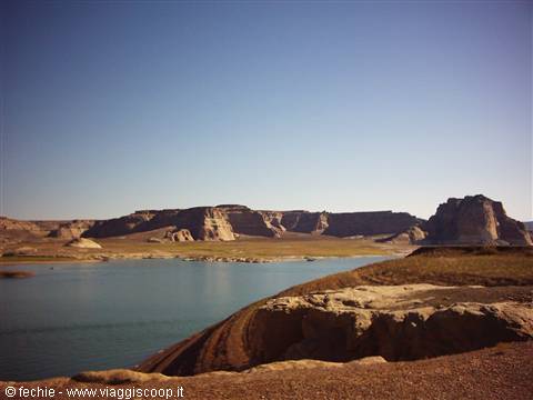
or rather of the Glenn Canyon dam and a sliver of lake, in fact the water level is at its lowest in recent years due to the drought and so the lake has sunk about fifty metres into the Glenn Canyon, hiding itself from our view! With today's rain you really wouldn't say there are drought problems here. Since the weather isn't helping, we take a long drive: the Glenn dam, Wahweap Marina (National Park Pass needed), Antelope Point where we'll return tomorrow to visit Antelope's Canyon which is closed when it rains, and the beaches of Lake Powell where tomorrow I really hope to have a nice swim.
The panorama must be truly surreal: "the water has invaded the Glenn Canyon for hundreds of kilometres, but it marries perfectly with the red rocks..." but that's what it says in our faithful Routard guide, because at the moment you can't see anything due to the universal deluge in progress! Tomorrow is forecast to be nice, though! We have dinner at the Glenn Canyon Steak House on Lake Powell Blvd. Finally I eat a T-Bone and drink 2 icy Budweisers: excellent! Dany has the fillet and a couple of kg of salad and is happy. The $52 spent is entirely acceptable. The place then really feels West. Good night!
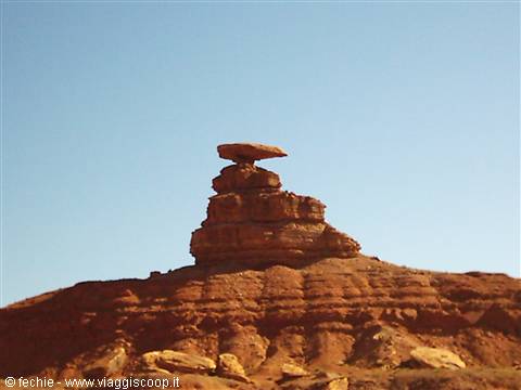
Mexican Hut
Day 67 Aug 2004
From Page to Kayenta (Monument Valley) – 204 miles traveled
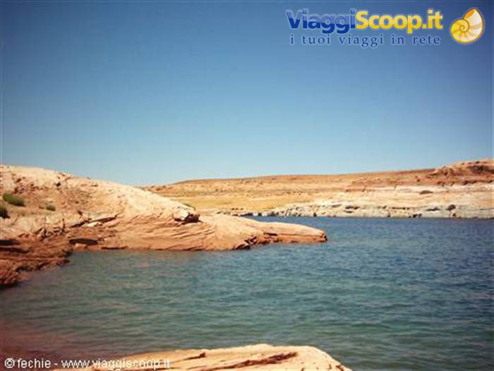
What sun, finally! We have breakfast at the hotel and at 7.30 am we're already on the road. We redo, this time under the sun, the tour we did yesterday in the rain and the shores of Lake Powell confirm themselves perfectly suited to the dark blue water that has invaded them for over 40 years. The overall effect is truly surreal. There are many viewpoints along the road leading to Wahweap Marina. We arrive at the entrance of Antelope's Canyon around 10.00 am, in time to enter at the best hour: between 11.00 am and 2.00 pm, in fact the sun enters the very narrow canyon lighting it with a crazy amber-red colour. The trip, only organised and very expensive ($21 each), lasts about 1 hour and a half. You reach the canyon entrance in big Jeeps driven over the red dirt by native Navajos.
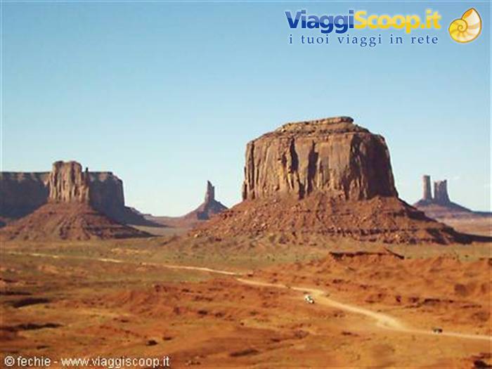
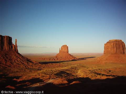
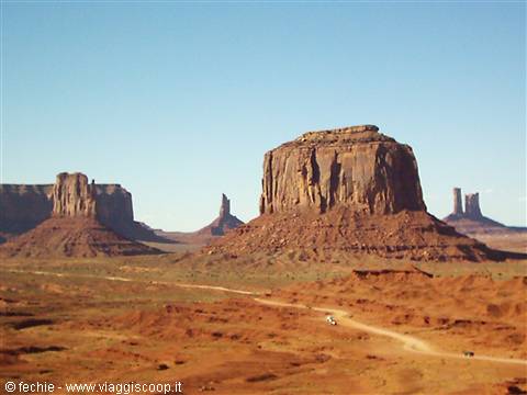
The visit is worth doing, a shame there are a bit too many people, given how cramped the place is, even though our tour compared to the next one at noon is practically deserted! The road that from Page leads to Kayenta (I160), the antechamber of Monument Valley, is truly magnificent; at every mile the colours change and the landscape goes from flat to jagged continuously. The signs of the Monument are numerous: monoliths standing out against the blue surrounded by stretches of green and yellow "bush" as far as the eye can see. A short stop at our Best Western Weather Hill in Kayenta (excellent) and off towards the entrance of the Monument along the 25 miles of Scenic Route 163. The Visitor's Center already offers a breathtaking view of the three most famous monoliths, the "Mitten"s, the ones that recall boxing gloves.
We pay $10 entrance because we're on Navajo land (which is nothing compared to what we spent at Antelope's Canyon) and set off in our car for the 17 miles of dirt road that winds through the most scenic points of the valley. The time is the best, it's almost 5.00 pm and the sun gives the landscape a warm red colour. I'd say the late afternoon sun is an essential element for seeing these places. All around us the view is unforgettable and leaves us with some of the most beautiful images of this trip impressed in our minds. The people driving around disperse so in fact there's none of the crush I feared to find and we often manage to listen to... the silence! We finish the tour a few minutes before sunset. We enjoy it from the terrace of the Visitors Center which, I repeat, has an exceptional view.
Many guides indicate John Ford Point as the best point from which to watch the sunset, but at that hour it's totally in shadow and we prefer to stay in the sun. Tip: the dirt road is in good condition and can be travelled even with a camper. Guided tours aboard the Navajo Jeeps, besides being more expensive, have the disadvantage of being crowded (10 people per jeep) and the stops are predetermined even in duration, just the time to take a photo and off you go. If you can, avoid them, and on top of that you'd also eat a lot of dust. We have dinner late at the Amigo Café in Kayenta recommended by our Routard which offers dishes of Mexican/Navajo cuisine. Clean, cheap ($14), run by women (you can see the efficiency) and quick. A shame it's a bit late (9.00 pm) and we're among the last customers of the place. Kayenta falls asleep really early in the evening.
Worth trying are the hamburgers served in homemade bread, a sort of enormous Tuscan panzanella. Good night!
Canyonlands
Day 78 Aug 2004
From Kayenta to Moab (Arches and Canyonlands) – 341 miles traveled
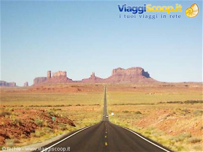
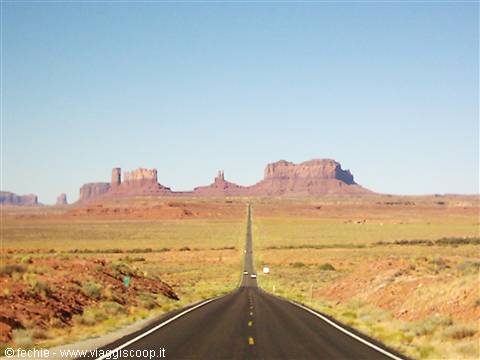
The day starts with a fantastic sun! At 8.00 we set off on the I163 North, towards Moab. We pass near the Monument again. Even with the early morning sun...how beautiful! At a certain point from the rear-view mirror I realise that we've just travelled the stretch of I163 whose panorama has been my home PC wallpaper for years! Yes, it's the famous stretch of road that straight to the very end seems to plunge into Monument Valley and then turn sharply right. I brake hard, there's no one around anyway, and we stop to take the photo I'd dreamed of! It will become my wallpaper. This time though, I took the photo! The best time to photograph this stretch is the morning, because the sun lights up the monoliths.
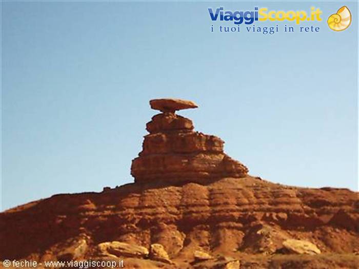
We reach in a flash Mexican Hat, a tiny village famous because it overlooks the San Juan River and because a short distance away there's the famous rock shaped like a Mexican hat precariously balanced, from which it takes its name. At a certain point, a few miles after the Mexican hat rock, we find the sign for the Valley of Gods. The guides don't mention it but I'd read something on the Internet, so we decide to take the detour and try to travel it by car. A decision I highly recommend! The detour takes about 1 hour (17 miles on a dirt road in good condition). We meet only a couple of cars on the whole route. The panorama is legendary: it's a valley full of thick, very low green "bush", surrounded by the high Mesas that could be seen in the distance from the Visitors Center of the Monument.
Here there's something mystical, that's why they called it valley of the gods! The icing on the cake is that the tour ends on the 261. Taking it eastwards, on the stretch leading to the I95, you literally "climb" the Mesa that frames the Valley. The road, paved only at the hairpin bends, is in good condition so much so that we even meet a camper (though it's not advised). At the top the view is spectacular. With the detour into the Valley of the Gods we bypassed the little town of Bluff, described as very pretty by the guides, but we don't feel at all guilty about not having gone there. What we saw was fantastic. We arrive in Moab around 2.00 pm. A stop of a few seconds at our Best Western Greenwell Inn and then we set off for Canyonlands, where we'll stay until sunset. Canyonlands is an immense park, divided into three sections very far apart and not connected.
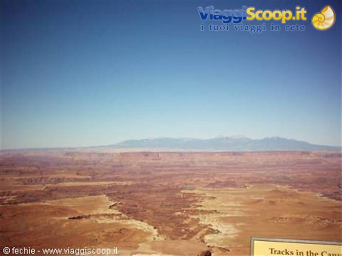
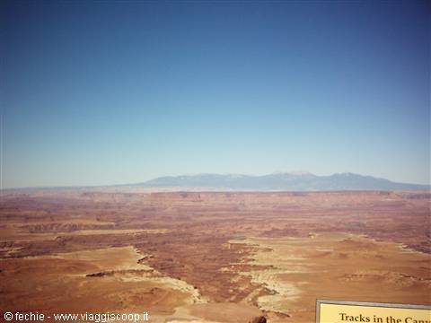
One of these is accessible only by off-road vehicles. We're left to choose between The Needles and Island in the Sky. We opt for the second which is only 40 miles from Moab. About ten miles north of Moab you turn off towards the Park onto a very scenic road. First we stop at Dead Horse Point which is a state park near Canyonlands ($7 entrance) famous, besides for the landscape, also because it was the set of the final scene of "Thelma & Louise", the one with the car plunging into the void. In both Parks you can easily get around by car stopping at the most suggestive points and following an infinite number of trails of few or many miles. We do 2 short ones but with great effect. The first is the Walheap Dome (1 mile, extendable to 3) which leads to a viewpoint overlooking a crater covered in salt of volcanic or "meteoritic" origin (it's still not clear).
The second is the Mesa Arch Trail (1 mile) which leads to the natural arch of the same name overhanging the mesa with a spectacular view of the canyons below. I must say that what you can see at Canyonlands and at Dead Horse Point has nothing to envy of the Grand Canyon, in fact the variety of landscapes, the horizon as far as the eye can see and the more intense colours had a stronger effect on me (a very personal opinion, though). In the evening we return to Moab and go confidently to the Moab Brewery, a steak house where they also make beer (try the Dead Horse). I eat a NY Steak and Dany insists with her very sad Chicken Caesar's Salad. We have dinner outdoors and the hot dry climate is ideal (air conditioning, get thee behind me!). The view isn't great because the terrace looks onto the main road.
I must say Moab is a very cheerful little town full of young Americans who love to spend their holidays here, between a rafting descent on the Colorado, mountain bike trips and fun evenings. Everyone looks at us: we're dirty (with red sand), sunburnt (the sun is beating down at 2000 metres of altitude) and hungry. It's decided: tomorrow morning we'll rent mountain bikes too and do an easy trail all around the boundary of Arches National Park. It's almost 11.00 pm. Night!
Arches NP - Balanced Rock
Day 89 Aug 2004
Moab – 96 miles traveled
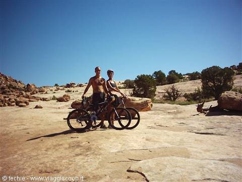
After an abundant breakfast at Denny's we go to rent the two bikes. Choosing where is not a problem. It's full of shops and, as they told us at the Visitors Center, the prices are the same everywhere. The price changes based on the model. We stop at Slicky Rocks Bikes where for $75 we get two excellent bikes with dual suspension and disc brakes (yes, bikes with disc brakes do exist). They fit the Bike Racks, that is the bike carrier, and after a brief test of the equipment we get them to recommend a route of medium difficulty. We opt for the Klondike Bluffs Trail which is located 16 miles north of Moab, shortly after the junction for Canyonlands. It is about 16 miles round trip and the destination is the northern boundary of Arches National Park from which, they assure us, there is a magnificent view of the Park.
At 9.00 am we are ready to…pedal! We carry 3 liters of water each, which we will consume down to the last drop. The trail is easy for half of the way, a gentle climb toward the boundary with the Park. Then the difficult part begins on the Slicky Rocks, that is on genuine stretches of white rock. The climb becomes strenuous and Dany freezes every time there is a bit of sand on the ground (with little squeals that blend nicely with the sounds of the local wildlife). Along the sides of the route it's full of dinosaur footprints dating back more than 65 million years. The fatigue makes itself felt and the heat quickly reaches 38°C. But we are equipped and full of water, so we push on without hesitation. In two hours we reach the destination.
The fence that marks the boundary with Arches has a small passage dedicated to those who make it all the way here, and in a 10-minute walk we reach a view of the valley beyond which Arches presents itself in all its beauty! It's just the two of us! What silence! What heat! What a view! We stop for quite a while to enjoy this peace (and to recover) and then begin the descent. Epic, incredibly fun. It takes us about 1 hour and a half. We reach the car devastated, thirsty and sweaty, but thrilled to have done something truly fun and off the usual itineraries worn out by tourists. We return the bikes, take a decongesting dip in the pool of our Best Western, eat a pizza at Pizza Hut and at 4.00 pm we enter, this time by car, Arches National Park.
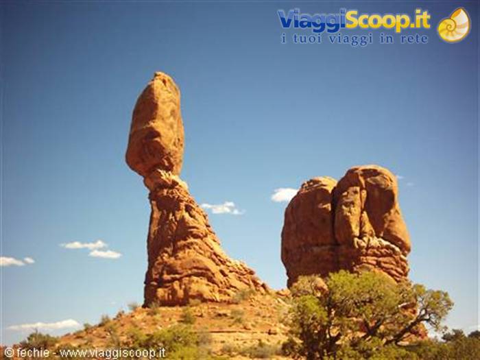
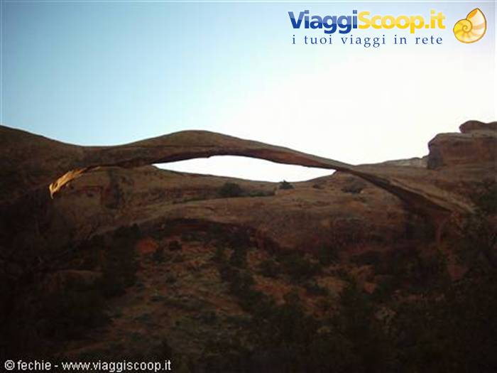
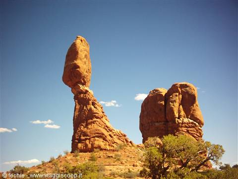
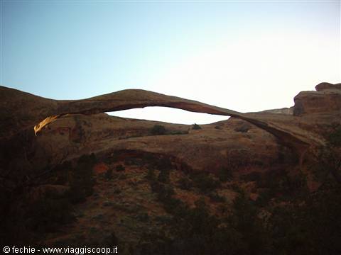
Map in hand, we zoom along the whole road of the Park and stop, besides at the most scenic points (how beautiful the view of Park Avenue is!), at the trailheads of the most famous trails. We do four of them: • the Devil's Garden trail which lasts about an hour round trip and leads close to all the most beautiful natural arches, first among them the Landscape Arch, symbol of the park as well as the longest arch in the world, but also the Tunnel Arch and many others; • the Balanced Rock trail, very short, around the famous rock of the same name balanced precariously, and the Double Arch Trail which goes right up under an imposing double arch. For the record, both sites were the setting for the first 10 minutes of the film Indiana Jones and the Last Crusade; • the Delicate Arch Upper View Point Trail which we do at sunset.
There's nothing to be done, the late afternoon sun gives the landscape a certain something mystical. We can't manage to do the trail that goes right under Delicate Arch (3 miles) because we are really too tired. Unfortunately we visited the park in less than 4 hours (a bit too quickly) and we were sorry not to make it right under Delicate Arch (which is the most beautiful in the park), but we are happy to have devoted the morning to the Mountain Bike ride because the satisfaction and the reward for the effort were one of the most beautiful moments of our trip. The fact is that after a quick shopping trip at the Market and an abundant dinner at Moab's Brewery (so friendly!), we return to the motel and at 10.30 pm we collapse under the weight of 16 miles by bike and 4 miles by foot. Good night!
Arches NP - Delicate Arch
Day 910 Aug 2004
From Moab to Panguitch (Bryce Canyon and Zion) – 349 miles traveled
Today is San Lorenzo (for the record). We have breakfast at Moab's Jail House Café, a little place discovered by Dany that serves breakfast outdoors. Excellent quality, American in style. After filling up (food and gas), we set off for Panguitch, our base for the visit to Bryce Canyon. I had calculated a little more than 150 miles, but evidently I was wildly wrong since we do 250 miles (and we didn't take the wrong road!). We drive along the I70, along which for over 100 miles there is no human settlement (the sign at the beginning is clear: No Gas, Food or Lodging for next 106 miles). On the other hand the scenery is spectacular. From desert-like it slowly becomes mountainous with pine forests all around. We exit onto the I70 West and take the 89 South for about sixty miles, to Panguitch.
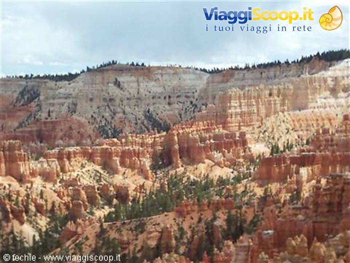
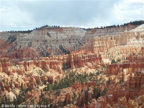
We take a room at the usual Best Western (New Western Motel) and at 2.00 pm we are at the entrance of Bryce Canyon. The road that runs through the park is 18 miles long (one way only). We stop at the most significant points and walk numerous Trails on foot, the most beautiful of which is the Navajo Trail which from Sunset Point penetrates deep into the Amphitheater, the most spectacular part of the park, where the Hoodoos, the red pinnacles dusted with powdered sugar, dominate the landscape. It is a rather strenuous trail, also doable on horseback. At sunset, having finished the whole visit, dirty with red sand to the bone, we return to Sunset Point: What colors, and on top of that a storm not far away has drawn an enormous rainbow! And then the altitude (2500 meters) makes the climate truly pleasant.
All in all the day was less tiring than expected, even though the landscapes were once again unforgettable. Late in the evening we return to Panguitch, which by the way is a very quiet little town, away from the tourist chaos of Ruby's Inn, which is just before the entrance of the park. We have dinner at Cowboy's Smoked House on Main Street. Excellent was my steak cooked in a stove fueled with Mesquite wood. Dany insists with her Chicken Caesar's salad…
Bryce Canyon
Day 1011 Aug 2004
From Panguitch to Las Vegas – 263 miles traveled
Today we take it easy, Dany grants me to stay in bed until 7.30. We decide that before setting off for Zion National Park it's worth stopping to take a walk in Red Canyon, just before Bryce. We had passed by yesterday without stopping, but the intense red color of the pinnacles had struck us. We take a 45-minute walk (I even managed to get lost) in total solitude, given the hour. It's the Pink Cliffs Trail. The leg to reach Zion is short, 60 miles. The altitude along the road decreases and the temperature rises along with the humidity. The road that from the Park entrance leads to the Visitors Center is incredible: winding and narrow, surrounded by very tall red mountains, in some points with alternating one-way traffic. On top of that it's painted red, so as not to contrast with the surrounding landscape. It's 37°C.
Given the high number of tourists, from April to October, the Park, which is actually a deep Canyon carved by the Virgin River, can only be visited using the Free Shuttles that run along its entire length, up to the Temple of Sinawava. So we ride the shuttle through the whole Canyon because we have decided to walk the River Side Walk which begins at the end of the drivable road and winds into where the Canyon is so narrow that at a certain point to continue it is necessary to walk in the river (if you want to go into the stream I recommend bringing the "German" sandals that dry quickly, which we didn't have). On the way back we walk some stretches on foot, to fully enjoy the landscape, and others by shuttle.
There is a humid, suffocating heat! We would also like to venture onto the trail that leads to the Emerald Lower and Upper Pools, but a storm is approaching and it is not advisable to stay under the trees. So we make a stop at the Canyon Lodge. Zion is a beautiful park even though, I must say, rather chaotic in August and all in all not that different from many landscapes we can find back home in Europe, in the Dolomites, for example. It's late afternoon and for tonight we haven't booked any hotel. The idea is to get as close as possible to Las Vegas to break up the long journey that separates us from Death Valley. We try to stop at St. George, 120 miles north of Las Vegas, but we realize that it's a big chaotic city and not at all capable of intriguing us, so even though it's a bit late we decide to make an effort and go all the way to Las Vegas.
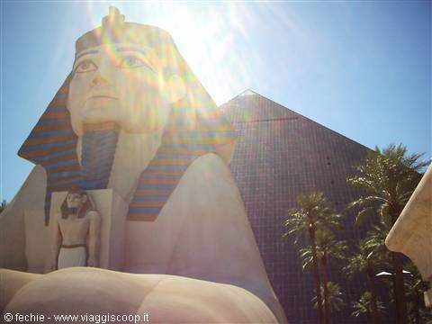
After all it's a fun city and the idea of spending another night there, maybe in a super room super cheap in a super hotel, pleases us. And indeed…we find a place on the first try at the Luxor, the pyramid-shaped one. For $89+tax they give us a mega room on the 19th floor, 19308. We rest a bit, also to enjoy the room, and then we dive into the Pharao's Buffet, an All You can eat that for $16 each stuffs us impossibly! Outside it's over 40° C and it's now past 8.00 pm. We realize we have come full circle. We had set off from Las Vegas a week ago for the Grand Canyon and here we are again, a little sad, after seeing unforgettable places! But no melancholy, we still have a ton of things to see!
Death Valley NP
Day 1112 Aug 2004
From Las Vegas to Pahrump (Death Valley) – 323 miles traveled
This morning we decide to do things with extreme calm. Check-out at the Luxor must be done by 11.00 am (by the way, if you pay by credit card you can do it directly from the room via the TV, avoiding the lines at the desks) and until the last minute we stay in the pool (or rather in the pools) sunbathing and swimming. Already after 8.00 am it's over 35°C, but being in the water you just don't feel it. We set off for Pahrump, our support base for the visit to Death Valley, a visit we will do between this afternoon and tomorrow morning, to take advantage of the less hot hours. The route along the I95 North involves driving alongside up to Indian Springs the famous Base 51, the immense military area where it's said alien spacecraft are kept (anyone who is a fan of X-Files knows what I'm talking about).
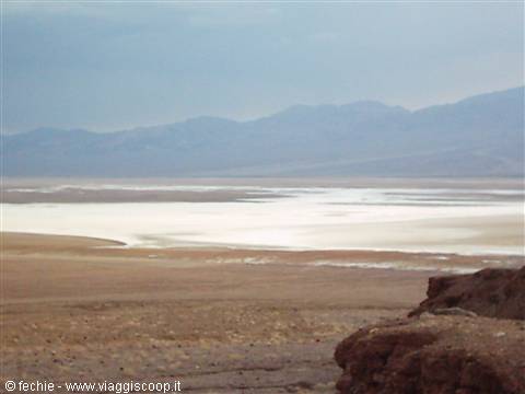
Nothing special, since even though the base borders the Freeway, the military are careful not to leave anything suspicious in view. We turn onto the 160 West and within an hour we reach our destination. We settle into our Best Western Pahrump Station (brand new, nice and very clean, even though located in a very sad little town) and immediately set off for Death Valley. It takes about 40 miles to reach the entrance of the Park, where we stop to take a photo of the sign marking the entrance. We leave the detour to Dante's View for tomorrow and go directly to Zabriskie Point. It begins to be hot, very hot 110°F, that is 42°C, and we are still at almost 1000 meters of altitude. The landscape is lunar and in the distance, down there below, one glimpses the salt depression at -86 meters above sea level.
The next stop is at the Visitors Center of Furnace Creek, where with our National Park Pass they give us the map of the Park. Since we have to cover a very long stretch (so far we have done Pahrump-Shoshone-Zabriskie Point-Furnace Creek and we still have Furnace Creek-Bad Water-Shoshone-Pahrump to go), we don't waste time and after visiting the museum we set off on a stretch of road 57 miles long where total nothingness will reign supreme. The thermometer reaches our personal record: 122°F, that is a round 50°C. Our car holds up perfectly and we can enjoy this fascinating nothingness made of salt flats surrounded by arid mountains and the colors of iron and manganese.
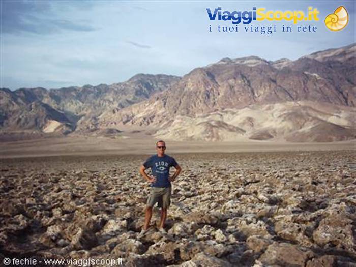
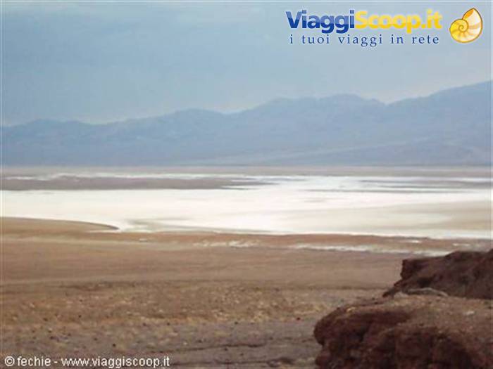
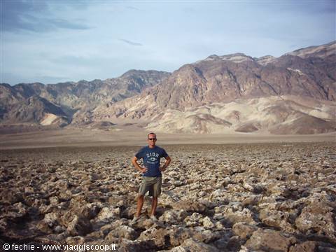
We do the Artists Palette loop that climbs up into the mountains and involves a good half hour of detour, we reach the Devil's Golf Course to see up close the salt concretions shaped by the wind, and Badwater where we reach the saltwater pool at -86 meters above sea level. Every time we get out of the car a wind at 50°C hits us full on, making us sweat instantly in an impressive way. I must say, however, that it is a fantastic experience to experience these extreme temperatures (here the record was 57°C in the past)! The day is cloudy and the sun that shines through helps give the place an infernal appearance. The sunset is nothing short of surreal. From Badwater (the last place for the stop) to Shoshone there are about 45 miles which we cover at dusk in total solitude. Around us only expanses of salt and the road, at times rough and winding (though flat).
Inside us creeps a subtle anxiety due to the fact that the total darkness and the absence of other humans (we don't even cross a single car) makes us doubt we will manage to arrive anywhere. It really seems that a final destination doesn't exist. And yet, well past 9.00 pm, here in the distance are the lights first of Shoshone and then of Pahrump with the reassuring signs of McDonald's (for dinner) and of the Best Western (for rest). We are safe and tomorrow part of the route repeats. Once we reach Furnace Creek, however, we will continue northwest toward Three Rivers.
Death Valley NP
Day 1213 Aug 2004
From Pahrump to Three Rivers (Sequoia N.P.) – 480 miles traveled
Today's leg is the longest of the trip. We have to reach Sequoia National Park. We will cover about 400 miles plus the 26 of the detour to Dante's View, the 1700-meter peak with a fascinating view over the whole Death Valley. It's "cool" because it's early and we're in the mountains. We continue after Furnace Creek on the I190 in a westerly direction to Olancha and then proceed first south on the 395, then west on the 178 and then again north on the 65. A distance that as the crow flies wouldn't exceed 80 miles translates on the ground into circumnavigating the Sierra Nevada. The journey is heavy also because there are few stretches of Freeway and there are many passes to cross.
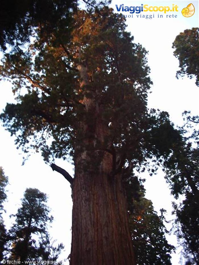
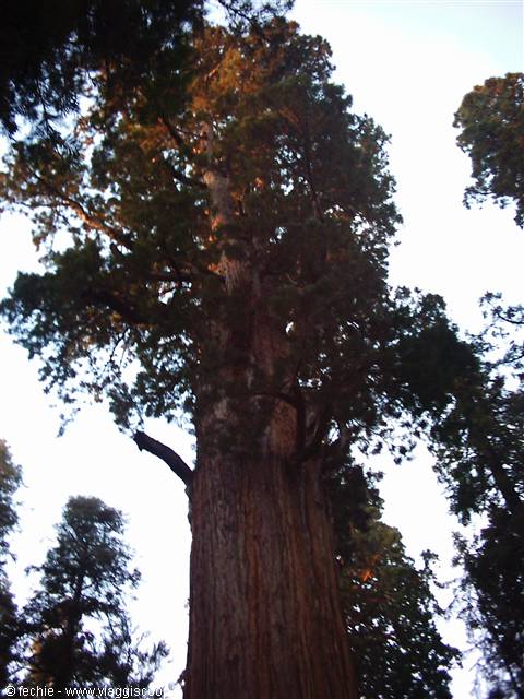
However it's a truly fascinating route: in 8 hours of travel we go from the fiery salt desert at -86 meters to deserts of sand dunes, until we approach Mount Whitney, the highest peak in America (4400 m) with dense pine forests. The temperatures we go through range from the 40°C of Death Valley at 9.00 am to the 25°C of Towne Pass and then back to 35°C in the California desert. We arrive at the Best Western Holiday Lodge in Three Rivers (a few miles south of the entrance of Sequoia National Park) in the late afternoon. We are exhausted, but determined to immediately visit the Giant Forest, home of the largest living being in the world: the giant sequoia General Sherman, 2700 years of life, 84 meters in height, 31 in circumference at the base and an impressive rate of growth (say the guides).
The road that from the Park entrance leads to the Forest, the Generals Highway, is 25 miles long, but it takes about 1 hour to arrive in the presence of the General because it is truly narrow and winding. The destination is at 1600 meters of altitude. The landscape is magnificent: the Giant Forest is populated mainly by thousand-year-old sequoias. We feel so small…a sensation I had never happened to feel before. It's a bit late, it's almost 7.00 pm and the sun no longer illuminates the enormous mass of the General except the branches with the leaves which are at no less than 50 meters of height, but we have the advantage of being almost alone.
I stop to touch the trunk of a sequoia not much smaller (He is unapproachable) and it almost makes an impression on me, it's alive, the trunk is damp, it breathes! It is truly an enchanted place and, without wanting to be banal, it seems that from one of the many holes in the trunks of the sequoias a gnome or an elf must pop out at any moment! There are many walks to do and all beautiful, we only do a little bit, because it's now almost evening. We have dinner late at the River's View Restaurant on the way back. We sit outside, at the edge of the river, a group of young Americans plays background music. A magnificent starry sky makes us understand that it's time to go to sleep.
Itinerary
Day 1314 Aug 2004
From Three Rivers to San Francisco – 266 miles traveled
Today the last leg on the road awaits us, 260 miles to San Francisco. We set off refreshed by a swim in the pool of the Holiday Lodge. The swimming break allows us to realize that due to a mistake of ours or of the agency in Milan we will have to return the car on the day of departure at noon and not at 6.00pm as planned. I try to call Hertz to ask to change the drop-off location from San Francisco airport to Downtown to avoid having to arrive at the airport 9 hours before takeoff. I speak and understand English, but with the Hertz call center it was impossible to sort things out. The service is automated, you have to press 1 if you're a foreigner, 2 if you want to know this, 3 if you want to ask that, in short I can't manage to speak with the right operator. So we decide to go to the San Francisco office in person, it will certainly all be simpler.
We drive along the I99 West to Visalia, then the 152 west and finally the 5 and the 580 North. The landscape becomes interesting about 70 miles from Frisco, where the endless hills burned by the sun have a golden yellow color. Meanwhile the outside temperature begins inexorably to drop: at 2.00 pm, when we arrive in Oakland, at the gates of Frisco, it's 68°F, that is about 20°C. the cold wind of the Bay begins to make itself felt. We enter Frisco from the Bay Bridge, the bridge that connects it to Oakland. It is a very long bridge inaugurated in '36, a year before the Golden Gate, but the fame of its antagonist makes it of little interest to tourists. The temperature is now below 20°C and the famous fog makes everything gray. We find our Best Western Tuscan Inn relatively quickly. It's at Fisherman's Wharf, the neighborhood facing the Bay and near North Beach.
It's known for being the liveliest place in Frisco, thanks to its Piers (the most famous are 41, from where you board for trips in the Bay, Alcatraz above all, and 39, a sort of enormous shopping center made of dozens of shops, restaurants, fast food). The location is excellent, we are a step away from the terminus of the Cable Cars, the trams/funiculars that lead toward Union Square, the main square of the city. First of all we decide to take a long walk on Mason Street, to the Hertz office, passing through the center, testing our legs on the incredible ups and downs that make Frisco unique of its kind and visiting the Cable Cars museum which is also the place from where all the cables that drag the little trains up and down the city start. At Hertz in 30 seconds we understand that there is no problem, nor any overcharge, in changing the drop-off location.
Perfect! Meanwhile evening has come and we return (on foot) to Fisherman's Wharf, where we have dinner at the Crab House, a restaurant on Pier 39. I wolf down a whole crab cooked their way in an excellent garlic-based sauce. Not eating crab in Frisco is a bit like not eating pizza in Naples! A nighttime stroll among the useless (but so appreciated by women) souvenir shops and then off to bed!
Sequoia NP - General Sherman
Day 1415 Aug 2004
San Francisco – 51 miles traveled
At 8.00 am we are already in the car, we stop at Starbucks for a European breakfast, just to start getting used again to the taste of the classic cappuccino and the Brioches that await us on our return to Italy. We devote the whole morning to visiting the most interesting points of the city: • Lombard Street, which we drive down in the car alone, given the hour and given that it's Sunday • Chinatown • North Beach, the Italian neighborhood • Telegraph Hill with the Coit Tower • Twin Peaks with its view over the city • The Golden Gate Park, where we take an hour-long walk among the residents spending Sunday outdoors between a run, a Yoga class and a Barbecue.
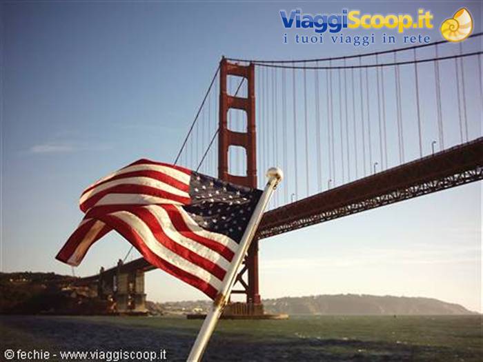
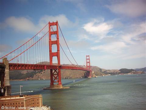
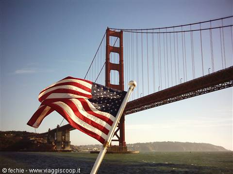
We visit, again by car, the Presidio, the old military zone today a National Recreation Area which, indeed, guarded the Golden Gate, the narrow stretch of sea that allows entry to the Bay which today is dominated by the Golden Gate Bridge. We arrive in the presence of the Bridge when the sun begins to emerge from the fog, which quickly dissolves completely. There's no denying it, it is a decidedly photogenic Bridge, be it for the location, at the entrance to a bay carved by freezing and powerful winds, be it because it's red, but it is truly a beautiful spectacle, so much so that we walk across it to the center of the span (walking entrance is free). Under the Bridge, on the Frisco side, there is Fort Point, the outpost for the defense of the bay, saved from demolition thanks to the will of the designers.
In the early afternoon, crossing the Golden Gate this time by car, we arrive at Sausalito, the little seaside town that rises just after the bridge. We have lunch in the sun and take a little stroll. The little town is cute, and it is an exclusive vacation spot, but it doesn't merit too long a stop. We cross the Bridge again, paying the $5 toll, and we realize that at this point our faithful and beloved Subaru Outback is really no longer needed. We have visited the most distant points and for getting around the city the buses or feet are better, on top of that Frisco suffers from a chronic lack of parking (very expensive) which increases its resemblance to old Europe. So, after 3281 miles (about 5250 km), after thousands of kilometers of asphalt and dozens of kilometers of dirt roads, we return it to Hertz. It's as if we had abandoned a dog on the side of the road.
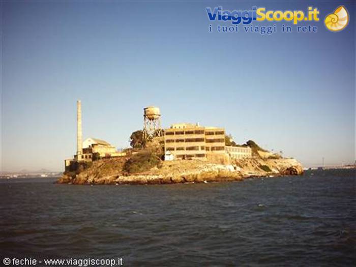
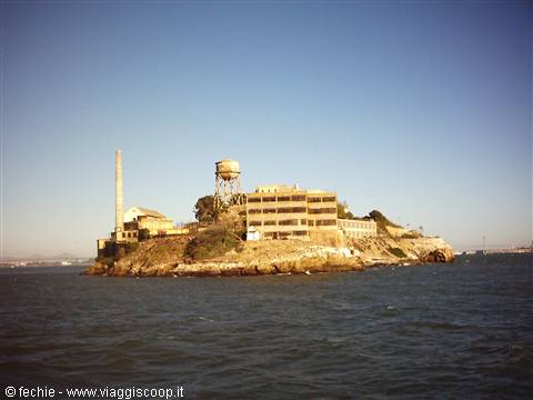
We feel disoriented without our kennel where we spent so many hours of travel laughing, singing, eating, planning the itinerary, admiring the endless landscapes, writing this account and even risking a few nods off along the interminable straightaways that cross the legendary West! Oregon 505BBF that's its license plate. We console ourselves with a ferry trip in the bay (we skip Alcatraz, already visited about ten years ago) to take advantage of the beautiful and mild day, to admire the skyline and, once again, the Golden Gate. We go for the first time since we've been in the States to the Hard Rock Café, after all it's a place that is part of the history of America in Rock. Here in Frisco you feel a bit at home in our old Europe.
To those who have traveled and visited the European capitals, strolling through its streets it will seem to be sometimes in London, sometimes in Paris, sometimes in Lisbon. Then you just have to enter the shops, the fast food places, the restaurants to realize that even here the American style, though more discreet, reigns supreme.
San Francisco - Golden Gate
Day 1516 Aug 2004
From San Francisco to Munich to Milan
There is still a good half day left before we have to leave for the airport. We will take off at 9.00 pm, but we will go to the airport around 6.00 pm given the scrupulous check-in operations due to the raising from yellow to orange of the terrorist attack risk level. We take the Cable Car early, the line that from Fisherman's Wharf leads to Powell Station passing through Union Square. We have breakfast at Lori's Dine, a '50s place with armchairs upholstered in red vinyl. We devote the whole morning to shopping. We visit Macy's, Levi's Store, Nike Town, Timberland, etc… I buy myself a pair of jeans that according to Dany are too cool and then anyway they cost less than half compared to Italy (35 euros versus over 80).
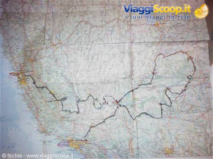
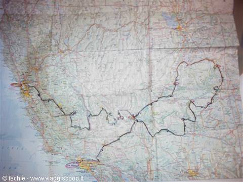
We stop to sunbathe (today too the fog is on vacation) on the steps of Union Square right at the hour when the city's office workers come out of their offices for the lunch break. We enjoy their eating habits, strictly practiced outdoors: "big salads" (women) and sandwiches (men) reign, plus of course half a liter of coffee. We return to Fisherman's Wharf walking through Chinatown entering from the Chinatown Gate not far from Union Square. Here lives the largest Chinese community in the United States. We are quite melancholy, as is normal after a trip of over 5000 kilometers through some of the most beautiful places on Earth. We draw on the map with a marker, sitting in the sun of the bay, the itinerary we traveled in 15 days and we are truly proud. The images of this trip will never leave us.
0 reader comments