Travelling across Iceland. Km 3832. Text by Anna Marchisio. Photos by Marco Giovo - Anna Marchisio. As I get ready to complete the pages of my travel diary, the country I'm writing about finds itself having to go through a serious economic crisis; not that the rest of the world is doing much better, but for a country that isn't used to occupying the front pages of world news this certainly isn't what the local people would have wished for to get a bit of attention for themselves and their country. Like all the countries I've visited, Iceland too found its little place in my heart, and perhaps because I've been there, because I've travelled its roads, walked its paths, met its people, or because I was for a while part of this world, once back I can't help but take an interest in what happens to it. And since we're on the subject of the economy, let's tackle it right away...
Maybe it's because prices in Italy have soared out of all proportion, but it seems to me that grocery shopping in Iceland costs no more than in Italy, nor does petrol... Of course, if we're talking hotels and restaurants the prices are a bit steep, but they are in Italy too; let's not kid ourselves that here it costs much less, by now all prices have risen like pizza dough: doubling in value in no time! Iceland isn't yet part of the European Union and its current currency is the Icelandic króna. With this year's crisis and the effect of various inflations and devaluations, I don't understand much about high finance, so I stick to the facts, as I was saying, it has devalued quite a lot, especially against the euro in the last two years, and that's precisely why prices didn't seem to us as exaggerated as they were years ago.
At present the government is seriously thinking of joining the European Union and thus switching to the euro. Surely someone might object that for us Iceland wasn't expensive because we stayed at campsites and brought the little stove from home. A more than fair objection... but I can answer that nothing like our tent gave us the freedom to decide each day where to go, what to do, and above all allowed us to be in close contact with this extraordinary nature. Goodness.. When the ptarmigans started their little concert around four in the morning we'd gladly have shushed them, but it was still so lovely to hear them singing a few steps away from us. The weather in Iceland is certainly no ally of campers. Despite all the most pessimistic forecasts from friends and relatives, we didn't get all the rain they'd predicted.
It rained when we arrived and it rained when we left, but during our stay we didn't have to reckon with rain. We did, however, have to reckon with the strong wind and low temperatures. Our tent nonetheless did its job as best it could, and even though at times putting it up and taking it down was made very difficult by the strong gusts of wind, all in all we managed very well and we feel we can recommend this solution to all those who have no problem adapting to the climate and facing a few small difficulties. Oh yes.. it's not quite the same as camping on the Riviera! The Icelandic climate is nevertheless temperate. It's cold, of course, we're in the north, but the Gulf Stream helps to keep this temperate climate. The Gulf Stream, for those who don't know, is a warm current that helps to counteract, at these latitudes, the cold currents arriving from Greenland and the Arctic.
Back to camping... the little stove was another wise choice! Also because campsites are often in the middle of nowhere, so without a 'kitchen service' to hand you risk being left without dinners and breakfasts! For the gas cylinders, the best-known types and brands are available on the market, including the one that suited us. They can be bought from the Oz petrol stations. If you're lucky, at the campsite in Keflavík or Garður or maybe the one in Reykjavík you'll find the ones left over by departing travellers, which are left in special places to be used by those who need them. In short, nothing goes to waste! As for services, they range from basic campsites with toilets and sinks to the better-equipped ones with showers, washing machines and some even with a kitchen.
Generally, barring a few exceptions, they all also have hot water and the heating on! In some cases the shower is included in the campsite fee, in others it works with coins, in others again you pay the caretaker. Most of the time there's no caretaker on site: you arrive, choose a nice patch of grass and settle in. It must be said, the lawns are perfect for pitching a tent, they're all beautiful, English-style lawns. Usually towards evening the caretaker does his round and comes to claim the fee, and although it may seem strange or out of place, he turns up with a nice POS with a wireless connection that accepts credit cards. And to think I live in a town of seven thousand inhabitants and I can only use my credit card at the supermarket! The roads, not the tracks, are very beautiful, both the paved and unpaved ones.
You can comfortably travel them with an ordinary car without any difficulty. The tracks are slightly more bumpy and there are no bridges to cross the rivers, so a very sturdy, high-clearance vehicle is needed. This time we rented a car; our intention was to begin getting to know this country from the start; there'll be time for the interior tracks next time, even though... we've already had a taste this time! What can I say about Icelanders? Mmmmhhhhhh…. I didn't find them particularly sociable; it might be the isolation, the different culture, who knows... but on the other hand I found them rather noisy.
At a campsite just put together a few families and the racket is guaranteed! It should be said, though, that almost all of them speak good English, so communicating isn't difficult, but I believe this exactly reflects what I read, that in Iceland there's a high cultural level and no illiteracy.
Day 128 Jul 2008
But why is getting around by public transport always a tragedy in Italy? We didn't feel like leaving the car at the airport for all that time, and we didn't want my dad to drive us either, seeing as Malpensa, compared with our home, is hardly what you'd call "just around the corner". Checking all the bus timetables carefully, I see that with a combination of buses we can get to Malpensa with a good, indeed very large, margin before the flight's departure, so we decide to give it a try. We have a friend who is particularly obsessed with using public transport; for once we'll embrace his principles.
I must also admit that for me, someone who commutes all year round, spending the first day of the holiday waiting for buses, stamping tickets and checking timetables is not exactly a great way to break away from the daily grind! Anyway, joking aside, we made it to the airport! It took a long time, but we made it! Ironically, the flight to Reykjavík, scheduled for 11:30 p.m., was delayed!
Strokkur - Geysir
Day 229 Jul 2008
We land in Reykjavík rather sleepy—there was someone on the plane who thought it was a good idea to chat the whole time, and couldn't they have kept quiet a bit, given the hour???? Once we've collected our luggage we go to pick up our car, which we had booked from Italy. Well… our experience with public transport had been limited to Italy! Here we want to be independent and above all to travel as we please, without constraints of time or timetables! It must be said, though, that there is no railway network in Iceland, so the only public transport is the buses connecting the country's main towns. We leave the airport at four in the morning (local time); it's dark and raining.
What do we do? Going to look for a campsite and pitch the tent is out of the question; going to look for a hotel? Who has the energy at this hour to start searching, especially just to sleep a couple of hours! We stow our luggage in the car, settle ourselves as best we can on the seats and good night… see you when it's daylight. Towards seven we are woken by the airport coming back to life; a plane has taken off! The weather is rather uncertain and I immediately say to myself… "wow, what a fine Icelandic sky, with all these clouds; I wonder if it'll be like this the whole trip!" The airport is at Keflavík, on the Reykjanes peninsula, where we decide to begin our visit. Once we've stocked up on a bit of food—there are supermarkets practically everywhere—and on the precious gas cylinder, we head straight for Garðskagi.
It's a fine headland battered by strong winds, considered a paradise for birdwatching. There are two lighthouses and a free campsite. It's a quiet, silent place, rich in scenic charm. The strong wind that ruffles your hair, the cold that seeps into your bones, the scent of the sea wrap this place in a special charm, a unique and indescribable poetry; it's no coincidence that I decided to come and spend our last night in Iceland here. We resume our journey along this peninsula, slowly getting used to these desolate, lonely landscapes. Traffic is practically non-existent too. We stop at several points to watch some bird perched on a rock, to scan the endless horizon of these lava fields dating back to the 13th century, wondering how such boundless, infinite desolation is possible.
We stop in the Valahnúkur area, where the ruins of Iceland's oldest lighthouse stand and where many birds can be seen on the nearby cliffs. We walk on the bridge between the two continents—and yes, it is the point where the North American tectonic plate meets the European one; there is also a place where the two plates are moving apart instead, but that's another place, another story. We also pass through the Blue Lagoon area, but we only stop to observe the contrast of the blue water flowing among the black lava fields. A striking, unique contrast. The Blue Lagoon is one of the country's main attractions, a place everyone comes to spend a few hours; it is a thermal spring fed by hot springs emerging at 38°.
The effect of a bath in these waters on the skin is like that of a scrub, while for your hair it's not exactly a great thing! Despite the awful start to the day, the weather has recovered. The grey sky has given way to a beautiful blue sky. We will learn that in Iceland the weather is very changeable and in no time you go from good weather to bad and back again. The wind, on the other hand, is an almost ever-present constant. An Icelandic saying goes that if you don't like the weather, just wait a moment and the weather will be even worse. All in all, a breath of meteorological optimism! In the afternoon we visit the Seltún thermal springs; there are a series of walkways that let you stroll among not at all fragrant fumaroles, pools of boiling mud and solfataras. The colours of these grounds are striking, the shades that the layers of minerals bestow on our eyes.
We don't get the same pleasure from our sense of smell! What a stink of rotten eggs! For the night we stop at the Hveragerði campsite, a quiet little town. But I must say that in Iceland all the towns are quiet, and sometimes the villages seemed to me deserted, motionless, lonely. Maybe it's because of the adverse weather conditions, but I always found the village streets devoid of life—or at least of what we consider life: not a person on the street, not a child playing outside, not a couple of elderly people chatting while sitting in front of a house door. Nothing… not even dogs and cats resting in a garden. Doors and windows always closed, and the feeling that the inhabitants of these places live their lives mainly indoors.
How can you blame them? If this is the climate in summer, just imagine it in winter! The area around Hveragerði is rich in springs and thermal pools; even the nearby golf course here and there enjoys a bit of steam coming out of the ground. I must admit that after swimming pools, golf courses are Icelanders' second favourite activity. I've never seen so many; certainly the green lawns they have didn't make the construction and maintenance of these places difficult. On swimming pools, I can open a nice parenthesis. Lucky them!! Oh yes… here we have one pool for every—I don't even dare think about it—inhabitants, while they have one for every town, and most of the time they have both an indoor pool and an outdoor one for the summer, and what pools!!! Just outside Hveragerði there is a beautiful geothermal valley with a warm river in which you can bathe.
We pitch our tent in a corner of the campsite; there are many other campers, but despite that it's a fairly quiet place. The sky is clear and the sun shines in the sky until late; it sets shortly after 10 p.m., and the temperatures are pleasant, so much so that we enjoy our first dinner sitting on the grass in front of our tent! You might say, what's the big deal… It's just that we've had very few outdoor dinners indeed! The song of the birds accompanies our first evening in this enchanting country, and the light that seems unwilling to leave us gives the feeling of having very long days at our disposal!
Hamragardar
Day 330 Jul 2008
We wake up very early; we still haven't got used to the many hours of daylight at our disposal. Today we'll cover a stretch of what is called the Golden Circle: Gullfoss, Geyser and Þingvellir. They are three of the places that attract the largest number of tourists: a stupendous waterfall, the Geyser par excellence, and the country's most important historical site, as well as a place where particular fissures bear witness to the drifting apart of the plates of the two continents, the European and the American, which meet here. We'll visit the first two, leaving history aside, but only for the moment. We arrive at Geyser before the hordes of tourists; this is one of the advantages of being early risers. Leisurely, we stroll among several small colourful springs and various boiling pools.
In the midst of all this is the Strokkur geyser, which erupts every 6 minutes, throwing up a jet 15 to 30 metres high, and the Geyser that par excellence gave the phenomenon its name. Geyser unfortunately erupts only once a day, and no one knows when. In the past, tourists, to prod it, had the bad habit of throwing stones into it, with the result that after throwing a stone today and another tomorrow, Geyser became blocked. All this happened around the 1950s; before then it shot out sprays of water reaching up to 80 metres. In 2000 an earthquake, so to speak, shook things up a bit, and today they say Geyser erupts a few times a day. We weren't lucky and always saw Geysir in its typical dormant state, while Strokkur gave us some beautiful memories. Having left Geysir we head for Gullfoss.
Foss is the word that means waterfall in Icelandic; we haven't learnt much of this language, but in the end we've absorbed something too. It really is a tough language; hearing it spoken is incomprehensible, and the writing, too, is often unpronounceable. Their alphabet contains many special letters derived from the runic alphabet. Icelanders are anyway proud of their language, which, unlike other Germanic languages of the Scandinavian branch, has not changed over time, keeping ancient sounds and letters and thus allowing today's Icelanders to read the sagas written centuries and centuries ago, since the language has remained practically unchanged. One thing that intrigued me was reading how surnames come about.
It's not like with us, where the father's surname is handed down from parent to child; in Iceland a person's surname is the father's name with the suffix son added if the newborn is male or dóttir if the newborn is female. In other words, as if to say son of so-and-so, daughter of so-and-so. This way of assigning surnames belongs to the country's culture and also explains why surnames in Iceland have little importance and why Icelanders have the habit of calling each other directly by first name! Oh well… I have always hated calling people by their surname and being called by mine; it seems so impersonal to me! This curious aspect of Icelandic culture fascinated and intrigued me, and I amused myself by reading names and surnames in brochures and newspapers and thus working out the sex of the person who bore the name.
But let's get back to our trip… Gullfoss is Iceland's highest waterfall and also one of the most visited by tourists. It is very striking because the impetuous water plunges in two very spectacular double drops of about 32 metres, all inside a canyon. Its waters are dark, the colour of waters coming from the glaciers, and this loses a bit of poetry. We study the map carefully because the F35 track tempts us. We don't have a 4x4 vehicle, but apart from the unpaved surface, the road presents no particular difficulties. There are no rivers to ford or anything like that. During the summer it is even used by buses heading north, a sort of shortcut. Anyway, after some second thoughts we decide to stick to the itinerary we had planned and therefore to continue east, following the coast.
We wander a bit along the roads of this part of the country with the aim of finding a spot where you can admire the Hekla volcano in all its magnificence. While we're driving around we come across another small waterfall, wedged into a step in the rocks. Very striking; we don't know whether it has a name or whether it is one of the many waterfalls that enrich this country. Iceland's meadows are mostly used for grazing sheep and horses. The Icelandic horse is characterised by its short stature, a very docile and patient temperament, and is known precisely for its great strength and physical endurance. Because of the island's harsh climatic conditions, agriculture flourishes only in certain areas, where cultivation takes place in heated greenhouses. The rest of the fields are mown to produce hay to feed the animals during the cold season.
Images of endless green fields dotted with the white purity of grazing sheep or with huge bales of hay wrapped in white nylon, and perhaps an isolated farm with its church and a small cemetery scattered across all this immensity, are an icon, a feature of this landscape that I like to remember and that I enjoyed lingering to observe. In September the farmers will gather all the sheep scattered across the country before winter arrives. This particular event is enriched with local folklore, songs and entertainment that will liven up the gathering of the animals as far as the pens where they will be grouped. A moment of community coming together that marks the passage from summer to winter. Coming back to the Hekla volcano, it is perhaps the most famous in Iceland and is still active today, although its summit often remains covered in snow all year round.
It is 1491 metres high and it is possible to reach the top on foot. The trails leading to Hekla start from a track not suitable for ordinary vehicles. Even though we started wandering early this morning, time has passed and evening is approaching. We decide to stop at one of Iceland's most striking campsites, let me say it: Hamragarðar. The campsite is right next to two spectacular waterfalls; one is even right behind the campsite. We pitch our tent in a clearing where, at our backs, we can see Gljúfrafoss hidden among the rock walls, a striking waterfall plunging into a hidden canyon. To see it in all its uniqueness you have to take off your shoes and cross the stream that comes out of the gorge into which the waterfall falls. While a little further away you can admire Seljalandsfoss, whose waters fall from a steep rocky slope into a very deep pool.
A path, obviously wet, allows you to pass behind the waterfall and thus watch the water falling impetuously. The campsite is quiet; there are also coin-operated showers and a kitchen. The land is owned by the nearby farm, and around dinner time the warden makes his round from tent to tent to collect the cost of the overnight stay. If we look behind us we see and hear the impetuous rush of the waterfalls; if we look ahead we see the vastness and immensity of this lonely land, of these almost deserted expanses. There are no lights of some town in the distance, no noises of civilisation on the move; there is only the silence of this vastness and of this austere, wild land.
Dyrhòkaey
Day 431 Jul 2008
If until now—two days—the weather has been on our side, granting us clear, barely windy days, for a few days it will show us the other face of Iceland: that of strong, incessant winds, of cold, biting air that seeps into your bones, and of grey, gloomy skies that recall sad autumn rainy days. In short, let's get out gloves and hat, because we'll need them! We postpone all our ambitions in terms of walks and treks until the wind calms down. Cloudy days and cold wind certainly don't help us put our backpacks on and set off towards unknown destinations. Once back on Route 1 heading east, we stop to admire Skógafoss. It's a beautiful waterfall with a drop of about 62 metres from a rocky slope. Quite a few sheep scattered here and there on the slopes of the mountain from which the waterfall falls make the landscape very striking.
A short path climbs up above the waterfall, allowing you to admire the fall of the water from above. It is said that a certain Þrasi hid a chest of gold right behind the waterfall, and some say that now and then you can glimpse the glitter of the gold behind the falling water. Hmm…. Our next stop is near one of Iceland's most easily accessible glaciers: Sólheimajökull, which expands from Myrdalsjökull. Leaving the main road for a track of about 5 km, you reach a small car park, and with a microscopic little walk you arrive in front of the glacier. The glacier's moraine has nothing spectacular or idyllic about it; it mixes ice, earth and sand, and you have to be careful where you walk so as not to risk slipping. In any case, we treat ourselves to a nice little walk on the moraine beside the glacier too. Our next stop is near Dyrhólaey, a majestic stone arch.
The area around the arch is a nature reserve, and there are quite a few puffins coming and going from the sea to their nests. These adorable birds with a slightly sad gaze nest on the mainland inside holes dug in the ground. They arrive flying, land, and then with their beaks full of fish they look around before slipping into their burrow. This is in any case an area of great charm: there are these beaches and these black cliffs with vertical walls where the birds nest, this strange plain that isn't a plain, and then the glaciers—all very striking and evocative. We then cross a vast, practically deserted area, Skeiðarárssandur; this terrain originates from glacial debris carried down to the valley by rivers. In this arid, desert-like land, created only by this sandy and clayey debris, many birds live. The black sand beaches are characteristic.
This particular environment is called Sandur in Icelandic, but the term has by now become part of the international vocabulary to indicate these particular areas, these particular terrains. Among the birds we were able to admire is also the great skua. Described by the guidebook as anything but a friendly bird and also a trifle aggressive. Hmm… we stopped along a track to have lunch, took a couple of steps and saw two great skuas; apart from their somewhat stern, aggressive look, they were not at all dangerous or troublesome. It must also be said that they had no reason to be! Our next stop is Skaftafell National Park. It is the largest national park in Europe by area. Within its boundaries there are spectacular peaks and glaciers, including a portion of the largest ice cap in the world: Vatnajökull.
From this enormous glacier many glacial tongues descend, including the one within the park's boundaries. This immense glacier and this extraordinary park also hold the record of hosting within their boundaries Iceland's highest mountain, Hvannadalshnúkur, a full 2119 metres high. It is possible to reach its summit on an excursion organised by guides who, as well as accompanying clients to the top, also provide all the equipment needed for the ascent. Hvannadalshnúkur is in any case part of an immense crater about 5 km wide. This is Öræfajökull, the largest active volcano after Etna. We have some records too! As the guidebooks and brochures said, this park is a very popular destination during the summer; its visitor centre is packed with people, and in the car park in front, tourists come and go in large numbers.
The park was created in 1967, and originally its boundaries were much smaller; currently there is discussion about the possibility of further expanding its boundaries until it forms a single enormous national park together with Jökulsárgljúfur National Park. If you look at them on a map the two parks aren't really that close, and this new park, once founded, would cover 40% of Iceland's territory—in short, an enormous national park. The origin of the name is more curious: it seems it was the name of an old farm at the foot of the hills. Because of the shifting sands of the glacier, the fields were invaded by glacial sand, and the farm was moved above the sandur to a more suitable place called precisely Hérað Milli Sandur, that is, land between the sands. But it was not to be, and with the eruption of 1362 all the farms were destroyed, and the area was renamed Ö
Jokulsàrlòn
Day 51 Aug 2008
We paid for just one night at this campsite because we wanted to see a bit how the weather would evolve and decide accordingly whether to stay a few days or continue our journey. This morning the sky is overcast and there's also a strong wind. We bundle up properly and with our backpacks on our shoulders we set off along one of the many trails in this park. Our intention is to do a nice loop that, running entirely along the ridge, allows us to see the Morsàndalur valley and the tongue of the Skaftafellsjökull glacier; with a small detour you can climb to the summit of Mount Kristìnartindar (1126 m). The first part of the trail is the same one that leads to Svartifoss waterfall, a waterfall framed by black basalt columns; these are volcanic rocks that, as they solidified, took the shape of long hexagonal columns. Svartifoss in fact means black waterfall.
It's still early and the hordes of tourists have yet to arrive, so we can enjoy this waterfall in peace. It has a somewhat gloomy, peculiar look. The trail from the campsite to the waterfall, round trip, takes about an hour and a half, but we continue on, we cross the little stream that flows out of the waterfall and climb back up the trail in the direction of Sjònarsker, an orientation plaque that as always Marco studies carefully. The wind is strong, we try to continue a bit further past the plaque along the trail we had set out to follow, but partly because of the very strong wind, the grey clouds and the low mists, we ask ourselves what's the point of going on. We consult the map and decide to fall back on another trail that climbs, apparently in an area less exposed to the winds, a tongue of the Skaftafellsjökull glacier.
The wind wasn't mild on this trail either, but this time we don't abandon our resolve and we complete our whole loop. The view from above the glacier is very peculiar, the low mists give it a somewhat gloomy, bleak air; too bad, with the sun it would have been a whole different story. Besides the landscapes, the turf-roofed farm at Sel is also worth a visit. Back at the campsite, we resume our journey heading east toward Höfn. The landscapes you can admire along the way are very beautiful and evocative, and perhaps partly because of the gloomy day or the grey clouds, this climate lends a certain melancholy that makes the landscapes our eyes see flowing around us very evocative. Another evocative place where many tourists gather is the Jökulsàrlòn lagoon, where blue icebergs float in the waters of the lagoon until they reach the sea.
The icebergs break off from one of the many tongues of Vatnajökull and slowly reach the sea; some icebergs even take years to exit this lagoon of about 17 square kilometers. Among the floating icebergs you can observe seals swimming peacefully in these waters, and when the sun is out you can watch them lying on the icebergs enjoying the sun's rays. This second option, due to the very cloudy sky, was not part of our visit! This lagoon, it must be said, has only existed for 75 years and it seems it's growing at a dizzying rate.. uh oh uh oh.. For those who want to go deeper into the lagoon, it's possible to do so by joining one of the organized excursions with amphibious vehicles; devoting yourself to swimming, as the seals do, is a tad inadvisable, the water might be just a tad chilly! As we walk along the lagoon we can observe many Arctic terns, also known as sea swallows.
These little birds are very beautiful and very elegant, they circle in the sky with an innate grace, but at the same time they are very damn XXXX. Besides the adults there are also many chicks that have already fledged (have left the nest); the adults even bring them food, and if they sense danger for their chicks they start their own war to drive away the poor unlucky tourist. They start flying around your head, dive-bombing and emitting a shrill cry. There's nothing to do but leave because they won't let up! We thought we'd stop in Höfn for the night. It's a quiet village, I'd say one of the many sleepy Icelandic towns we've seen. It has a splendid position along the bay; we stroll a bit through its streets until we reach a promontory with a beautiful view.
The campsite is very nice but the wind is really strong so we decide to continue in the hope of finding a campsite a bit less exposed to the cold Icelandic winds. So we stop at Stafafell at the campsite of a solitary farm along with a few other travelers. This too is Iceland: absolute silence, the fierce hissing of the wind, nothing all around, and the silence with which the night slowly follows the day.
Hofn
Day 62 Aug 2008
The wind this morning is even stronger and taking down the tent was really no walk in the park, but we made it through today too. Good grief, without realizing it the tarp we put under the tent took flight, but luckily two French children noticed and immediately went to retrieve it. If it hadn't been for them it would have been lost! Before definitively leaving the Stafafell campsite we stop at the nearby farm to pay for our overnight stay. We thought the farmer, as on previous evenings, would come to collect payment for the night, but since he hasn't shown up we go over to him before setting off. For the record, I should mention that the bathrooms, even if a bit spartan, are stocked with everything you need, there's even a shower (included in the price), a washing machine and a dryer.
The farmer's dog greets us barking, but like all small dogs they make a lot of noise for nothing; we ring the bell and the farmer, or whoever he is, comes to open the door. He's a big man, surely a descendant of the Vikings, with messy hair and a somewhat gruff manner, as befits a farmer in such an isolated area. Having left the farm we resume the road east, we cross the Lòn area, which literally means lagoon, stopping several times to observe and photograph this immense expanse of swans. A large colony of swans nests in this lagoon; I must say I've never seen so many swans all at once. It's a unique spectacle. The lagoon is immense and looking at the horizon you see all these white dots splashing peacefully in the lagoon. Impressive! We then continue our road heading toward the eastern fjords. Although the day is gloomy and grey, the landscapes we pass through are full of charm.
As we approach this area, the broad plains and lagoons give way to harsh mountains that drop sheer into the sea, to stern cliffs, and it's impressive to see the road running along the cliffside high above the sea where the waves crash against the rocks. So we arrive at Djùpivogur, a small village in the eastern fjords with its characteristic colorful wooden houses. The port of this village is the oldest port in the entire fjord region, and from here the boats depart for the island of Papey, or also the island of the monks, because once, before the arrival of Scandinavian settlers, it was inhabited by a group of hermit monks. Today this island is inhabited only by seabirds and seals. If the weather had been nice, the sky clear and the sea calm, we would surely have made a quick trip to this island, but the strong wind, the grey sky and especially the very rough sea give us no chance.
So we travel along this single road that crosses the fjords and plunges into this area almost with impudence. Route number one, it must be said, is also the only road that runs along the entire perimeter of the island, and it is mostly paved. For lunch we venture along a road that climbs a valley overlooking the Berufjörður, an alpine landscape a stone's throw from the sea; the rocky walls that characterize these fjords and these valleys are impressive. We drive a few kilometers along this road, which goes deeper into the valley to enjoy the landscape and to admire the view of the fjord from high up on this road. Once we've had lunch we resume the main road, route one, heading toward Breiðdalsvìk.
But at this point I must say that although I wanted to continue along the road that skirts the fjords, Marco insists on changing the scenery a bit and convinces me to leave the road that skirts the eastern fjords to venture into the Breiðdalur, a splendid alpine valley that leads to a pass from which you descend again toward Egilstaðir. The road is partly unpaved and apart from a few sheep grazing we don't meet any other cars or other travelers. In fact it's one of those typical alpine switchback roads that lets you quickly gain altitude and above all benefit from a very beautiful view over the valley. At the top of the pass there's a small lake and a bivouac. So we descend to Egilsstaðir, skirting Lake Lagarfjot which is said to be the home of a monster like the one at Lokness.
But since the days are always long we decide to continue and reach Borgafjörður Eystri, the northernmost village of the eastern fjords. The road from Egilsstaðir is long (about 70 kilometers), largely unpaved. We cross broad meadows to venture into the mountains up to a pass from which you descend the valley to the fjord, strictly hugging the coast. These kinds of roads, you'd better not go off the road if you don't want to end up in the drink, are impressive! The village of Borgafjörður Eystri is in an enchanting position; in the area there are many hikes to do on the nearby Dyrfjöll mountains, but it is truly far from the rest of the world. Fewer than 150 people live permanently in the area. Dyrfjöll is one of the most evocative mountain ranges in Iceland, rich in glacial lakes and very beautiful landscapes.
The campsite is in the center of the village, the facilities are very nice and well-kept, there's even a kitchen. There are quite a few tents but you certainly can't say it's crowded. After dinner we take a stroll through the little village; maybe it's because of the low mists, maybe the late-November climate, but it makes you melancholic… Iceland is a beautiful land but sometimes I wonder what it would be like to live in one of these little villages, we who are used to the warmth of the sun, to the light of blue skies, who knows.. Icelanders celebrate the first day of summer on April 24.
The end of winter, of the long Arctic night, is accompanied by celebrations, songs, and performances in the streets; it's a true national holiday! And speaking of holidays, on June 17 they celebrate independence, which came about in 1944 (during World War II they were occupied by the English); for those who have the chance to attend there are big celebrations, ceremonies, parades and dances. Since 1994 Iceland has been a Constitutional Republic. It has a parliamentary system of government where the head of government and the ministers form the government, more or less as happens in our country, and they remain in office if they are supported by the majority of the members of the Parliament called the Althing. Iceland also has a president of the Republic, who however remains in office for four years.
And very importantly, a certain Vigdís Finnbogadóttir was the first woman president of Iceland and was elected three times. So much for a ministry of equal opportunities!!! Another curious thing about Iceland is that it doesn't have an army, at least they don't spend public money on useless armaments of various kinds. Iceland is in fact one of the very few countries in the world without an army; sure, there's the police, the coast guard, but there are no military! In any case Iceland is part of NATO.
But let's get back to Borgafjörður Estri… In the center of the village you can admire the hairiest house in Iceland, a little red house covered in turf. To enjoy the view from above of the little village we climb the hill of Alfaborg (30 meters), reachable by a short marked trail. This hill is also the home of the queen of the elves, whom we were careful not to disturb; you never know, these royals might not appreciate surprise visits.
Borgarfjòrdur Eystri
Day 73 Aug 2008
The next morning, once the tent is taken down, we go to visit the nearby little island of Hafnarhòlmi connected to the mainland by a raised road. About 10,000 puffins nest on this island! A true paradise for this adorable bird. Access to the area is free and a system of walkways and little stairways allows you to observe these birds. There are lots and lots of puffins coming and going from the sea to their nests with their beaks full of fish. They land on the grass, look around, and then quickly slip into their nest. I would stay here all day, I love these cute little birds to bits, but time flies and we have to get back on the road… good bye puffins!!!!! Back in Egilsstaðir we decide to take another very scenic road, the one that leads to Seyðisfjörður, another picturesque village in the eastern fjords.
We stop to observe the Gufufoss before reaching the village; the Seyðisfjörður valley is very steep and this, during winter, represents a problem due to the avalanches that can occur; among the worst, one recalls the one in 1996 which however caused no victims, and the one in 1885 which instead swept away 24 people. For the record, at the time of this tragic avalanche the village had existed for just over forty years (1848). During World War II this village was used as a military base; in short, this village has quite a lot of history to tell! Today 750 people live permanently in the area and the local economy is mainly based on the fish industry, but tourism also plays its part; in fact the ferries coming from Europe dock in the port of Seyðisfjörður for those who decide to travel by sea.
On the way back from the village, almost at the top of the pass, we meet a group of reindeer grazing peacefully, or at least so it seemed, since as soon as they notice our presence they quickly walk away. They look like puppets with their almost waddling gait. For the night we stop at the sparsely visited campsite of þurshofðavìk on the shores of Lake Lagarfljòt; let's hope the famous monster doesn't decide to have a snack with the two of us tonight. The first sightings of Lagarfjòtsormurinn, even the name is quite something, but it simply means serpent of the Lagarfljòt, date back to the Viking era. The most recent sighting dates back to 1987, hmm… In any case this little monster must not suffer from the cold, since the waters of this lake originate from a glacier. The campsite is nice, there's lots of space and the facilities are very well kept and cared for.
On the eastern shore of the lake there is a dense forest of firs and birches: Hallormsstaðaskògur, the largest forest in Iceland! Whoever, before I left, told me 'There are no trees in Iceland' wasn't well informed! They certainly don't have our kind of woods, given their almost Arctic climate, but even Icelandic little birds have some trees to perch on to rest or to have a nice sing-song!
Puffins at Hafnarhòlmi
Day 84 Aug 2008
We spent a quiet night; the only noises were the wind and the lake water stirred by the wind; fortunately the monster didn't show up. The recent controversial construction of the dam on the Jökulsà à Dal river, which created the artificial reservoir of Hàlslòn, has in fact changed the nature of this river, obviously reducing its flow, but it allowed us to visit the vast highland plateau of Jökulsà à Dal since the road has been fully paved. Not taking advantage of this road (the 910) to take a peek at this area would have been heresy, but apparently this idea only occurred to us since we meet very few cars. The landscape of the highland plateau is unique, tundra stretching as far as the eye can see and in the background the glacier of Mount Snæfell with its 1830 meters of height, one of the highest peaks in Iceland.
We cover a stretch of the track that branches off from the 910 toward the Snæfell mountain hut, but we have to stop near a ford that we don't trust ourselves to cross. As an alternative we decide to climb a nearby mountain to enjoy the view from above. With our backpacks on our shoulders we set off toward the summit of this mountain from where we can admire a stunning view over the entire plateau. But time is a tyrant and after our trip to the summit of an unknown mountain we have to get back in the car. The next stop is Hengifoss, the third tallest waterfall in Iceland. The water falls from a height of 120 meters into a deep canyon gorge. It's not exactly, as they say, within easy reach for tourists, because to reach it and admire it you have to take a little walk of about an hour (one way) uphill.
Halfway along you can already admire the Lìtlanesfoss, an evocative waterfall surrounded by spectacular basalt columns. Back in the car, along the road we meet two reindeer grazing in the meadows. Our route now calls for taking route number one from Egilsstaðir to Myvatn, where we cross one of the wildest and most evocative areas of the country, which allowed us to get a taste of what the interior of this extraordinary place is like. The weather certainly played its part in making the landscape very evocative; besides the gloomy sky and some signs of rain, we are accompanied by thick winter mists. We cross arid lava fields that bear witness to the harshness of these elements, to how the force of nature can impose its presence, its will.
We meet a few cyclists whom we don't envy at all; the cold, the wind and the likely rain are certainly not elements that make cycling in this area pleasant. But as we get closer to Myvtan we leave behind this sad weather we encountered along this road. Since we're at it and since it's light until late, we decide to take advantage of all this light and stop to visit the area around the Krafla volcano. When you say Krafla you mean all this particular area, but to be precise it's a volcano of about 818 m. It's a very interesting area; you can observe the smoking craters of the volcano, the brightly colored pools and the turquoise waters of the small crater lake of Stòra-Viti; it's possible to walk around the latter along a trail that skirts the rim of the crater. To visit the smoking craters it is recommended to stick to the marked trails.
There are various options; you can do a complete loop or limit yourself to just some sections. We obviously decide on the longest loop. And in the middle of this demonstration of nature's power, man thought it best to take advantage of these elements and use all this geothermal energy to generate electricity. The works of the Krafla power plant, and not very original in the choice of name, were completed in 1978. From this point of view Iceland can be said to be lucky. All these geothermal phenomena not only fuel tourism but save the country from buying electricity left and right as happens in Italy. We leave these sites together with a few other late travelers; tonight we've really lingered, but then again the sun won't set for another two hours. We reach Lake Myvatn, the fourth largest lake in Iceland, and the small settlement of Reykjahlið.
There are two campsites, one on the shores of the lake, the other on the hill from which you can admire the lake and the vast lava fields. We choose the latter because it also seems less crowded. We've often wondered what and how determines the prices of campsites; we've found beautiful places at very low cost and campsites whose facilities were certainly not the best at higher prices… hmm… This one falls into this second category!
Hengifoss
Day 95 Aug 2008
The beauty of traveling alone with a tent is also being able to change itinerary whenever you feel like it. We have a single appointment, the one with the return flight, which unfortunately we can't miss; for the rest we can wander as we please, go east or go west, head back south or maybe north. The beauty of having no reservations or static itineraries is precisely this. Last night we went to sleep thinking that after visiting the Jökulsàrgljùfur National Park we would resume the road toward Lake Myvatn and from there toward Hùsavìk, whereas once in the park we decide to continue north in this park, without turning back. This is exactly what I love about our trips… the possibility of changing our minds and deciding at any moment where to go and what to do. But let's proceed in order. A 36 km circular road embraces all of Lake Myvatn and allows you to go around it.
In Lake Myvatn there are about 50 islands and islets. There are loads of possibilities for trekking, walks and whatnot. It's a strange, peculiar environment. You can see water-filled fissures, caves and natural arches. There is also an important protected nesting area on the northwestern shores of the lake. It's a marshy area, with swamps, tundra and small lakes. We take a little wander to see if we spot anything interesting. On a post a gyrfalcon looks around, perhaps looking for breakfast. We certainly don't have the patience of a birdwatching enthusiast, so after a while we abandon this activity and continue our visit of the area.
We also saw on a post along the road a merlin, a small falcon that moves its head as if it were listening to 'tunzi tunzi' music with earphones! It's really funny! There are also thermal baths that are the northern answer to the Blue Lagoon of the Reykjaness peninsula. Our next stop is at Bjarnarflag, east of Reykahlið, a still-active geothermal area. But you just have to look around to understand that the whole valley, the whole area around us is still active; you see vapors popping up everywhere. To get some exercise we decide to climb up to the Nàmaskarð pass, where we can see the whole area from above. We then descend via another trail that takes us directly into the Hverir geothermal field. The trail is a tad steep and slippery in some sections, but nothing much; it's certainly not to be chosen as a descent route after heavy rain.
We stroll like many other tourists among smoking vents, boiling mud pools and pleasant smells of rotten eggs, then return to our car and head toward the Jökulsàrgljùfur National Park, crossing the Grimsstadir bridge, which has nothing special about it except that it's said that in the little house near the bridge there's still the spirit of the last ferryman who died. He surely didn't die because they built the bridge and he lost his ferryman job, no? Anyway, we cross this bridge again, we'd crossed it yesterday, but of the ghost there's not even a shadow. The Jökulsàrgljùfur park protects a narrow gorge about 25 kilometers long carved by the river that flows through it.
The canyon, in some points up to 500 m wide and about a hundred deep, was formed due to floods caused by volcanic eruptions that occurred under the ice cap; in short, ice, water and fire created all this! Iceland is perhaps the best example of how these elements can shape land and rocks to create so many wonders of nature. You just have to look around in this fascinating country to understand what these elements are capable of creating, of shaping. Just out of curiosity, in Icelandic canyon is called gljùfu, while Jökulsàr is the name of the river that flows in the canyon; from the fusion of these two words comes the name of the park. The park is crossed from north to south by two roads: the 864, unpaved but easily drivable with a normal car, and the F862 track, which can instead only be driven with 4wd vehicles. The two roads run along the two sides of the canyon.
The main attractions of this park are the Dettifoss and Hafranilsfoss waterfalls. Dettifoss is without a shadow of a doubt the park's attraction par excellence, and you wouldn't be wrong to call it one of the most spectacular waterfalls in the entire country. The water, an incredible amount of water falls from a height of only 44 meters, but the power of all this water impresses everyone present. A bit further upstream there's Selfoss, a very wide and picturesque waterfall whose waters however plunge from a height of only 11 meters. Having left these two waterfalls we continue on the 864 heading north, without however neglecting a visit to the Hafragilsfoss waterfall. This waterfall is very peculiar because it comes out of the volcanic channel that generated it. It's very evocative and certainly worth a visit. Even the extreme north of the park is not lacking in attractions.
At Asbyrgi the canyon takes the shape of a horseshoe and extends for a good 3.5 kilometers. We then travel along route 85 thinking we'd have to endure a slog of unpaved road, but to our great pleasure the road is fully paved, so the journey toward Hùsavìk from this point of view is very pleasant. The landscapes we see, harsh cliffs sheer above the sea, are truly fascinating and again make us appreciate even more our choice to vary the route and also pass through these parts. Excellent choice this time too! We arrive in Hùsavìk, the capital of whale-watching, around dinner time. We settle into the campsite where we're even given a complimentary voucher for entry to the town pool. And to think that about 2,400 people live in Hùsavìk! Hùsavìk is a pretty little town, with nice colorful houses facing the street and a lovely harbor.
It was here that in 870 the Swedish explorer Garðar Svavarsson died; I have absolutely no idea who he is, but it's interesting to read that he died 4 years before the first official inhabitant of Iceland, a certain Ingòlfur Arnarson, settled in what is today known as the nation's capital.
Dettifoss
Day 106 Aug 2008
At dawn the ptarmigans made their song heard. It's not the first time we've heard them with their characteristic 'krik krrrr' (more or less), and Marco has always been impressed at being able to hear this song a stone's throw from the sea. Well.. the ptarmigans that live in the Alps (these however are Arctic ptarmigans) are found at very high altitudes. But here it's a whole different thing. From the port of Hùsavìk there are two companies that run sea cruises to spot whales; our choice falls on the one that has the time most suited to our needs; there isn't much difference between the two companies either in terms of cost or boats. Having bought the tickets we dress for the occasion; it's not the first time we've done these excursions and we know well that at these latitudes the sea trip requires proper cold-weather clothing.
So we dress up properly and also put on rain pants… you never know, here the weather is unpredictable. The trip was nice; the whale spotting, which as always is not at all easy, the view over the bay, are in any case pleasant moments. The guide, a very young guy with a nice pair of Sportiva high-mountain boots, explained in excellent English everything that was happening and what there was to see. I also had to help him carry the trays with hot chocolate and a typical Icelandic pastry that wasn't bad at all, but very importantly I didn't spill a single chocolate! Hard to believe, given that walking on the ship wasn't exactly what you'd call the best in terms of stability! The only sore point of this excursion is due to a group of fellow countrymen who were part of a well-known tour operator, which I won't name, of so-called adventurous travel.
I have nothing against group trips, as long as I don't have to take them myself, but groups annoy me a bit; wherever they go they tend to take over everything as if they were the only ones there. In this case they spread out and settled on the boat as if they were the only ones, as if it were for their exclusive use. This intrusiveness bothers me, this not respecting others too. The excursion ends in the late morning, so we resume route 85 heading southwest to get back onto route 1, the road that runs along the entire perimeter of the island. We also cross another sandur, this particular terrain, but everything is particular in this land, in these places. The first stop of the afternoon is at the Goðafoss waterfall, also known as the Waterfall of the Gods.
It's certainly not among the most imposing, either in height or in the amount of water carried, but it's definitely very beautiful, perhaps also because of its slightly horseshoe shape. The waterfall nonetheless has a very important historical significance for the Icelandic people; in fact, in the year 1000 the law speaker had to make a difficult decision, namely which religion the Icelandic nation should adopt. He thought about it for about 24 hours and then came to the conclusion that it should be a Christian nation; so, returning to his home, he passed by this waterfall and threw into it all the objects of the Norse pagan deities; hence the name of the waterfall. We then resume the road west, crossing silent and enchanting landscapes. Mountains and endless open spaces. Superb is the view of the Eyjafjörður, which is also the longest fjord in all of Iceland.
At the head of the fjord is Akureyri, the second largest city in Iceland with about 16,000 inhabitants. The fjord, the city, the landscape are very beautiful. There are perpetually snow-capped peaks, evocative green meadows and the sea. The town itself is pretty; we stop to take a look and also go to the tourist information office to see if there's any interesting brochure about the trails in the area. We don't find what we're looking for but we meet a group of Italians desperately looking for hotel accommodation. Unfortunately the information office can do nothing but advise them to reach Hùsavìk (that far?) because everything in the area is full.
Once again we find ourselves thinking "Lucky we have our trusty tent"! Before leaving the city we make a quick trip to the supermarket located inside a shopping mall; it's perhaps the first shopping mall we've encountered and it's also the first time we notice how little girls, calling them teenagers is excessive, go around the mall on their own acting like teenagers. Not far from the city there's what is called the most visited forest in Iceland, namely the Kjarnaskògur woods.
It's easy to be the most frequented forest in Iceland; there aren't that many to choose from! For the record, they don't recommend staying overnight in Hùsavìk during the weekend, because apparently Icelanders celebrate Saturday night until morning in anything but a quiet way, in fact… But we'll get to experience the euphoria of the Icelandic summer Saturday night too! We continue our road toward Dalvìk; we want to visit this area called Arskògsströnd. It's a lovely agricultural region that extends along the entire length of the fjord and offers stunning landscapes. Dalvìk is a quiet village overlooking the fjord surrounded by beautiful mountains and valleys, but… this weekend there's some festival related to fish that I don't quite understand, and the village is definitely overrun by tourists, mostly Icelanders.
The small town campsite has burst its boundaries and the whole village and the surrounding meadows have been turned into a campsite. I've never seen so many campers; some have had the nerve to set up campervans or tents in the lawns of the houses. Maybe that's the custom on these occasions! Dalvìk is also the place from which the ferries to Grìmsey depart, the Icelandic island that crosses the Arctic Circle. Hmm… many go there just for that; we already earned our little certificate for crossing the Arctic Circle on a trip to Norway. In any case Grìmsey is also visited for its spectacular cliffs and views. While we ponder whether we too should stop in Dalvìk or choose a village a tad less crowded, we drive along an unpaved road that goes into one of the side valleys of the fjord.
So we travel this road that goes into the Dalur valley and lets us admire splendid mountain landscapes and glaciers. In the end we decide to go take a look at Olafsfjörður, a small village reached by passing through a three-kilometer, one-way tunnel. It's wedged between the mountains and is particularly evocative. The campsite has new and very nice facilities; you pay for the overnight stay directly at the nearby pool. There are other campers but not many. Toward evening the mists come down and the cold gets more biting; we nonetheless decide to take a stroll through the village. We don't meet anyone; it seems almost deserted, and yet the houses are there, the cars outside the houses too, but as always these places give us a feeling of solitude. Even the ducklings of the pond near the campsite have already gone to bed. There's nothing left for us to do but the same!
Towards Akureyri along route 1
Day 117 Aug 2008
Well well… today too is not exactly what you'd call a summer heatwave!!! And to think that back home people are dying of heat!!! Hrìsey is the second largest island, and it's where we want to go today. We chose this island because it's the breeding ground and also a protected area for the northern ptarmigan; they say there's a large colony. Besides the ptarmigans, on the island you can also see eiders and the very cute but a bit too argumentative and aggressive Arctic terns! To reach the island, excluding the option of swimming there since the waters of the fjord might be a tad icy, you can take the Sævar ferry that departs from Arskògssandur, a microscopic settlement along the fjord. From here in about 15 minutes you reach the island. The ferry costs 900kr round trip and you buy the ticket directly on the ferry. There's roughly one ferry every two hours.
The tourist offices distribute a brochure with the ferry schedules and useful information about the island and its trails to better plan your excursion. The ferry to the island docks at the tiny port of the small but evocative village of Hrìsey, where about two hundred people live permanently. On the island some trails have been laid out to better visit the place and spot the birds; part of the island is a strict reserve whose access is regulated with a permit. We immediately set off west of the village with the intention of walking one of these trails. We start walking on this Arctic tundra, a bit doubtful about whether or not we'll see all these birds the brochures promise. Not far away on the main road we see a tractor pulling a cart with tourists sitting on it; we'd also seen it at the port. A bit of originality and imagination to take tourists around the island.
The island is truly the paradise of Arctic ptarmigans. Walking through the tundra we started flushing the animals resting on the ground. We saw adults, flights of parents and chicks; in short.. we saw lots and lots and lots of ptarmigans, some eiders and the ever-present terns that as always took it out on me until they exasperated me. Can it be that they always have it out for me!!!! We leave the island in the afternoon, not before wandering through the pretty streets of the village. Back in the car we resume our journey. Yes, we've talked about the tent, our faithful travel companion, but the car we rented has also been a precious friend.
Ironically it's the same model and same color as my sister's car; when they handed it to us they pointed out that the car was new, registered less than a month earlier, almost as if to say… 'please! Bring it back safe and sound!!' Ha ha ha!!! We recently bought a new car ourselves, so Marco is in that phase that men go through from time to time where they're obsessed with fuel consumption, horsepower, cylinders and who knows what else, ha ha ha.. We cross the Oxnadalsheiði, a beautiful area that offers peculiar alpine views to arrive at Varmahlìð, a small settlement with many services and an information center with free internet use for about ten minutes. There are two campsites and we choose the more secluded one among the trees; the position is also more evocative.
It's a very quiet and very well kept and above all clean campsite, but we notice that the caretaker is a tad obsessed with cleaning, always going around with his little cloth picking up water drops or removing stains! There's also a nice shower, the cost of which is not included in the overnight stay. After dinner we reach the top of Reykjahòll, a good 110 meters, from which you enjoy a beautiful view over the whole surrounding area. In the countryside, hay bales wrapped in white plastic are scattered everywhere. They look like so many little dots scattered in the fields. The trail starts directly from the campsite and it's a truly pleasant little walk.
Varmahlìd from the top of Reykjahòll
Day 128 Aug 2008
The first stop this morning is a visit to the turf-roofed farm of Glaumbær. It's a small group of houses with turf roofs; they are nonetheless a museum. Besides these little turf-roofed houses there are also two 19th-century wooden buildings and the church, whose construction dates back to 1926. Since today is really beautiful, even if not warm, we decide it's time to dedicate ourselves to a proper hike. Consulting the map and the guidebook we chose the summit of Tindastòll, a good 989 meters high! Ohh… We leave the car near a ski resort and set
Black guillemots
Day 139 Aug 2008
Today there's a nice cold wind, just for a change! The wind has been a component present almost every day of our trip; of all the things we'll be nostalgic about, the wind certainly won't be among them. We resume our journey on the famous Route 1, but only briefly. We want in fact to make a nice detour into the Vatnsnes peninsula. Whether it's because of the strong wind, the grey sky or who knows what, this peninsula seems to us harsh, severe, austere and solitary, and precisely for this reason full of charm and poetry. Having left the paved Route 1 for the dirt road 770, we stop to visit a place not exactly historic but almost: Borgarvirki. It's the ruins of a fortress from the tenth, eleventh century. The curious thing is that no historical text mentions this place while the sagas and legends name it several times.
Indeed the medieval Icelandic sagas are an important part of this nation's culture. They're perhaps the first example of the written novel, but aside from the literary aspect of the thing which always tells stories of epic battles, bloodthirsty events or ill-fated loves featuring characters from the era of the island's colonisation, is this place or is it not a historic place? Who knows... More or less at the tip of the peninsula there's a place where birds nest and where you can observe seals, but today the Hindisvik area is a nature reserve that isn't accessible. The area is really desolate, very few farms and very few cars. To see the seals you can stop at Illugastadir. There's a small path running along the coast and the cliffs where the seals rest in the sun a short distance away. There's a small campsite with pretty good facilities, recently built, and a small café.
There are no campers or other people around and the wind blowing makes everything more sinister and suggestive. Shame it's still early, otherwise we could have stopped at this place for the night. The road running along the western part of the peninsula lets us take a peek from afar at the West Fjords. Last night in the tent we studied the map very carefully, weighing which direction to take based on the time still available to us.
Unfortunately the West Fjords would have taken quite a lot of time, and even if reluctantly we decide to leave them for another trip; at least we have an excuse to come back! Having therefore left this peninsula, we head towards another peninsula, Snaefellsnes, where wonderful fjords, spectacular cliffs, volcanic peaks and beautiful beaches await us! So let's hurry to get there!!! Driving along Route 57 heading west, the Breidafjordur immediately presents itself in all its beauty and the landscapes never fail to enchant and astonish. There are so many little islands that are paradises for local birdlife. A little before reaching Stykkisholmur, which by the way is teeming with tourists, we stop for a little walk up to the summit of the sacred mountain venerated by the worshippers of the god Thor: Helgafell.
We decide to reach this peak, a good 73 metres, not so much for historical-cultural reasons but because from its summit you really get a fine panorama of the whole area. For the night we decide to stop at Grundarfjordur. A quiet village in a very spectacular position, spectacular peaks, waterfalls and the sea, something very evocative and beautiful. We choose a quiet farm campsite before reaching the town, not far from the area where we want to do a bit of trekking tomorrow: Setberg. The place is idyllic, the evening is pleasant, we have dinner in front of our tent enjoying the splendid sea view. From a landscape point of view it's certainly one of the best campsites; lying on the freshly cut grass and watching the blue sky in the peace of these places is extraordinary. Mount Kirkjufell with its gianduiotto shape adds to the charm of this corner of Iceland.
They say climbing this mountain with this particular shape is anything but easy. The campsite isn't crowded; there are a few couples of tourists and two groups of three Icelandic families. The sunset over the sea in front of us was something unique, the fiery red that slowly descended and was lost in the distant horizon of the sea; it was pure poetry, beautiful. Shame that to break the idyllic enchantment of this fantastic sunset in this beautiful landscape there was the blaring music of a stereo from one of the two groups of families at the campsite. Oh yes.... We too had occasion to wonder about the point of all this Saturday-night partying. Hmm... The fact is that between music, singing, games and drinking (this alas is a real scourge) they went on until late at night. Unfortunately darkness is slow to arrive and outdoor activities go on for a long time.
A little van even went by, bell and all, carrying ice creams. Wrapped in my fleece I would have preferred a good hot chocolate instead of a nice cold ice cream! But tastes are tastes... the children rushed to choose their ice cream and a little later were happy and content scampering through the meadows licking their ice cream.
Snaefellsjokull
Day 1410 Aug 2008
I expected that after last night's racket they'd sleep in this morning, and instead... someone is already awake and already busy dismantling the camp. After breakfast and taking down our tent, we set off towards what should be the starting point of the path we want to walk. They're doing some works so the road is rather uneven, but we still manage to find the trailhead, right after the golf course, to reach the summit of Setberg, if that's what it's called since the map and the signs are rather approximate. The path is well marked; you climb up skirting a small stream and arrive at a nice plateau surrounded by mountains. There are lakes and indeed we meet a couple of men armed with fishing rods; it seems there are even fish in these lakes. The path bends to the right. At first it climbs gently, then climbs more steeply towards a further plateau where some sheep graze peacefully.
Once on this plateau, the summit of this panettone-shaped mountain is in front of us, but the red stakes marking the path go off in another direction. Marco decides to reach the summit while I want to see where the stakes lead. The stakes lead to a small lake set among the rocks; you only see it when you get right up close to it. But since from here you can't see a blessed thing of a view, I decide to climb a little knoll just above the lake and from here I enjoy a fine view of the fjord. Marco too from the summit was able to enjoy a fine view. Back in the car, we resume our journey towards the Snaefellsjokull national park. It's the most recent national park; it was in fact established in 2001 to protect the tip of this amazing peninsula and the ice cap of the Snaefell volcano.
Jules Verne set one of his most famous novels, Journey to the Centre of the Earth, in this particular place, where the protagonists undertook a journey inside the crater of this volcano. The environment around the volcano is exceptional: there's ice, lava, it's an environment where water, cold and fire have mingled, giving rise once again to unique landscapes. We stop several times because the majestic landscapes before our eyes demand it; the clouds come and go and every now and then the summit of Snaefell is completely free of clouds and rises before us in all its majesty. Of this peninsula, besides our Italian guidebook, we have a mini guide, in English, picked up at an information office along the way. It's a nicely detailed little book about everything we'll come across along this road, truly a well-made and very useful booklet.
Near Hellissandur-rif we stop to see the church of Ingjaldsholl. It's the first to have been built in concrete and dates back to 1903, but unfortunately the door is closed so we have to settle for looking only at the exterior. From here we decide to take Route 574, which is completely paved and lets us visit the whole tip of the peninsula and enjoy extraordinary and unique landscapes. Today it's all a getting in and out of the car but there's really so much to see. We stop to observe an ancient Irish well, yes yes, Irish. Iceland's first settlers were in fact Irish monks who wanted to live as hermits; when the first Vikings arrived they then moved elsewhere towards Greenland. Anyway in this area you can visit the remains of what was an Irish well, Irskibrunnur, topped by a piece of a whale's skull.
In the vastness of all these lava fields we also visit the ruins of many fiskbyrgi; these are the remains of the huts built by the Vikings to dry fish in the Middle Ages. Towards the tip of the peninsula we leave the paved road to take a dirt road that leads first to one of the most idyllic beaches in the area, golden sand bathed by the azure waters of the sea, a postcard landscape that, were it not for the cold, would be packed with tourists in swimsuits. It's very evocative and almost out of place in this context, but exceptional precisely for that. Continuing along this road we then walk along the coast where the sea waves break on the harsh lava cliffs; it's a strange, severe, fantastic environment.
There's also a lighthouse standing in all its majesty on these steep cliffs where birds nest and where, for the littlest ones who are clumsier or unluckier and fall from the nest, there is only the cruelty of these cliffs. I am in fact struck by the number of young dead birds that can be seen. And amid all these cliffs, where moving about isn't always easy, our gaze is caught by a mink swiftly moving among the black lava boulders. Back on the main road, the 574, we stop almost immediately to take a peek into the crater of Beredalur. A steep path leads up to the top. Time passes quickly and we still have loads of things to do before this evening. Like everyone, we can't not go and visit the black-sand beaches of Dritvik and Djupalonssandur. A path connects the two beaches and it's possible to admire them from above or go down to the seashore for a romantic walk.
I propose this option with a stop sitting by the sea, but my husband's scant romanticism doesn't appreciate this rom-com variant and he prefers to go and 'play' with the lifting stones present on the beach. It's a series of stones of different weights that in the past served to assess the strength of the sailors to be taken aboard the ship. My husband barely manages to lift the smallest one; in a distant era I think they'd have had him just clean the ship's deck! Anyway on both beaches you can see the wrecks of fishing boats that in the 16th and 19th centuries moored on these beaches. Besides, it seems there are many shipwrecks along this stretch of coast. We arrive at the campsite near Armastapi.
The campsite is big and there are many travellers, and as always the facilities are, in number, underestimated, and although the campsite fee is one of the highest, the quality of the facilities is one of the poorest.
Hellnar
Day 1511 Aug 2008
As on almost every morning, we wake up to fog. We take our car and head for Route 570, which crosses the peninsula from south to north (from Armastrapi to Olafsvìk), bringing us within a stone's throw of the Snaæfellsjökull glaciers. Reaching the summit is no difficult feat, obviously with the right equipment. We follow tracks and trails that lead us onto the glaciers. In some places the moraine is made up of sand and stones, in others of ice covered with sand. Maybe it's the morning fog, maybe the austere and severe landscape surrounding us, but these places are truly strange, evocative. Perhaps that's why Verne set his singular story in these parts. Along this road we also stop to see a series of lava caves rich in graffiti dating back to the 18th century.
The largest of these caves is called Sönghellir and, besides being full of graffiti (you need a flashlight to see them because it's dark), it has a very particular acoustics. A gentleman accompanying a group indeed intones a song to show the people he's with the special acoustics of the place. We take Route 574 again, which we had left behind because time passes and our journey continues. where the stream flows. We stop for lunch near the parking lot from which a short trail leads into a narrow crevice, Rauðfeldargjà, where the stream flows. Back on our road, we can see from afar the shape of the Eldbord volcano. A nice trail starts near a farm with an adjoining campsite and reaches the top of the volcano. It's a lovely walk, not short because there are a good 4 kilometers to cover. Along the way we meet a nice black-and-white cat, very sociable.
It comes toward us on the trail and lets us pet it as if we were family. The last stretch of the trail is equipped with chains to make the climb easier, since the ground is a bit slippery. As happens on every trip, there's a bad day for finding lodging. Maybe because we linger to see the basalt columns of Gerðuberg too, but when we decide it's time to find a place to stay that suits us, it turns out we can't find one! And to think that along the road we'd come across quite a few!!! Anyway, we end up at a quiet campsite lost in the middle of nowhere somewhere around Varmaland. There are other campers but very few indeed. The facilities are clean and well kept, while the countryside around the campsite, with its tall grass gently stirred by the wind and the frames of the poles against a sky colored by the hues of sunset, is simply evocative.
Varmaland
Day 1612 Aug 2008
Once in the car, we consult the map to choose today's route. We decide to take gravel road number 523, dotted here and there with quiet farms, then leave this road for track F550, which we follow to the junction leading to a refuge near a tongue of the Langjökull glacier. The refuge is closed; we leave our car in the small parking area and walk toward the glacier tongue. This environment is impressive, this vastness of harsh land and these enormous glaciers that forcefully carve their way through these severe landscapes. We take a few steps on the ice, which has little slope. Meanwhile other tourists arrive, including two people accompanied by a guide. I've read that they organize excursions on the glacier: first they load the tourists onto an enormous truck that covers a stretch of the glacier and then onto snowmobiles.
In short, the usual tourist thing that I just can't see any sense in. I don't see the point of being driven around on a glacier just for the pleasure of saying "I've been there." Meh.... Having left this arid landscape and rejoined the main road, we stop to admire two nice waterfalls: Hraunfossar and Barnafoss. They're special for the landscape in which they're set. Barnafoss is also called the children's falls because a natural rock arch once existed there; some children climbed on it and fell tragically into the waterfall. Since then the waterfall has been named in honor of these dead children and the stone arch was blown up to prevent other accidents of this kind. Back on the road, we also pass through Reykholt, where there's the largest hot water spring in Europe. In the area you can also see the greenhouses where they grow crops by heating them with the hot water from these springs.
In this area the subsoil gives Icelanders 180 liters of water every day. In the afternoon we find ourselves driving along the Hvalfjörður, a spectacular fjord where they say you can even spot whales in summer.. meh... We drive along it not only to admire these landscapes but because we want to go see the highest waterfall in Iceland, whose gravel road starts at the end of the fjord. If you're expecting signs or anything, well, don't bother looking, because there aren't any. We leave our car in a small parking area where a sign, in Icelandic only, mentions this waterfall. Since we can't understand the indications on the sign and our guide isn't detailed enough, we trust our instinct and start following the trail marked with yellow blazes that goes into the valley.
The Glymur waterfall, as it's called, isn't in fact visible from afar; it flows severely in a narrow canyon with vertiginous gorges. To admire it you have to walk at least an hour and follow the trail that climbs the left bank of the river flowing out of the waterfall. The trail goes into the valley and then descends, passing a rock formation that looks like a cave, to the base of the river. You cross it on a bridge made of a wooden log and climb back up the slope on slippery ground. At this point you can choose a trail that skirts the edge of the canyon (from above) or one slightly higher that offers equally good views of the area. After about an hour of walking you reach the first observation points of the waterfall! It's truly impressive; you can't see where the water falls, so deep is it and so narrow the gorge.
It's truly evocative not only for its volume of water but for the whole setting and this extremely narrow canyon. We keep climbing to pass the waterfall and enter the broad valley where the river that gives rise to the waterfall flows. Continuing on, you reach some lakes, but we don't have time to go that far. We thought that once we reached the valley it would be simple to cross the river from which the waterfall is born; we really counted on a ford or a bridge. Nothing of the sort—we have to take off our boots and cross the river. We then go back down the other side, confirming for ourselves that from that side the waterfall isn't in fact visible. We reach our car and it's already evening; all that's left is to go find the campsite at Akranes and settle in for the night.
The campsite is nice; the facilities are well kept with showers included in the price and also a room with washing machines. The campsite is on the outskirts of town along the sea, so we can enjoy yet another romantic sunset over the sea. At this campsite too the caretaker isn't there, but later a municipal worker shows up to demand payment for the night and to give tourists a map of Akranes.
Barnafoss
Day 1713 Aug 2008
Akranes, according to some Icelandic historical texts, was founded around 880 by a group of Irish hermits. Today it is a very lively centre with several industries. Since the day is very beautiful, we cannot not go to the summit of Akrafjall, the 572-metre mountain that overlooks the town. Finding where the trail starts was not easy, the directions were not precise and there are no particular signs. We leave the car near a small car park where there is a sort of water collection basin. From here we follow some poles that we think are the trail, but they only lead us into the wide flat area of the Berjadalur valley that divides this plateau. We thus cross the small river on a bridge and head towards the ridge where we saw two people coming down.
There are a few sheep grazing, of course these are never missing… Once we reach the ridge we also find the trail that skirts the whole ridge of the mountain to reach the top, where we also find a box with the summit register. We leaf through it, without understanding a word, and we also leave a sign of our passage. The view from the summit is very beautiful. This outing was very pleasant and was a more than spot-on choice. Having got back in the car, we continue our journey towards Þingvellir park. A tunnel, from Akranes, allows you to quickly reach Monfellsbæer without having to take the winding road that snakes through the Hvalfjörður fjord, which certainly offers beautiful views, but we were already there yesterday so… today we try the thrill of passing through this tunnel under the water.
Þingvellir park was the first national park (1930) created in this country and in 2004 it was declared a UNESCO World Heritage Site. This park is located in a very beautiful scenic area, it overlooks the waters of Lake Þingvallavatn, the largest natural lake in Iceland, whose waters coming from the Langjökull glacier gradually mix with the warm waters of the Vellankatla thermal springs. In short, the waters of this lake once again blend the essence of the principal elements of this country: ice and fire. On the lake it is possible to take cruises with boats, it is truly immense. Besides protecting the area, the park is a place of great historical interest; in fact, centuries and centuries ago, in this plain among these particular fissures and natural amphitheatres, people gathered to legislate. Þingvellir in fact means ‘plain of the assemblies’.
The legislative power attributed to this assembly (Þing) was definitively lost with the dissolution of the assembly in 1798. But apart from all this history, the place is extraordinarily interesting because there is not only the Lögerg, that is the rock of law, where the assembly gathered, but also the fissures and waterfalls of this plain. The hordes of tourists we had heard about, we found them all here, but this place is in fact part of what, in tourism terms, is called the Golden Circle, so…. There are various trails and routes that wind through these cracks, leading tourists to the most characteristic places. Among the fissures also flows the river, which forms several waterfalls, one of which really makes a fine showing.
From a geological point of view, what are these fissures? They are nothing other than the point where the tectonic plates of the American continent meet those of the European continent. Slowly the two continents are moving apart, they say at a rate of 2 mm per year, and these fissures are the evidence of this slow separation. For the night we stop at one of the campsites in the park. There is a strong wind and this evening it is also quite cold. I am beginning to feel a bit nostalgic for the summer heat back home. I must admit that Iceland is a beautiful, fascinating, stunning land, but… But I don’t know if I would consider the idea of moving to these parts…
Akranes
Day 1814 Aug 2008
This morning we complete the visit to the park and then, since we have an extra day, we decide that the time has come to go and stick our noses on the famous F35 track. Oh yes… this idea has been haunting us for days…. So we head towards Geysir, not before stopping to buy something for lunch and dinner. In certain places the shops close early, so we have learned that it is better to do the shopping when you have the chance; after all, it is so cold that our boot is fresher than our fridge at home! We have decided to travel the F35 as far as Hveravellir, an area which, according to a brochure, is very striking. It is an area with hot water springs of the most varied colours. MMMhhhhh… we saw the springs but I didn’t find them as spectacular as the images shown in the brochure. There is a small campsite and a refuge and it is cold beyond words.
On top of that the day is also cloudy and it looks like it might rain at any moment. Travelling this track, there and back, was at the same time exciting and boring. If on one hand the vastness of these deserted lands, the endless horizon made of nothing, of desert and ice, and a single serpent of dirt road running through the middle made us feel a sense of immensity, allowed us to enjoy these wide landscapes, to taste what the interior of this country is like, on the other hand the slow passing of an always identical landscape, always lonely and austere, made the time spent in the car seem endless. It was a beautiful experience; and it was another piece of our modest journey towards knowing this country.
Since we spent the whole day on this dusty road (the paved road begins about ten kilometres, or maybe less, before Gullfoss waterfall) we treat ourselves to a nice relaxing bath in the thermal pools of the Geysir hotel. For the night we in fact stop at the basic campsite (there are no showers and no hot water) of Geysir, owned by the nearby hotel. The campsite fee includes entry to the hotel pool and this time we take advantage of it. A bit of relaxation does no harm; three Icelandic ladies keep us company. I read in the guidebook that in Iceland it is customary to take a shower, in the true sense of the word and not just rinse yourself as happens back home, before entering the pool, and then obviously also afterwards. They get a little irritated if this simple rule is broken, so I follow the rules, as they say… when in Rome, do as the Romans do.
And it wouldn’t be bad if we had that back home too!
Along the F35 - with Hofsjokull in the background
Day 1915 Aug 2008
Ahi ahi ahi… our time is really about to run out! Today we dedicate it to visiting the capital. We reach the city and leave the car near a car park and then move around on foot. Reykjavìk is the capital of Iceland. On 17 June 1944, with the proclamation of the Republic of Iceland at Þingvellir, it was established that Reykjavík is its capital as well as the seat of the prime minister. While, curiously, the seat of the president of the republic is at Bessastaðir, one of the suburbs of Reykjavík. I omit recounting the whole history of this city, from when Ongòlfur Arnarson, the first, or presumed such, inhabitant of Iceland, baptised this area with this name, whose meaning, ‘smoky bay’, originates from the steam that the smoking boulders of the nearby geothermal areas released into the sky. To get to the 1950s, when the city saw vertiginous growth.
Today it is a very lively city of about 190,000 inhabitants, nothing compared to the major Italian cities. Roughly 38% of Icelanders live in the capital. Iceland, it must be said, is one of the least populated nations in Europe. Reykjavík is the northernmost capital in the world, and so, with today, we can say we have been to the northernmost capital and to the southernmost one. The southernmost is in fact Wellington in New Zealand, where we went many years ago. In the centre of the city there is a small lake, Tjörnin, which we will not fail to visit. On its waters many little ducks swim peacefully and splendid residences overlook it. A curious thing, concerning Ongòlfur Arnarson, again him, is the way he chose Reykjavík as his residence.
According to a Viking ritual, whoever wanted to settle in Iceland threw the supporting pillars of his previous residence into the sea and then, as they ran aground somewhere, these would establish where the new dwelling would be born. Wouldn’t it have been simpler to just choose a nice spot directly?
In the streets of Reykjavík I have already been in the pages of the books by Indridason Arnaldur, a contemporary Icelandic crime writer whom I particularly appreciate, and not because I visited his country but because I like his style and his way of telling stories. Certainly the greatest Icelandic writer, of whom however I have never read anything, is a certain Halldór Laxness, who also won the Nobel Prize for Literature in 1955. I think I will have to remedy this gap! Since we are on the subject of art, the most famous Icelandic musician is Björk. The icon of the city is Hallgrìmskirkja cathedral, which can be seen from afar. Too bad it is under renovation and therefore completely wrapped up. It can certainly be seen from afar, but it’s not the same thing! Sigh! We stroll a bit around the centre, where we look at shop windows, buildings, streets that are not even too crowded.
It is a quiet city, with traffic certainly not at the levels of other European capitals. Perhaps because of the coming and going of people, it looks more like a provincial town than a national capital. But its charm is also this! We also go and poke around on the hexagonal panoramic terrace, in the building that also houses the Saga Museum, where the ancient history of the country is told. The view of the city, despite the grey sky that foretells rain, is very beautiful, it truly spans 360 degrees! Inside, besides a restaurant and the museum mentioned above, there is also an exhibition by an Icelandic artist, Teddy, who works with wood. There are very beautiful works and others where you can’t quite understand what they are meant to represent.
Just as we are commenting on the high cost, they are all for sale, of one whose meaning is not very clear, Teddy pops up behind us, so we also had the chance to meet him. We also visit the surroundings of Reykjavík and in particular the Seltjarnarnes area, there is a nice walk along the coast and the promise of being able to see lots of birdlife, but unfortunately the wind is too strong, we cover some stretches but then give up on our intention, it is too cold and the wind is too strong. And so, wandering here and there, our day draws to an end and in the end there is nothing left but to take our things and go pitch our tent for the last time in this land. Well, we certainly will not miss all the times we pitched and took down our tent struggling with the wind. For our last night I have chosen the free campsite on the beautiful Garðskagi promontory.
The wind is strong and the rain is not long in coming, but this place is so evocative and full of charm that it is the place from which we want to bid farewell to this country. And as always the frenzy of departure prevails, so we spend the evening sorting out our thoughts, gathering the things scattered in the car and trying to get our heads around everything we still have to do before leaving.
Along the F35
Day 2016 Aug 2008
This morning we don’t have much time before leaving this country, just enough to have breakfast, fold the tent and pack our bags. The wind and rain have kept us company all night and even while we are preparing our things, at times the rain joins the strong wind. This promontory, cold and severe, with this weather seems, in our eyes, even more austere. The feeling of being small in this world is even stronger. We bid farewell to this corner of Iceland that has something indefinable, poetic and romantic about it, and head towards Keflavik airport. The road home awaits us and our lives in a crowded and chaotic world require us to return.
Someone claims that Dante travelled as far as Iceland and that in some passages of the Divine Comedy he describes precisely the lava landscapes he had seen in this country. Whether it is true or just legend, we are not given to know, the discussion is still ongoing! Those who support the historical veracity of this theory not only say they find confirmation in the passages of the Inferno but also see in Dante the traveller who arrived from afar, described in I don’t know exactly which Icelandic historical text. Hmm… As far as I am concerned… there is no shadow of a doubt! I have been there! I would not want to rely on the usual clichés to end this diary, but I don’t see how to do otherwise. Iceland is a stunning country, its landscapes are unique, wild, arid, sometimes so cruel and severe, other times gentle and rich in poetry.
One has to wonder what the Good Lord had in mind when he created Iceland, what he wanted to do… he put together so many elements, so many forces of nature, like water, fire, and as on a painter’s palette he combined here and there different amounts of these elements, creating all these extraordinarily unique landscapes! Thank you magical Iceland, thank you for what you have given us and for the beautiful memories we will carry in our hearts for the rest of our journey.
Hai fatto delle foto bellissime complimenti. Inoltre, il tuo racconto è molto dettagiato, leggendolo sembra veramente di essere lì. Grazie, ce ne vorrebbero di turisti come te in questo sito.
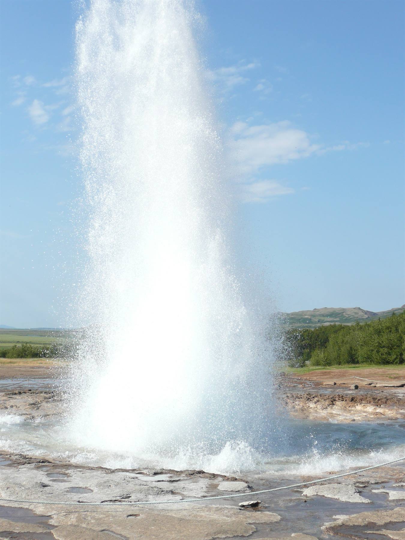
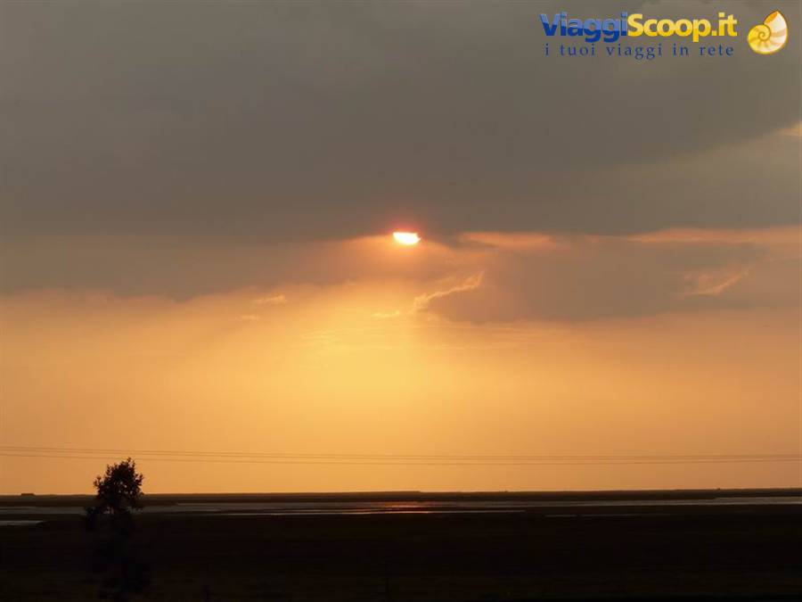
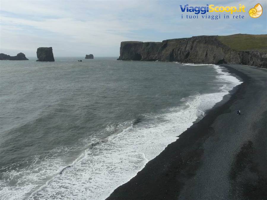
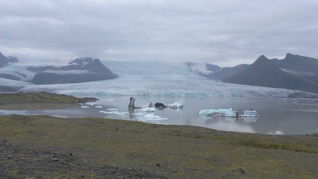
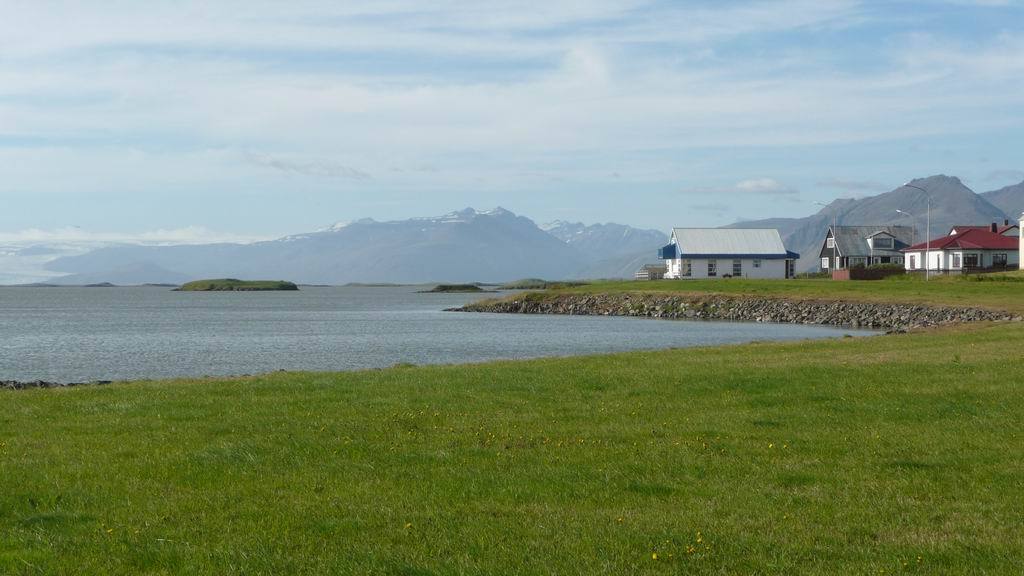
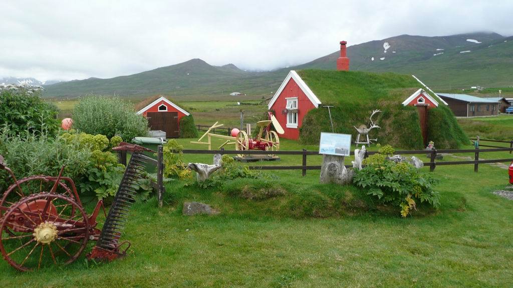
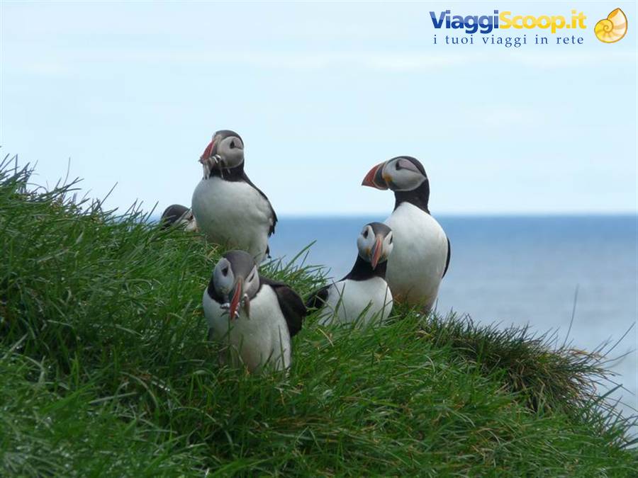
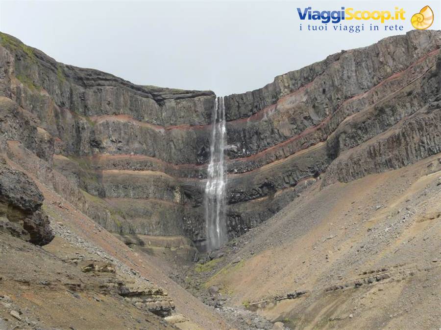
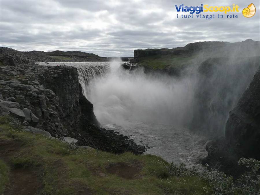
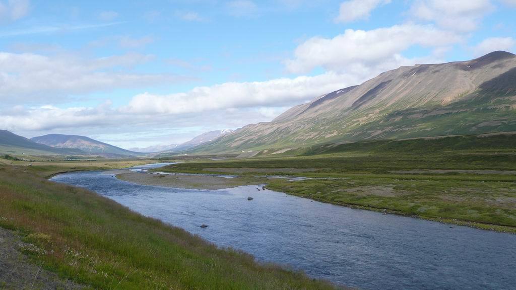
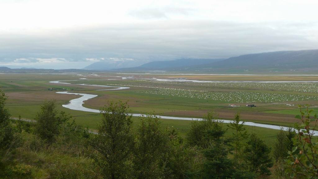
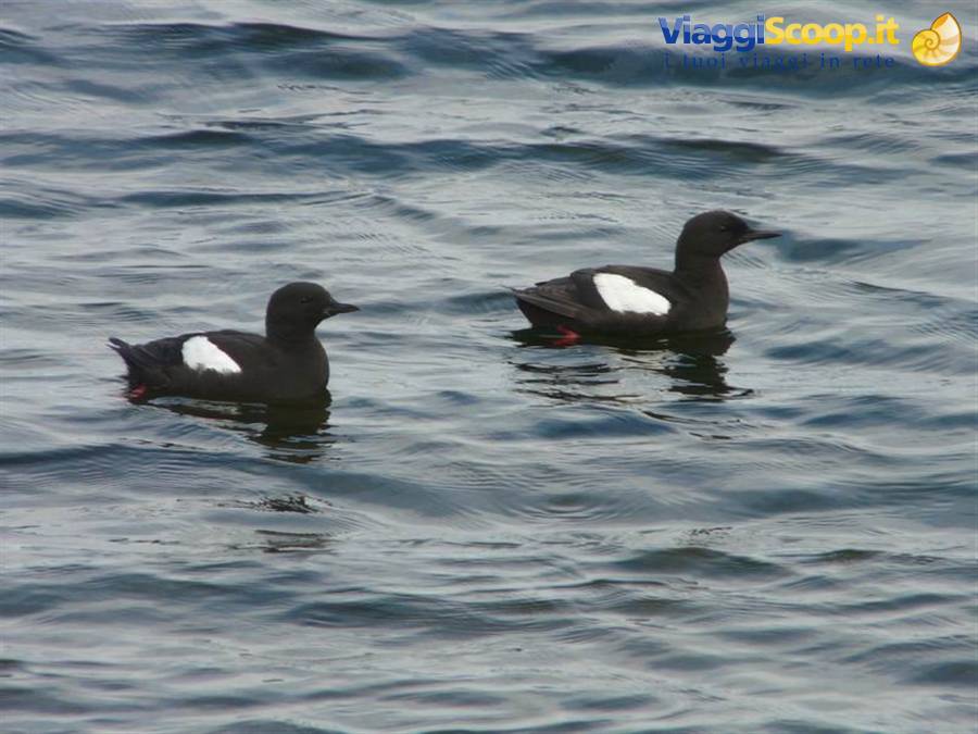
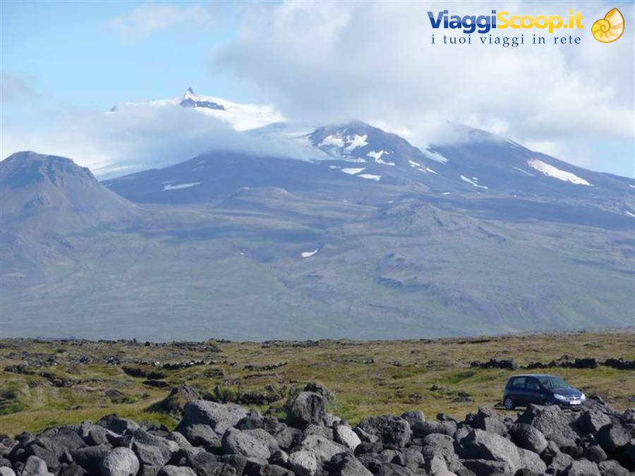
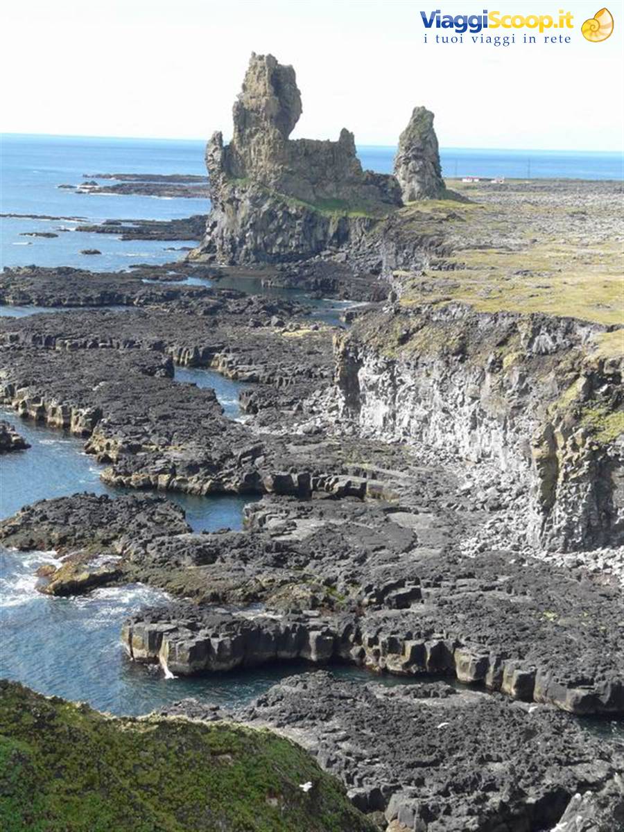
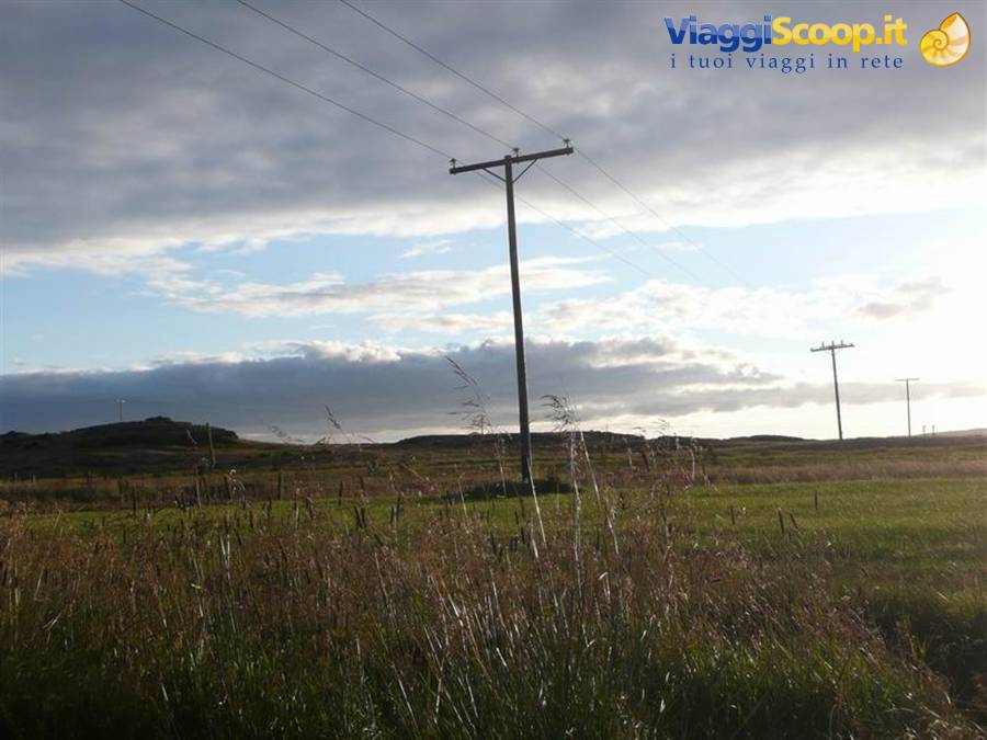
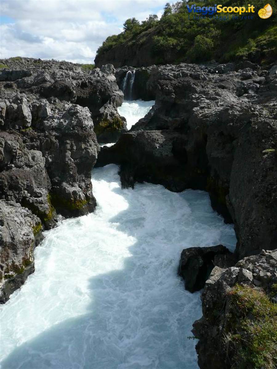
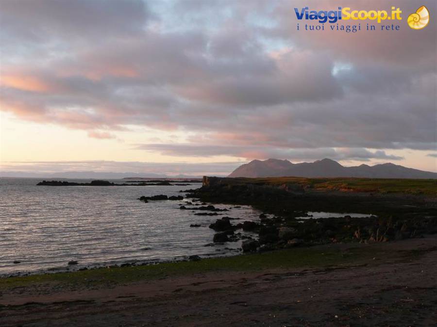
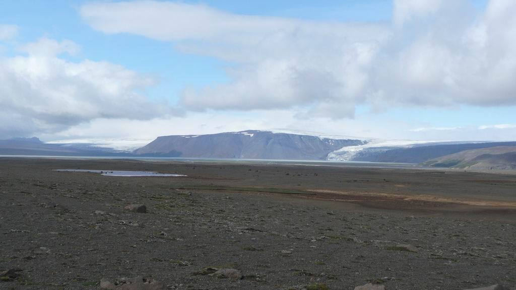
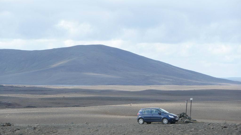
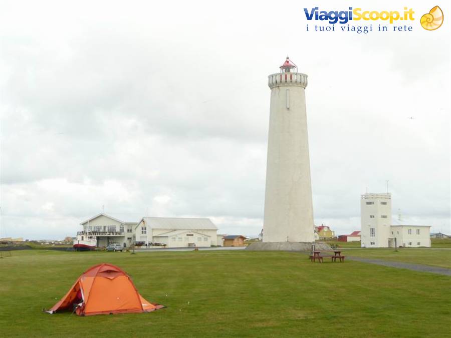
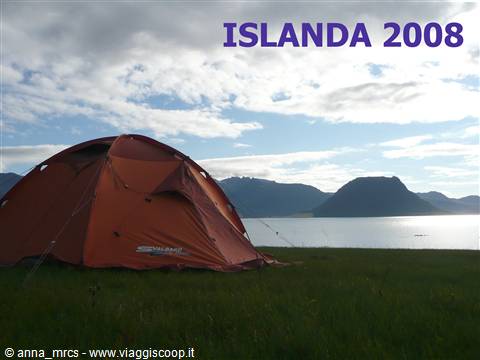
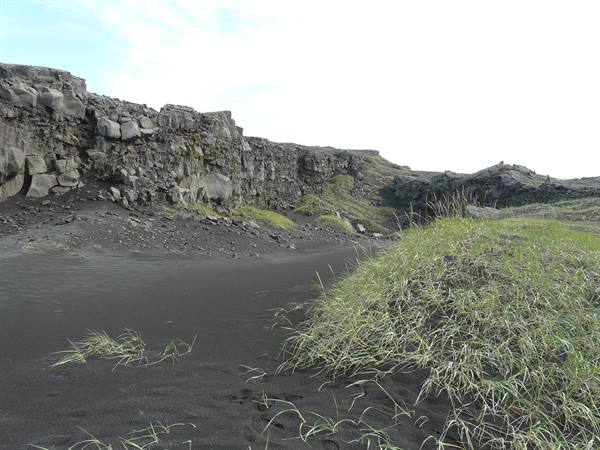
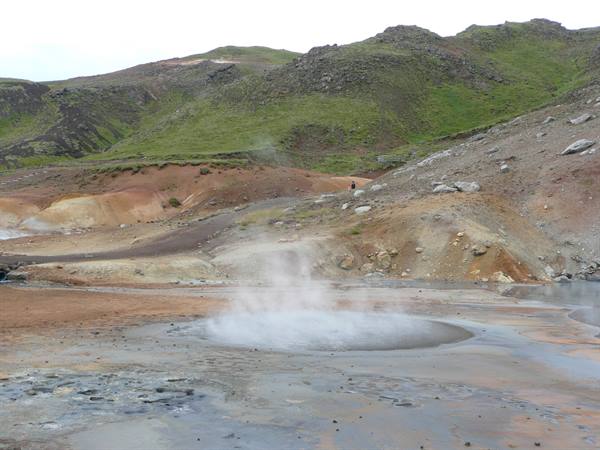
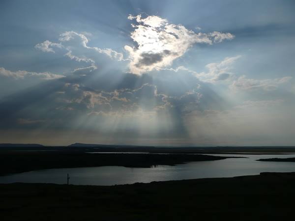
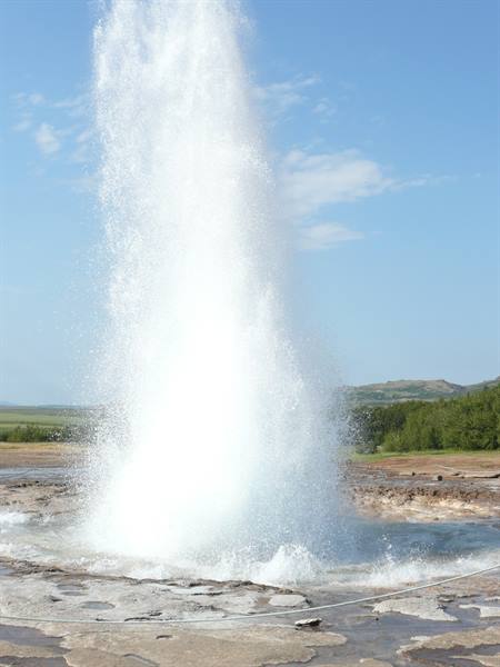
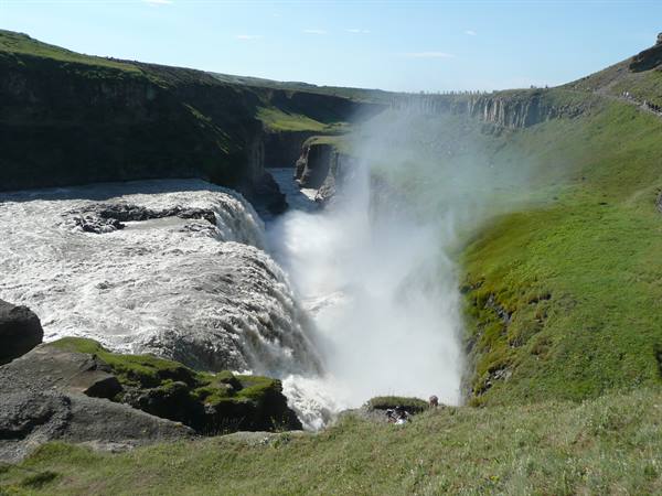
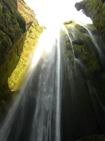
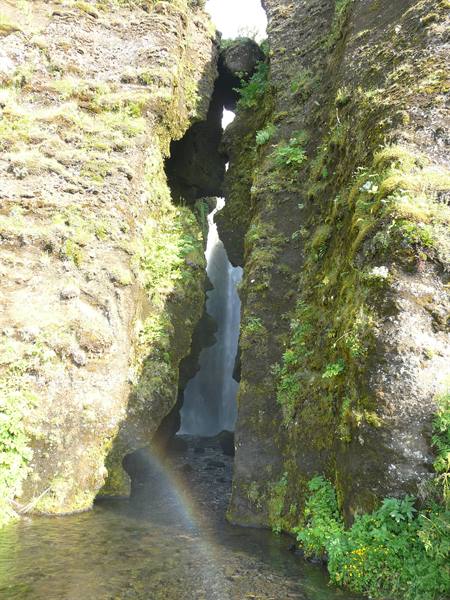
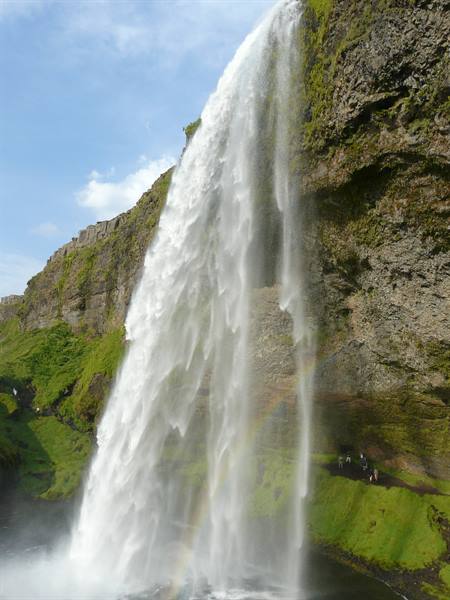
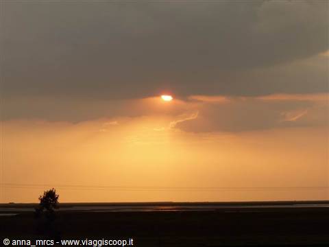
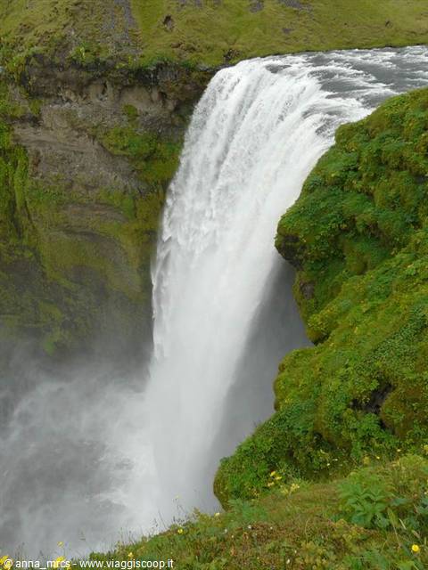
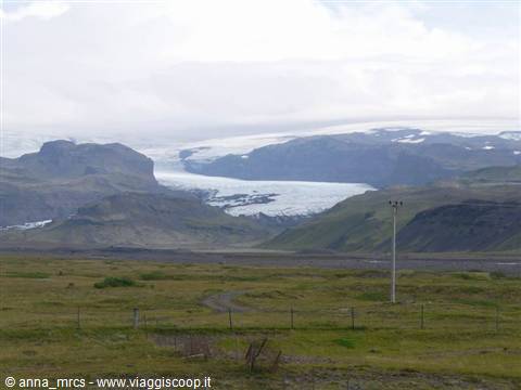
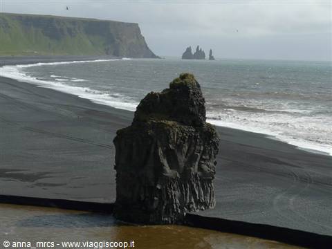
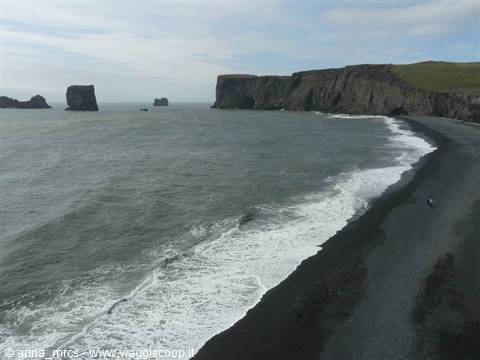
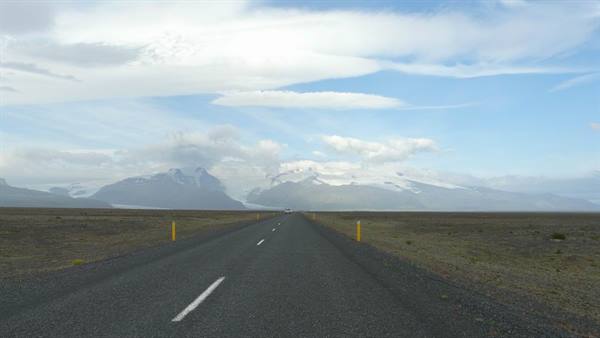
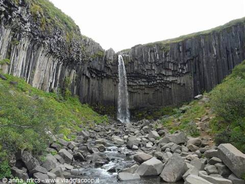
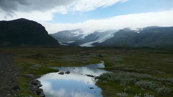
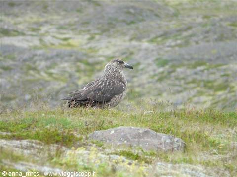
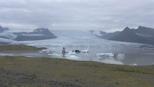
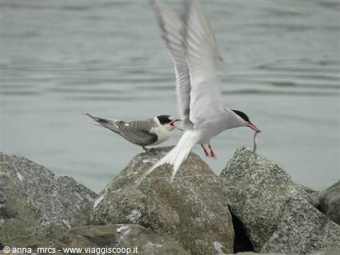
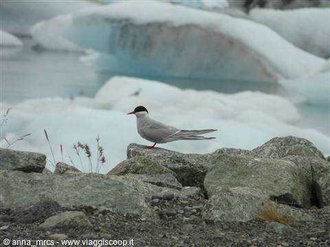
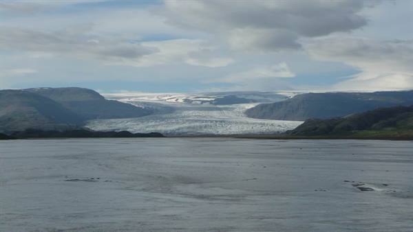
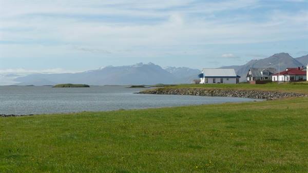
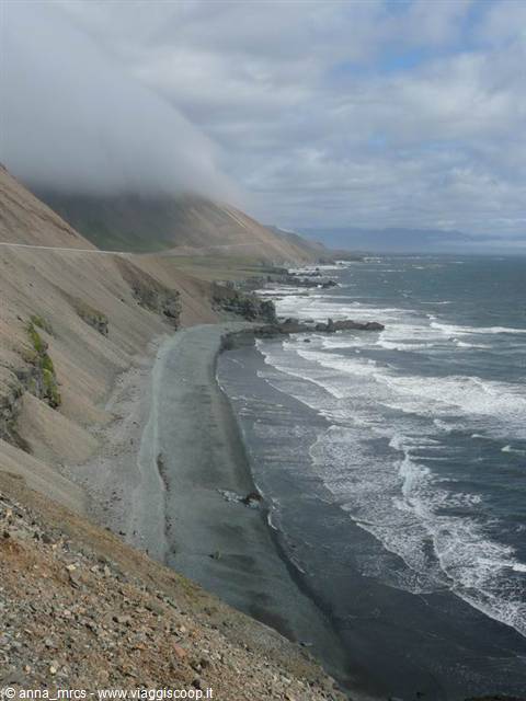
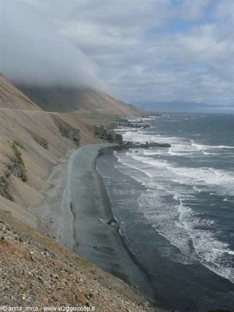
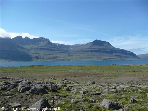
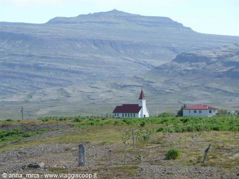
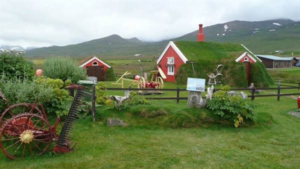
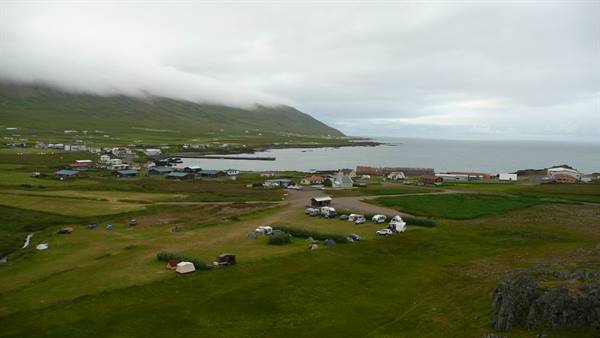
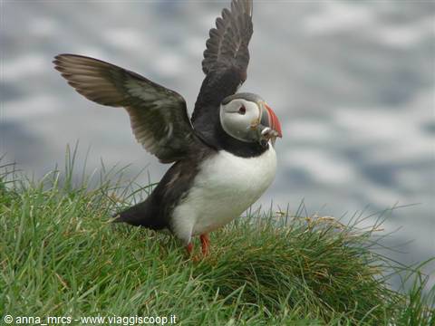
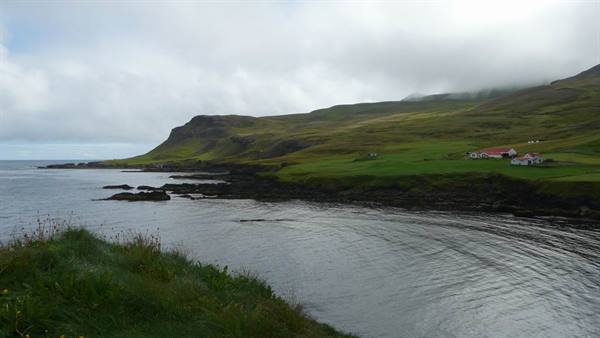
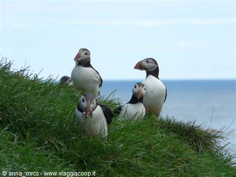
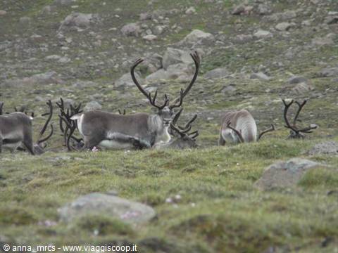
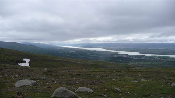
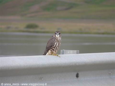
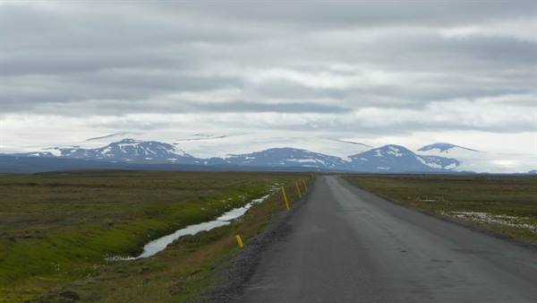
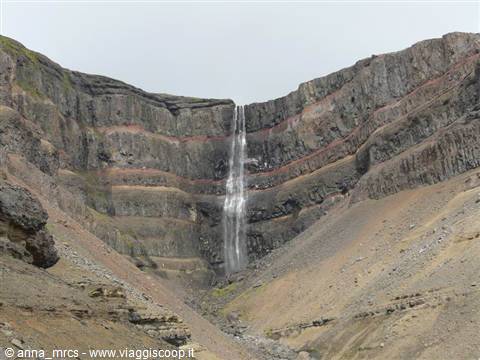
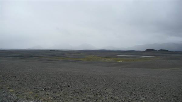
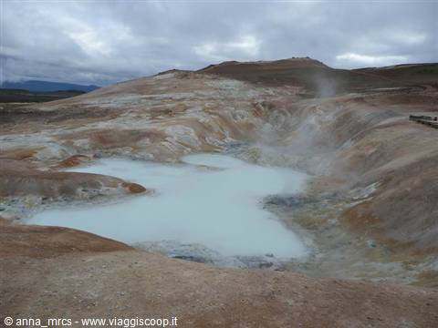
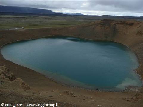
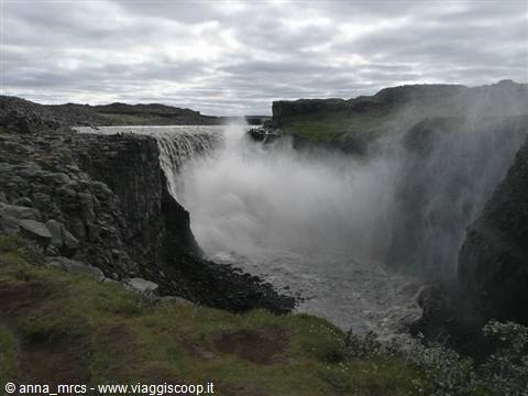
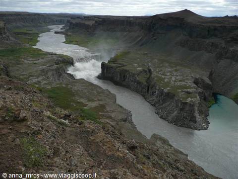
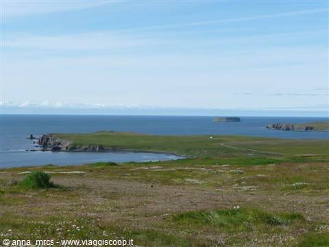
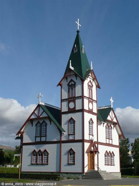
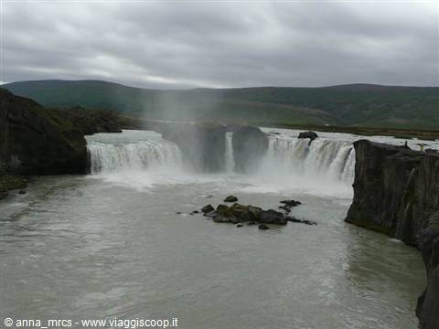
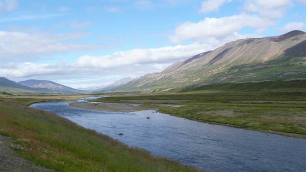
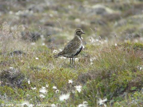
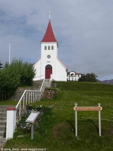
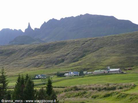
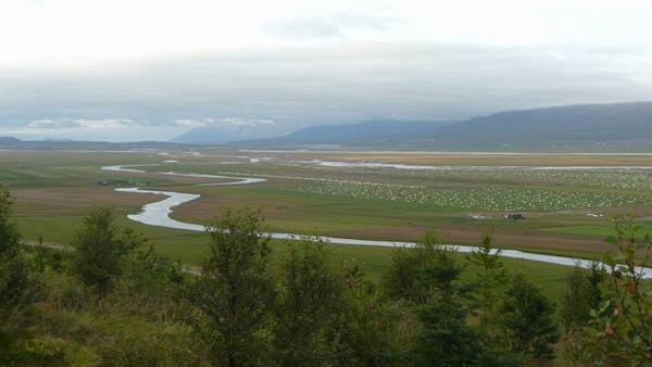
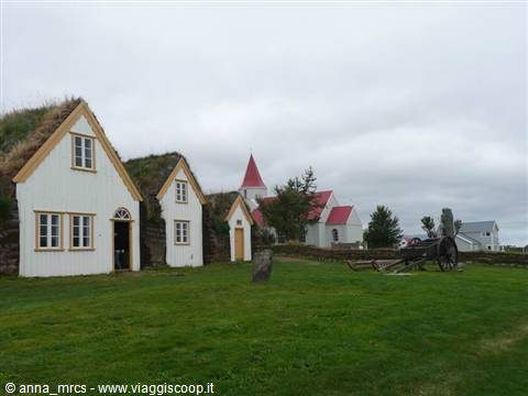
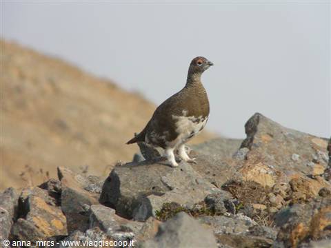
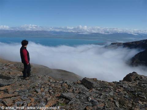
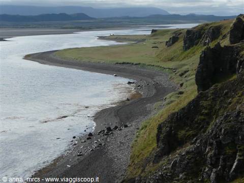
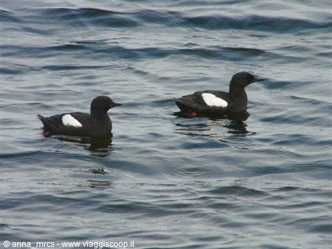
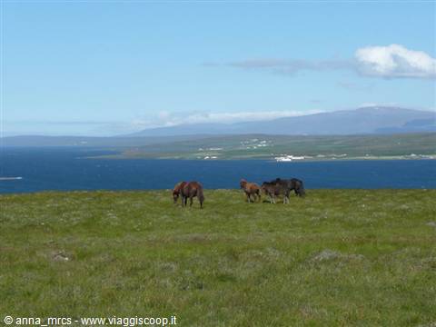
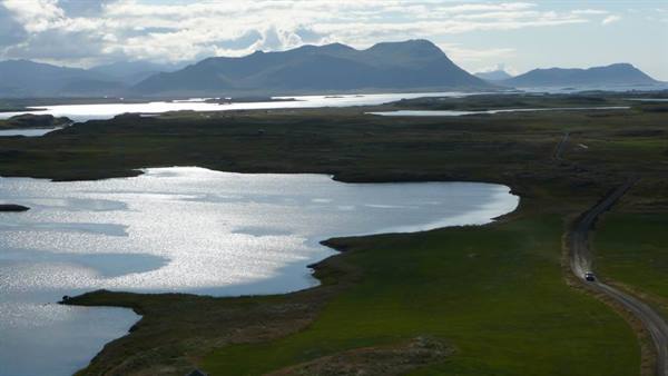
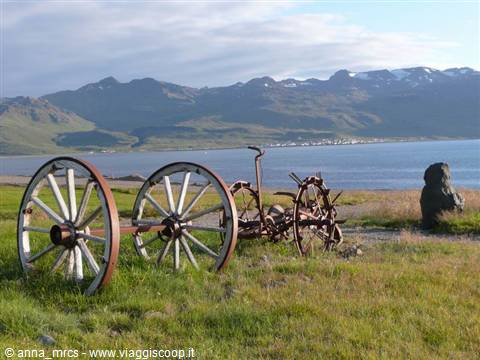
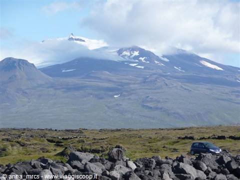
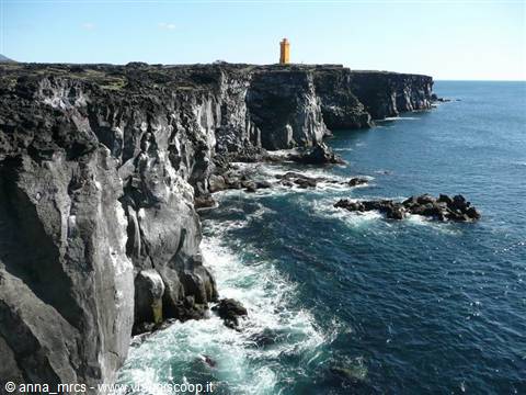
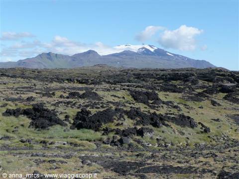
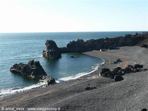
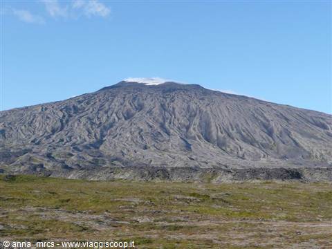
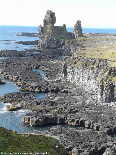
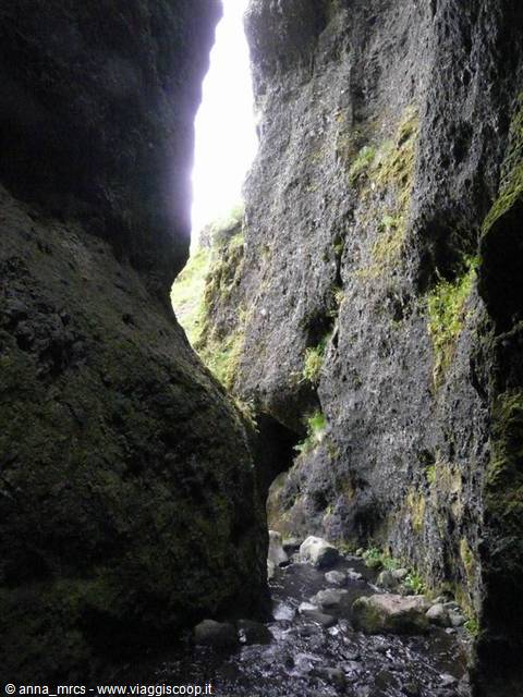
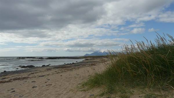
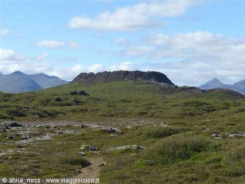
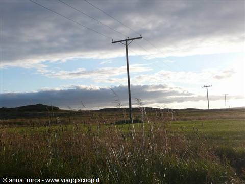
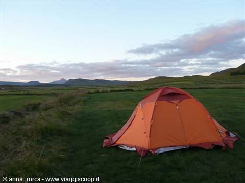
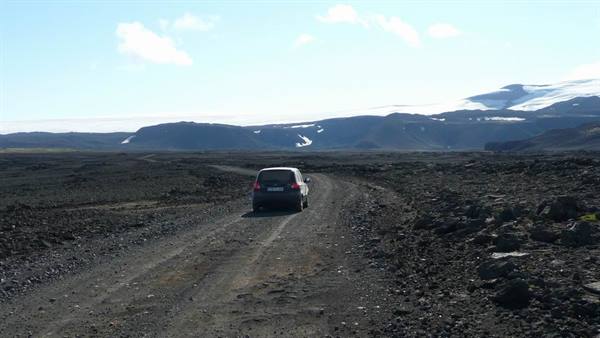
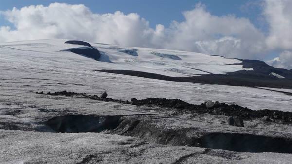
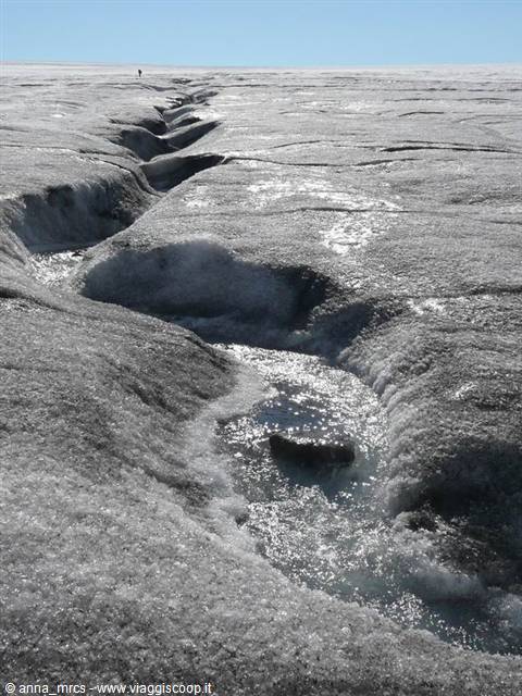
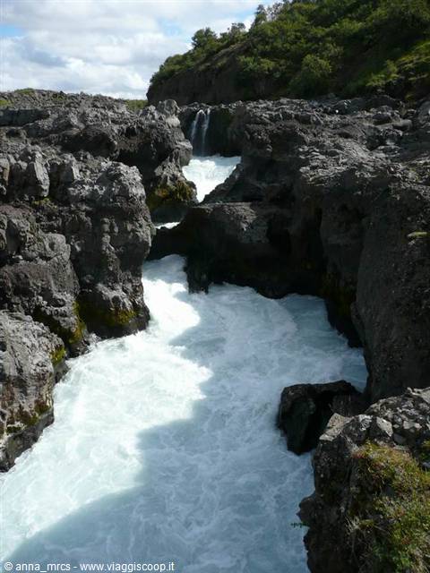
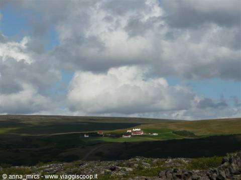
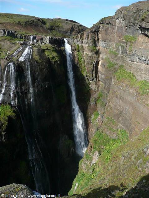
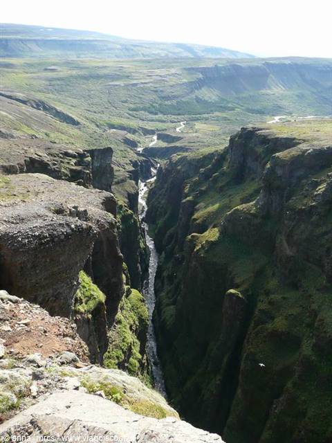
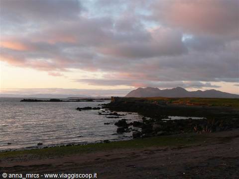
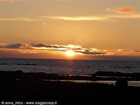
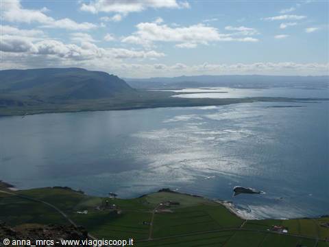
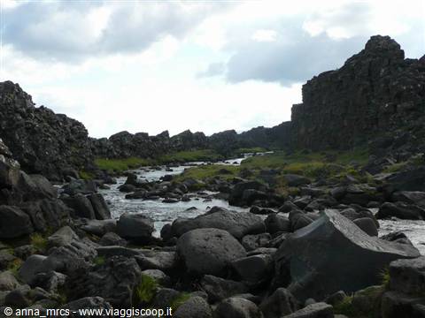
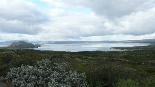
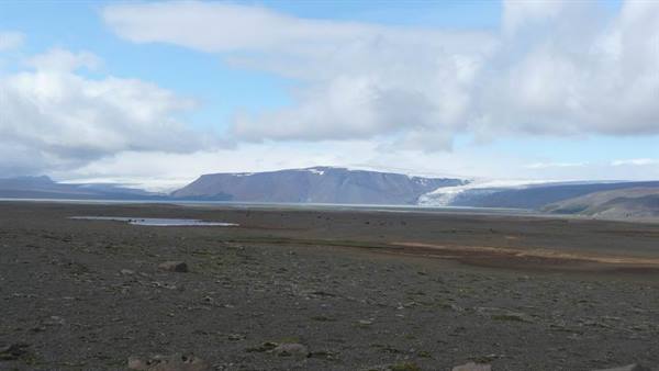
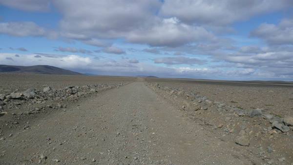
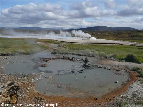
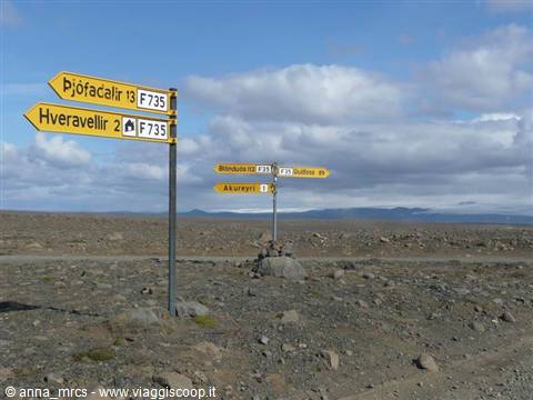
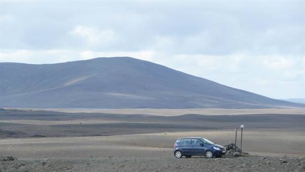
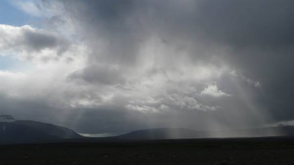
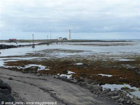
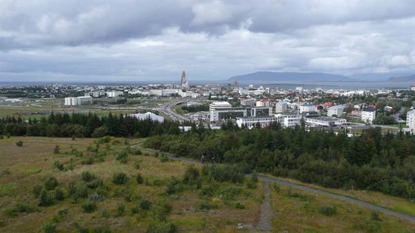
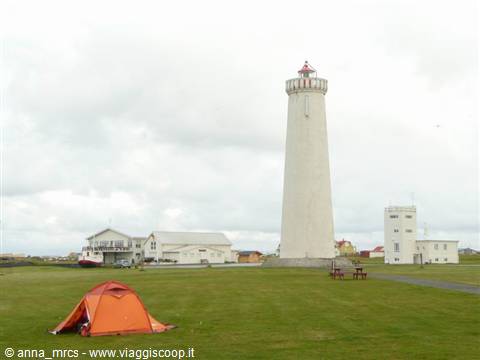
1 reader comments
Hai fatto delle foto bellissime complimenti. Inoltre, il tuo racconto è molto dettagiato, leggendolo sembra veramente di essere lì. Grazie, ce ne vorrebbero di turisti come te in questo sito.