A journey through Alaska with a "little escape" into the Canadian Yukon Text by Anna Marchisio (anna_mrcs@yahoo.it) Photos by Marco Giovo – Anna Marchisio
“The Last Frontier”, it says on the licence plates. And in a sense it is true! Alaska is a fascinating land, where the taste of the wild, the splendid mountain, arctic and sea landscapes with endless glaciers reign supreme. Alaska is much more than you can imagine and above all it is the place where the world with its traffic and its confusion seems to belong to another galaxy! As Peter Jenkins wrote, "Alaska is a place full of surprises. Many things I thought before going there turned out to be the opposite of what I expected!" [P. Jenkins – Alaska. Il paese dell'oro e dei ghiacci – 2003 Sperling & Kupfer Editori] Literature abounds with books, novels and more, that talk about the far north, about this corner of the world that fascinates and enchants you already from the pages of a book before you even set foot there, let alone once you are there!
Many of our friends called the choice of this destination "cold". Likewise the decision to make this trip with a tent was the subject of many objections: "But in Alaska it always rains" "It's cold" "You can't go camping, it rains" are just some of the doubts raised with us. But meanwhile we stuck to our position: in Alaska with a tent! And what of it... it's not as if it's the first time we've used a tent in rainy places. Rain it does.. there's no denying it, but the camping experience was part of this trip, of this way of living this country. Otherwise it wouldn't have been the same! The so-called state campgrounds, I can honestly say, are almost self-managed.
When you arrive you choose your pitch among the free ones, you fill in the little form and the envelope, taken at the entrance, you include the exact amount to pay, you seal the envelope carefully and drop it into a special iron box at the entrance. Et voilà.. registration is done, and payment too! All that's left is to pitch the tent! In terms of services, campgrounds range from those with only toilets (wc) and a water pump to those with hot showers (they work with 25-cent coins). Many campgrounds are located in areas of particular beauty and immersed in greenery and the most absolute nature. Each pitch then has its table with benches and the inevitable space for the evening fire. They rarely use it for barbecues; they use it in the evening to keep warm, almost more a ritual than a necessity.
In every campground you can read the rules of behaviour to avoid waking up in the morning with a bear instead of your husband in the sleeping bag next to you. In some there are metal containers placed here and there where you can leave food and anything else that might attract a little bear. Precisely to prevent the bear from opening these containers too, the openings are always ingenious. No wonder they then eat the tourists!! If they hide the biscuits from them!!!
In summer there are about 19 hours of daylight. It didn't take us long to get used to this luxury, to the idea of strolling around at 10 pm as if it were 7 pm or of not having to use our torches to read in the tent in the evening.
Once again we were welcomed by ordinary people with extreme kindness and helpfulness, proof that it is not right to judge a people by its politicians or by what the media feed us.
And for those who expect an America made of McDonald's and the like.. well.. Alaska is none of that.
GUIDES USED: Alaska – 3rd edition 2006 – Lonely Planet – English Ed. Western United States – 2nd edition 2004 - EDT Western Canada – 1st edition 1997 - EDT Hiking in Alaska – 2nd Ed. 2004 - AFalcon Guide – Morrison Book Publishing
BIBLIOGRAPHY Ann Mariah Cook – La mia Alaska – 2001 Edizioni Piemme Pocket Bob Drury – Una stagione da eroi – 2001 Corbaccio; Libby Riddles & Tim Jones – Ho vinto l'Alaska – 2003 Edizioni Piemme; Lynn Schooler – L'orso azzurro – 2002 TEA; Nicolas Vanire – La bambina delle nevi – 2003 TEA; Peter Jenkins – Alaska. Il paese dell'oro e dei ghiacci – 2003 Sperling & Kupfer Editori; Richard Leo – Fuga da Manhattan – 1998 EDT Sam Keith – One Man's wilderness – 2007 Alaska Northwest Books;
Day 122 Jul 2007
We land in Anchorage on a Sunday afternoon with a sky covered in clouds. We chose Anchorage as the starting point of our trip because, just as they say of Rome that "all roads lead to Rome", in Alaska they say that "all roads lead to Anchorage". The entry procedures are not the fastest. Between fingerprints, photographs, various questions and a meticulous check of every page and every stamp in the passport, time drags on and people are always in line. But in the end we find ourselves on the streets of Anchorage with our car. Anchorage is not the capital of Alaska as many people think. The capital is in fact Juneau, located further south, in the part of Alaska west of British Columbia in Canada. Anchorage, however, is the largest city in the state, both in terms of area and population.
It was only founded in 1915 when the Alaska Railroad established its headquarters in this area, and thanks to its strategic position with respect to communication routes—the railway, the roads and the sea, as it is in fact located at the head of Turnagain Arm and Knik Arm—it experienced rapid and swift growth. The city itself is nothing special; its downtown area that smacks of the Wild West, with its system made up entirely of one-way streets, is rather pleasant but nothing to write home about. Its position overlooking the waters of the ocean, at the foot of the Chugach Mountains, on the other hand, helps to increase the charm of this place.
Native people or direct descendants of Native Americans make up only 20% of the current population of Alaska. In Anchorage there is one of the most important cultural centres of Native Americans, the Alaska Native Heritage Centre. The native peoples belong mainly to three ethnic groups: the Indians, the Eskimos and the Aleuts. Often the term "natives" refers to the Indians and the term "Inuit" refers to the Eskimos, but this is not so obvious or correct in Alaska. The Alaska Native Heritage Center provides a cross-section of what these five peoples are like, with their cultures, traditions, languages and above all with their history.
When you talk about Alaska you can't help but think of dog sleds, obviously in winter! The Iditarod Trail Sled Dog Race is one of the most famous races in the world. It takes place every year in March from Anchorage to Nome, covering a route of about 1750 km with an average completion time of two weeks. For all that time the mushers have to fend for themselves with their dogs. About a third of the competitors don't make it to the end of the race. It's not that all those who dropped out were eaten by wolves along the way (the bears should be holed up somewhere in hibernation, having peaceful dreams) but the difficulties of the race and the extreme climatic conditions mean that this race cannot be described as a quiet little stroll in the fascinating, immense north.
In 1985, for the first time, the race was won by a woman: Libby Riddles [Libby Riddles & Tim Jones – Ho vinto l'Alaska – 2003 Edizioni Piemme].
Various interpretations have been made about the origin of the name, attributing it to the different meanings that the word Iditarod, or the word from which it is presumed to derive, takes on in different Indian idioms: distant, not far away. As for the origins of the race, the first was run in 1973 along the same route as the Iditarod Trail. In 1925 a terrible diphtheria epidemic struck the inhabitants of Nome. It was winter, and the weather conditions were such that neither planes nor ships could transport the medicine that was available in Anchorage. What to do? They used dogs and sleds, managing to complete the expedition and contain the epidemic. This episode also inspired the cartoon Balto, which every year the television systematically foists on us at Christmas.
Legend has it that Balto was the lead dog of the expedition led by Leonhard Seppala, while in reality it seems that this was not the case. For those who are not mushers there is always the Iditarod Invitational Trail, a quiet little stroll reserved each year for 50 people who, on foot, by bike (!?!?!?!) or on skis, cover the same route as the Iditarod Trail Sled Dog Race. What courage!
We leave Anchorage in the direction of Bird Creek, where we will spend the first night. For our first night in Alaska we booked a room in a motel—after such a long plane journey, about 11 hours, and fresh from our previous trip, where the luggage arrived three days late, we thought it was better to have a day of margin, you never know… even if only for superstition! The motel we chose is in Bird Creek, east of Anchorage, on the Steward Highway, one of the most scenic roads in Alaska.
Beaver
Day 223 Jul 2007
The Steward Highway is not only scenic, offering splendid views of Turnagain Arm, the mountains of Chugach State Park, the glaciers of Chugach National Forest and the Kenai Peninsula, but it also features particular points of interest, such as Potter Marsh: where a boardwalk path allows you to observe birds and salmon. The latter, in this season, begin to swim up the rivers to go and spawn. Or you can stop at Beluga Point and let your gaze wander into the immensity of the waters of Turnagain Arm in search of these cetaceans, or stop at Windy Point, where there's a good wind just as the name says, to observe the Dall goats, or Dall Sheep, licking the salt present on the rocky walls of the mountains that descend all the way to the road.
Girdwood, located 40 miles south of Anchorage, is one of the most important ski resorts in the area; there are many ski lifts and large hotels just a few steps from the slopes and these lifts. The town itself is small; we drive through it early one morning and, perhaps because of the hour, perhaps because of the slightly rainy weather, there is no one around. At a certain point, from a group of houses, a black bear emerges on our left. It calmly crosses the road and we see it pass in front of our car and then slip back between the houses and continue on its way. Beautiful! Fantastic! Alaska has the highest concentration of bears: black bears, brown bears and grizzlies, and we came here hoping to see some too! There are also polar bears, but for those you have to go much further north, and not in this season.
We are heading to Seward, in the Kenai Peninsula. Along the way we come across the Alaska Wildlife Conservation Centre, an organisation dedicated to the conservation of Alaska's wildlife. There are bison, muskoxen, moose with velvet antlers, deer, caribou, wapiti, coyotes, black bears and grizzlies. A black bear is sleeping on a tree while three grizzly cubs play in a pool of water.
Alaska Range along the Parks Highway
Day 323 Jul 2007
We had decided to start our itinerary from the Kenai Peninsula, but the disastrous weather forecasts, announcing rain for much of the week, make us change our plans, deciding to head north, where the forecasts are a little less pessimistic. Bad weather in Alaska, particularly on the coast, is not an unusual or exceptional fact, so you have to get used to it and take it philosophically. Meanwhile we head north, and it, the weather, can do whatever it wants!
Palmer, located about sixty kilometres north of Anchorage, is a rural town situated in one of the few areas of Alaska devoted to agriculture. It was founded during Roosevelt's presidency to deal with the Depression that had hit the rest of the nation. About 200 farming families moved to this area of Alaska, thus giving rise to a thriving farming community that, even today, cultivates these lands, covering part of the country's demand for agricultural products. The landscapes with cultivated fields, greenhouses and farms are characteristic of this area. We stop for the night in a quiet campground just outside the town centre. Finding it is not at all easy; in the town there are many roadworks in progress with the relevant roads closed, so finding an alternative route is not easy.
A sheriff, by now close to retirement, gives us a hand, kindly escorting us to the campground, since explaining the directions would not have been simple. The Matanuska River Camp is a quiet place. There are few RVs and few tents. The area for tent use is immersed in the woods: you can hear the birds singing, the chattering, if you can call it that, of the squirrels and lots of annoying little mosquitoes.
Along the Parks Highway towards Denali National Park
Day 425 Jul 2007
The weather still hasn't settled but at least it's not raining and every now and then you can glimpse some blue in the sky. We leave the main Highway to take the road that crosses the Talkeetna Mountains and will take us to Hatcher Pass. This itinerary is not very crowded and we often stop to admire and photograph these splendid mountain landscapes that stretch as far as the eye can see. One of the main attractions of this area is the Independence Mine State Historical Park. Opened in 1930, it was for many years the second-largest gold mine in the area. The mine was definitively closed in 1955. Today it is possible to visit the mine and what remains of the buildings from that era. Continuing towards Hatcher Pass, the road becomes unpaved and traffic is recommended only for cars. Along the road, from the guardrails, little marmot heads poke out.
It seems almost impossible; with all the space these likeable mammals have at their disposal, they stay along the road. Maybe they want a bit of company! Once we reach the top of the pass, we are greeted by a very strong and very cold wind. The clouds in the sky race along beautifully. What to do? We pack our backpacks and set off on a trail that starts a short distance from the pass and seems to lead to the top of a mountain. As you climb you come across some small lakes. The landscape is very beautiful and the walk pleasant. At the top some ground squirrels run among the rocks.
Back at our car we continue towards Willow. The road is all unpaved and in some places it's really not perfect. Along the way we stop for a moment to observe a small lake with some structures that indicate the presence of a beaver. And while I'm taking a few photos, a handsome beaver makes its appearance in the lake. And it wasn't alone! Beavers are usually more nocturnal than diurnal animals, but apparently the lodge needed urgent repairs, so the three beavers we saw busy with their work of searching for and moving branches didn't notice our presence on the shores of the lake! Fantastic!
We continue towards Talkeetna, where we had planned to spend the night, but since the campgrounds don't convince us we stop for dinner and then resume our journey towards Denali—after all, in Alaska it stays light until late, so… Talkeetna, the guidebook says, is exactly the kind of town people expect to see in Alaska. But what kind of town do people expect to see in Alaska? The city—the little town, perhaps, is better—is nothing special. A dusty main street, since the roads are all unpaved, a succession of shops and restaurants with an appearance frozen in the era of the gold rush. The grocery store has an interior that is a bit reminiscent of the Oleson mercantile from "Little House on the Prairie"! On the streets, a swarming crowd of tourists.
Talkeetna is the base for all expeditions to Mount McKinley, or in the Athabaskan language: Denali, which means "the highest", as it is in fact the highest mountain in North America (6744 m). Denali is a pyramid of rock, snow and ice that is very difficult to climb! Also from Talkeetna the vast majority of tourist aircraft take off, accompanying tourists every day—those who can afford it—to discover Denali National Park and of course also the mountaineers, since the approach is not done on foot, given the immense distances, but by plane directly to base camp. The first expedition that "earned" the summit in 1913 was the one led by Hudson Stuck, an archdeacon and great explorer of Alaska. Every year, in late spring, about 1000-1300 mountaineers try to conquer the summit of Denali.
If the weather conditions are favourable, about half of them will achieve the goal, while if the weather conditions are bad, the percentage of those who reach the summit drops below 40% and some of them will die. What a prospect!! In the cemetery, a memorial lists the names and ages of all the climbers who, chasing a dream, died attempting to climb Mount McKinley or the nearby peaks. A little outside the town there should be a stupendous view of Mount McKinley and the Alaska Range. There should be… because even today it really can't be called a lovely day of clear skies; on the contrary, it could be called a sad day of almost-rain. One must also admit that often and willingly the summit of McKinley is covered by clouds or fog, so we shouldn't get our hopes up too much about it.
We leave Talkeetna and its people to resume the road north. In the end we stop to sleep in a campground that is not a campground. In Trapper Creek there is a service station with its little shop, a lawn with a few picnic tables. While we pitch the tent I imagine the faces of our parents at the thought that we'll be sleeping on the lawn in front of the service station, but after all, what are we missing in this place? Nothing… inside the service station there are even hot showers… what more could you want… Even though it's next to a Highway, the traffic is practically non-existent and with the arrival of darkness it seems to stop completely. During the night I hear an animal moving outside the tent, I hear it eating the grass, grazing and every now and then moving around.
It shouldn't be a bear, I tell myself! After all, this is the second night I've spent in a tent in Alaska and I still haven't got used to the idea that bears roam around outside as if it were nothing. Now, though, I find myself thinking back on these moments with a lot of nostalgia.
Haines
Day 526 Jul 2007
We resume our journey north: towards Denali National Park. The sky is not yet completely clear, the clouds come and go and there are good hopes of seeing the mountains of the Alaska Range and above all the summit of Mount McKinley. Along the road there are many viewpoints, in particular two of these allow you to admire, even if from a distance, the immensity of this mountain and the range it belongs to. We stop for a long time at the first of these two viewpoints, but it was worth it, because the clouds lifted and McKinley stood in all its majesty before us! Beautiful! So we set off again, satisfied, on the road towards Denali National Park. While the car speeds along the road, unique landscapes pass by beside us: expanses of forests, rivers, lakes and mountains as far as the eye can see; a world that never stops fascinating and enchanting.
Before reaching Denali National Park you come across Denali State Park, which offers countless opportunities for trekking, canoeing, and exploring a bit of this wild world while enjoying the splendid views of McKinley. We stop often and willingly too, but time passes and our destination for today awaits us.
Denali National Park is a huge expanse of subarctic land with, at its centre, as already mentioned, the highest mountain in North America: Mount McKinley. But it's not only the splendid wild landscapes—and it must be said that there are no villages inside the park—that make this park great, but also the countless species of animals that live within it: marmots, moose, caribou, foxes, bald eagles, Dall Sheep, grizzlies and black bears. Every year more than 400,000 visitors venture into this park, and to think that in 1922 there were a total of 7 visitors! In those years only the most daring and adventurous tourists could afford to venture into Denali National Park and Preserve. In all this immensity there is a single 147-kilometre road that crosses the park. A bit like saying: a drop in the ocean. The road, built between 1922 and 1938, cannot be travelled with private cars.
Well, there is actually a sort of lottery whereby the lucky winner of this lottery is authorised to travel this road with their own car. In short, one of those somewhat too-American solutions. For all those who didn't participate in the lottery or who took part but weren't drawn, it's possible to use the countless shuttle buses that travel this road every day.
Having arrived at the entrance to Denali National Park, we find ourselves among many tourists and a lot of confusion. We're almost no longer used to it. Cars looking for parking, tourists wandering around and crossing without looking, people who don't quite know where to go, in short, people of all kinds. We make sure to go straight to the Wilderness Access Centre. Although it was recommended everywhere to book in advance, both the overnight stay and the visit to the park, we have done neither. We manage to book the excursion by bus in the park for the following day, and for the tent there's no problem, there are still quite a few free spots in Riley Camp. Having pitched our tent on a spot that suits us, in this immense campground, we go on foot to the park's visitor centre.
It seems like a small city: there's the campground, the general store, the visitor centre, a restaurant (which however closes rather early in the evening… hmm…), the railway station—of course, the Alaska Railroad passes through here—and even the post office. But in Alaska there are post offices even in the most remote areas; someone in Italy should take note instead of always centralising in the cities! A system of trails connects the various park services, thus saving tourists from having to walk along the paved road where the traffic is rather heavy. Once we've had dinner we choose to return to the campground by one of these trails; first we take the Meadow View Trail where we come across a few enthusiastic evening joggers, then we end up on the final stretch of the Roadside Trail and take the McKinley Station Trail to return to the campground.
Walking with the silence and peace of the evening along these trails is quite pleasant; every now and then a little squirrel darts quickly from one tree to another. But the surprises aren't over… a short distance from the campground we come across, on the trail, a mother moose with her two calves. We stand watching each other, almost as if to decide who among us will have to give way… but then mother moose decides to leave the trail and enter the woods, followed by her calves. The little ones' legs sometimes seem unable to support them and remind you of a puppet's or of Santa's reindeer.
Gyrfalcon
Day 627 Jul 2007
The following day, in good time, we make sure to be at the bus stop at 7.00. This way we get to see the other people with whom we'll share this journey. There's an assortment of people and clothing that makes you smile. There's even the lady who has brought her pillow from home, and the one who worked on some kind of crochet for most of the journey, or the one with the visor cap borrowed from a Las Vegas casino. The bus leaves and the driver, a woman, tells us a bit about the park. In theory this is only a passenger transport, a sort of shuttle. The bus makes a series of stops; if you want, you can get off and take the later buses, both going and coming back. The problem is that the buses are always full and you've only reserved a seat on the one you booked. There's no standing room allowed, so the bus only lets you on if there's a seat on board.
In any case the bus makes longer stops at some points and halts during the journey for spotting or photographing animals. We would have preferred to be able to visit the park on our own, but we didn't enter the lottery… so… The day isn't one of the best; on the contrary… it's rather cold and the sky is grey. 147 kilometres is a lot, and the landscape changes continuously: forest, tundra, prairie, glaciers. McKinley is not visible from everywhere in the park, but only from a few points; for the record, the main entrance is not among them.
Wonder Lake, the terminus of the bus, is so called because McKinley is reflected in its waters, a rather rare event, partly because of the usual fog that hides the peak and partly because the weather is never very cooperative! The bus stops just long enough to take a few steps along the shores of the lake and have a snack for lunch; it's a shame, the place would deserve a more thorough visit. If the weather has somewhat spoiled the splendour of the landscapes we saw, so to speak, it has contributed to making this journey unique from a wildlife point of view. Not only foxes, caribou, eagles but finally also some grizzlies! Denali is one of the parks with the highest number of grizzlies in its territory. Physically they are slightly smaller than their relatives living on the coast, and this seems to be due to their different diet.
Those on the coast gorge themselves on salmon and other fish, while these mainly eat small mammals and plants. But let's get back to our first grizzly… we saw it from a distance, the bus stopped, people pulled out cameras and binoculars. Little by little it came closer. A bush attracts its attention, it circles around it, pokes its snout inside, rummages with its paw and then starts jumping on top of it. It's an enormous brown grizzly bear, the bush is flattened, a terrified little ground squirrel literally shoots from that bush to another. The bear sees it and chases it. Another bush, the same little squirrel to be flushed out, the harsh law of nature. The bear looks for it, rummages but the squirrel is once again faster and, unseen, escapes like a missile running far from the bush. The grizzly doesn't notice, it looks for it but can't find it.
It rummages in the bush, stands up straight on two legs, circles around it, but its prey has escaped. In the end, disconsolate, it resumes its way. Its paws, its snout, its way of moving, its being a hunter, its world! Just for these instants, for these moments, the journey here was worth it. We will encounter other grizzlies, two cubs chasing each other and a solitary bear taking a walk. The whole journey, round trip, lasts about 11 hours, most of it spent on this bus which really can't be called comfortable, considering also that the road is all unpaved.
In addition to Wonder Lake and a few "technical" stops, there are scheduled stops at the Polychrome Overlook, from where you get a nice view of the valley and the mountains and, if you're a bit lucky, you can see the mountain goats grazing on the slopes of the mountains beyond the valley; and near the Tiklat River where there is also a small visitor centre with a few trophies and pelts on display. And so another day has come to an end.
Kluane Lake - Yukon (Canada)
Day 728 Jul 2007
Today we would have liked to hike the Mt Healy Overlook Trail, but unfortunately, at the park information office, they told us that the trail is closed due to some problems with a bear that hangs around in that area. When we asked if there was another similar trail, the ranger replied that there were no others, but that we could choose another peak and make our own route. I was a bit perplexed… if I can't walk a marked trail because there are problems with a bear, what makes him think that the route I make up won't pass right on another bear's toes? For the moment we decide to abandon the intention of playing little explorers and to resume our journey towards the Canadian Yukon.
The Denali Highway is an unpaved road, 216 kilometres long, that connects Cantwell Junction on the Parks Highway to Paxson on the Richardson Highway. This allows us to move from west to east amid splendid mountain ranges that offer spectacular panoramas: the Alaska Range, the Talkeetna Mountains and the Wrangell Mountains. A brochure, distributed free of charge at the entrance to the road, describes its points of interest. The most spectacular part of the road is certainly the easternmost one; the views of the Alaska Range are unique, whether because the weather in this area seems to be better, or because these wild landscapes enchant and fascinate us. The glaciers of the Alaska Range, the Susitna, or the West Fork, the peaks of McGinnis (3420 m), Moffit (3906 m), Mount Hayes (4150 m) and others are immortalised by our cameras.
And on truly clear days you can even see the Wrangell Mountains. Travelling along this road we encounter very few cars, no motorhomes, but this was predictable; the unpaved roads of Alaska are not the stuff of these enormous wandering houses—or rather, not for their wheels. We stop for lunch in a rest area, in perfect solitude, amid an enormous green expanse of meadows that, with the wind and the blue sky, remind me so much of the Tuscan countryside. There are trails and tracks branching off from the main road; what a shame not to know the area, what a shame not to have more information—who knows what remote and fascinating places these tracks lead to.
The charm of the wild, of the remote, strikes us too, and what has always fascinated us and never ceases to amaze us about this land are all these open spaces, distant, immense, and to think that in a certain sense they are unreachable, unapproachable. Feeling small in the face of so much grandeur.
About 25 km from Paxson you cross an area called the Tangle Lakes Archaeological District. In this area many finds have been discovered that show that more than 10,000 years ago this area was inhabited. Once on the Richardson Highway we take it heading north. For a long time the enormous serpent of the pipeline keeps us company. This is the Trans-Alaska Pipeline Terminal, a pipeline that crosses the whole country from north to south, from Prudhoe Bay to Valdez, transporting about one million barrels of crude oil a day, thus covering 15% of the United States' needs. It was built in 1975. Along the road there are even points of interest where a series of panels describes this example of modernity as if it were a monument. Well, of course… a monument to progress and the exploitation of the earth's resources.
Since 2001 it has been considered a sensitive target for terrorism; in fact, until then it was possible to visit the final part of this pipeline at Valdez; since that tragic date no visitors have been allowed. In 1978, not far from Fairbanks, someone caused damage with explosives that released about 670,000 gallons of crude oil from the pipeline. In 2001 an alcoholic shot at it with a rifle, causing more crude oil to leak out. In Valdez, in 1989, an accident caused a real environmental disaster. 11 million gallons of crude oil poured into the waters of Prince William Sound, damaging 2240 km of coastline, killing seabirds, sea lions, sea otters, bald eagles and millions of salmon and fish. Quite an ecological disaster!!!
Today's stop ends at Delta Junction, where we find a supermarket that sells rusks for breakfast, just like the ones sold in Italy! Hooray! We no longer have to spread jam on this sub-species of synthetic bread! At the supermarket we are stopped by a gentleman of Eastern European origin. Hearing us speak, he recognised that we were from Europe. He tells us, in broken English almost as bad as ours, that he has lived in Alaska for years with his wife. Delta Junction, like many other towns in Alaska and nearby Yukon, owes its "birth", at the beginning of the 1900s, to the gold rush. In 1923, 23 bison from Montana were reintroduced. The last, so to speak, indigenous bison died about 500 years earlier. Currently there are about 500 animals in the area; for this reason Delta Junction is also known as Buffalo Centre.
Along Nabesna Road - Wrangell St Elias National Park
Day 829 Jul 2007
Today we have quite a bit of road ahead of us. We will cross the border with Canada and thus enter the Yukon, moving the clock forward by an hour. We immediately take the Alaska Highway: the only paved road that connects Alaska with Canada, from Delta Junction to Watson Lake: 2450 kilometres of paved road. It was built in 1942 in just eight months, defying not only the difficulties of the era in accomplishing such an undertaking but above all the difficult climatic conditions of the place. Thousands of American and Canadian soldiers worked on it, as well as many native people. Unlike other roads in America, the Alaska Highway is not the usual straight line.
Many hypotheses have been made as to why there are so many curves; some say that the curves served to prevent Japanese pilots from using the road as a landing strip—after all, the Second World War was ongoing—or others claim that the tight construction deadlines prevented the evaluation and selection of better routes. Even the choice of name was not easy; now its name is Alaska Highway but for many it remains Alcan, short for Alaska-Canadian Highway. The road is not particularly busy; we had imagined much heavier traffic. We come across a few motorhomes, quite a few trucks and some cars. The road is all paved even if the road surface is not the best and in some places, due to roadworks, some stretches are unpaved. These, unfortunately, are the effects of freeze and thaw and of what is called permafrost, typical of these areas.
Crossing the border with Canada created no problems for us. A female customs officer welcomes us to the Yukon and wishes us a good trip. Every now and then we stop to admire some landscape, to photograph a lake, an animal, to enjoy these landscapes and this immensity. For reasons of time our visit to the Yukon will be limited to very little, just Kluane National Park. But this immense region, about a third the size of Alaska, deserves to be known more thoroughly… it will have to be for another time. It is not just an arid Arctic tundra, as one usually thinks when imagining the far north of this continent, but a land rich in mountains, forests and plenty of wildlife. Together with the Northwest Territories, both having a low population density, they do not have full legitimacy in parliament like the other Canadian provinces.
The region lives, besides tourism, mainly thanks to gold, lead and zinc mines. The Klondike, with everything it represented for the gold rush, is a reality here. Not only because of the architecture of some buildings but also because of the museums and everything that remains as a memory of an era now long gone. The capital of the Yukon is Whitehorse, which however we will not visit. Just out of curiosity, in February the Yukon Quest International Sled Dog Race takes place, another dog sled race that is said to be one of the toughest and most demanding. About 1,600 km are covered in about fifteen days on a route that goes from Whitehorse (Yukon) to Fairbanks (Alaska).
The road runs for a long time alongside the immense Lake Kluane, the largest lake in the Yukon. If I'm honest, I was expecting not only much more traffic on this road but also many more services; instead it is in perfect harmony with the rest of the two countries: kilometres and kilometres of nothing. The first town we come across is Haines Junction, where we decide to stop for the night. The small town is also an excellent base for visiting the nearby Kluane National Park, which however we will visit on the way back.
With the construction of the Alaska Highway in 1942, so to speak, the modern history of Haines Junction, located along this road, begins. In the years after 1942, the road along the Chilkat Pass was built, thus connecting Haines (AK) to Haines Junction on what was known as the Dalton Trail, that is, a route that a certain Jack Dalton, in 1897, had traced based on ancient Indian routes to connect Haines to the Klondike goldfields. Originally, before the construction of the road that therefore decreed the official birth of Haines Junction, there was an Indian settlement known by the name of Dakwakada. A brochure, distributed free of charge, traces a bit of the history of the buildings present in the town, recommending a pleasant walking route.
The next day we take the road towards Haines. But right away we make a first stop at Kathleen Lake. It is a lake of glacial origin surrounded by mountains. The highest point of the road is the Chilkat Pass; the landscape around us is almost strange, it changes continuously and quickly. The trees have given way to this extraordinary mountain landscape. The road is not at all busy, and more than once, travelling along these almost deserted main roads, we asked ourselves where the other tourists were, where all the people described in guides and brochures were.
But all in all… better this way… As the road descends from the pass towards Haines, the mountains take on the green of the trees and the white of the glaciers; this is a region very rich in glaciers, and what you can see travelling along this road is only the smallest part of what this area has to offer; suffice it to mention the not-too-distant Glacier National Park, an immense expanse of ice.
Wrangell Mountain - Wrangell St Elias National Park
Day 930 Jul 2007
Heading towards Haines you come across the Bald Eagle Preserve, founded in June 1982 with the aim of protecting the largest concentration of bald eagles and the delicate ecosystem of their habitat. The preserve consists of about 48,000 acres of land around the Chilkat, Kleheni and Tsirku rivers. In this area there is the highest concentration of eagles, particularly during late autumn and winter when there is also a significant concentration of salmon. As is well known, salmon begin, in summer, to swim up the rivers to lay—the females—and fertilise—the males—the eggs. Their run continues until the beginning of winter. After all this effort the salmon die, thus becoming food for the eagles. The combination of the open spaces typical of this area and this abundance of fish means that in Haines there is a very high concentration of eagles, making this area unique.
Between the 28th and 33rd kilometre of the Haines Highway it is possible to see this delicate environment.
Haines is a quiet little town situated at the end of one of the longest fjords in North America. It is a pleasant, distinctive place. Haines is surrounded by mountains and the sea; some of these mountains are covered by glaciers that reach down to lose themselves in the waters of the sea. The first, apart from the native Tlingit, to settle in the area were a couple of missionaries accompanied by a naturalist in 1879, thus beginning the history of this town. In 1902 the first permanent military outpost in Alaska was established: "Fort William H. Steward", where there is now a Native art centre.
Before arriving at Haines you come across the junction for the nearby village of Klukwan. This place, full of charm and history, still preserves many memories of the past and keeps the culture of the Indians alive.
After a quick tour of the town we go to see the Chilkoot Lake area, where there is also a campground. In the centre of Haines there are two campgrounds, one only for motorhomes and the other also for tents, but we've got a bit too used to having our own space and our own quiet, so this campground, a bit too similar to ours, with people almost piled on top of each other, didn't convince us at all. The Chilkoot Lake area is very crowded. The river that flows out of the lake is one long succession of fishermen. I suspect there are more fishermen than salmon along the banks of this river. As we head back, a brown bear pops out at the edge of the road, but immediately, disturbed by all the cars, it flees into the woods. Instead we choose the Chilkat State Park campground. It's a bit out of the way and precisely for that reason it appeals to us.
Completely immersed in greenery and woods, it is a corner of peace and silence. There are very few people; it must be said that to get there you have to travel an unpaved road with a steep descent… motorhomes can't manage it!!! The park overlooks the waters of the fjord; there are beautiful views of the fjord and of the Davidson and Rainbow Glaciers. Some notices urge you to be especially careful because there are bears roaming in the area. Although I've already got used to this kind of notice, when darkness falls, when I have to walk a hundred metres alone to go to the bathroom… well… at the slightest noise I strained my eyes. You never know…
Columbia Glacier - Prince William Sound
Day 1031 Jul 2007
For the following day we had chosen Mount Ripinsky, a nice hike that would take us to the top of one of the mountains overlooking Haines, from where you could enjoy a splendid view of the surrounding mountains, the channels and you would even see Skagway; that's what the guidebook said. But as soon as we wake up, we realise that the fog is low and a large part of Mount Ripinsky is hiding in the mist. So we fall back on the Mount Riley Trail, a quiet walk that takes us to the top of Mount Riley, whose views from the summit are still very beautiful. Of course the mountain peaks are hidden by the fog, but overall the panorama is not bad at all. For most of the time the trail crosses a dense forest. There are very tall trees and plants that seem to come from a tropical forest with enormous green leaves. Almost at the summit the landscape changes; the trees and forest give way to low shrubs.
Sitting on a boulder we enjoy our lunch.
Before definitively leaving this place we stop at the American Bald Eagle Foundation. The founder welcomes us, a kind gentleman who tells us a bit about this museum, the film they show and the many eagles that arrive in this area in winter. The film is interesting, and allows us to discover that in Juneau there is a rehabilitation centre for these animals; the autumn footage of Haines with millions of
Seals - Prince William Sound
Day 111 Aug 2007
The UN declared Kluane National Park, founded in 1943, a World Heritage Site. It is an immense wilderness area (about 22,000 sq km), partly inaccessible, which together with the neighboring Wrangell-St-Elias National Park of Alaska forms one of the largest protected areas of the North American continent. Inside the park you can see the largest non-polar ice fields in the world, dating back to the first ice age. But even though the park is predominantly covered in ice, there are also mountains, valleys, alpine lakes, forests and expanses of prairie and tundra and lots and lots of wildlife. Moose, Dall sheep (Dall Sheep), Rocky Mountain goats (mountain goat), bears, wolves, peregrine falcons, sea eagles are just examples of the fauna that populates this immense park. Its name, Kluane, in the Tutchone language means 'many fish'.
Today the Tutchone natives try to keep their traditions alive and to preserve their culture. The mountains that form this park and that are visible along its border belong to the St Elias Mountains and the Kluane Range and boast peaks with an average elevation of 2500 meters. Inside it are the imposing peaks of the Icefield Range, where Mount Logan (5950 m), the highest mountain in Canada, and Mount St. Elias (5488 m), the second mountain of Canada, tower. We chose to hike the Sheep Creek Trail. The choice was not difficult; there wasn't much other choice! There are a few other trails but they take several days to hike. We stop at the Sheep Mountain Information Centre, from whose balcony you can observe the Dall Sheep grazing on the mountain opposite. Some telescopes made available by the park make it easier to see these animals.
The trail starts off well by encouraging the poor tourist! At the beginning of the trail there is a nice plaque in memory of an unfortunate girl who died 11 years earlier due to an encounter with a young grizzly bear. I do a quick calculation, uh.. oops.. this bear could still be alive! We set off along the trail; we meet a few little squirrels, a few little birds and fortunately no hungry grizzlies. At first the trail passes through the thick woods and then emerges into the open in the valley, offering fantastic views of the area and of the Kaskawulsh Glacier. At a certain point, as often happens with these American trails, the trail ends and you have reached your destination. In this case we arrived on one of the many promontories in the middle of this valley.
We could decide to continue and climb one of the nearby mountains, but that would mean venturing off the trail, something you never quite know whether they like it being done or not. Oh well.. for now we are content with the outing, we have lunch and make our way back to the car; after all, we have many kilometers of road ahead of us to reach Tok, once again in Alaska.
It is the first town you come across after crossing the border with Canada, 147 km from the border. For dinner we choose a very lively restaurant full of people, but the whole town seems to us more lively and crowded than other places. The history of Tok begins with the construction of the road in 1942; originally it was called Tokyo Camp, but subsequent historical events and the not-so-friendly feelings of some inhabitants towards Japan changed the town's name to Tok. And so the origin of this curious name is explained, which in some ways could deceive and recall a name of Indian origin.
Sea otter
Day 122 Aug 2007
Wrangell St-Elias National Park and National Preserve, with its 13 thousand acres of wilderness together with the neighboring Kluane National Park of the Canadian Yukon, forms a large protected area where harsh mountains rise, whose peaks often far exceed 4000 meters in height, vast expanses of ice, lakes, forests and great unspoiled spaces. The park was established in 1980 and even
McCarthy
Day 133 Aug 2007
Prince William Sound is an area of sea and about 3,880 km of coastline with fjords, islands and glaciers, including the famous Columbia Glacier. The waters of Prince William Sound are very deep and rich in vegetation and wildlife: marine mammals, seabirds and fish. It was named this in 1778 by the famous explorer James Cook, who also passed through these parts! Throughout the entire world there are 429 statues in honor of this great explorer and one of these is also in Anchorage. Unfortunately he died a few years later in Hawaii, killed by the natives. The best way to visit this area is by boat. So we too joined one of those cruises that are organized in this area. They depart from Valdez, from Whittier or from Seward and all of them include a visit to the Columbia Glacier.
Besides the splendid panoramas that the area offers, fjords, bays, islands and glaciers, you can encounter whales, orcas, sea lions, seals, sea otters and many seabirds such as cormorants, puffins and the ever-present bald eagles. Unfortunately for us the day, from a meteorological point of view, wasn't much to write home about, but from a wildlife point of view it was truly very fruitful. The sea otters delighted us with their presence, with their little white faces and their calm floating on their backs. Seals and sea lions, the former stretched out on the ice floes, the latter on the rocks enjoying the day. A lone bear walking along a beach, and also the fin of a whale quickly disappearing into the water and the flight of puffins are just an example of what this excursion had in store for us.
Once the Valdez Arm is left behind, the boat enters Columbia Bay and even though the Columbia Glacier isn't exactly just around the corner, its icebergs floating along the bay start to be visible from very far away. A long trail of blocks of ice coming out of the bay to go and lose themselves in the ocean. With the boat you get right up close to the glacier and you remain impressed by the blue of some of the icebergs. The Columbia Glacier, like unfortunately the vast majority of glaciers in this world, due to global warming is drastically receding. Having left Columbia Bay, you pass near Glacier Island to then arrive in another bay and find yourself in front of the Meares Glacier, a wall of ice that every now and then lets blocks of ice fall into the sea.
Near the glacier it's quite cold but some sea otters swim happily in its waters and not far away two daredevils in kayaks approach the glacier. Lunch and dinner are served on the boat and you return to Valdez toward evening. To greet the end of our cruise, a male sea otter is having dinner in the harbor. Every now and then he dives and comes up with some mussels that with the help of his little paws and teeth he breaks open, eats the inside and throws the shell back into the sea. He keeps at it for a while, then once dinner is finished he begins his cleaning operations. We leave him to relax, floating calmly in the waters of the harbor.
Unfortunately this evening the usual quiet of the campground was disturbed by three German tourists who, after downing an unspecified quantity of bottles of wine and beer, conversed and shouted until they finally collapsed and went to sleep. But why on earth do people, when they go around, always have to make themselves noticed? Anyway, just out of curiosity, it seems there's a regulation that forbids the consumption of alcohol in campgrounds. Among other things, along the roads we often saw signs inviting people not to drink before driving and under each of these signs another sign that said 'In memory of....'. Apparently in Alaska this is quite a problem.. but not only there.
Kennecott
Day 144 Aug 2007
We leave Valdez to head once again toward Wrangell S. Elias National Park. Along the road we stop to photograph the Horsetail Falls, waterfalls that freeze in winter and make ice-climbers happy. Thompson Pass is completely shrouded in fog and visibility is very poor; fortunately, a little further on, near the Worthington Glacier State Recreation Area the situation is decidedly better even though the day is very cold. The Worthington Glacier is another easily accessible glacier. Having left the car in the parking lot, a very short trail leads to its base. The Worthington Glacier Ridge Trail also starts from the parking lot and runs alongside the entire glacier until reaching the icy expanse that overlooks the trail. In some stretches you need to be a bit careful because the trail is rather slippery but nothing major.
Chitina is the last town you encounter before taking the McCarthy Road, 149 km of dirt road passable not only by off-road vehicles but also by ordinary cars, small vans, motorcycles or mountain bikes. The enormous American motorhomes don't travel this road: in some points it's too narrow for the exaggerated dimensions of these vehicles. Going to Kennicott and McCarthy is a bit like taking a leap into the past, not even that distant, but into a world that has stopped. You travel, almost in absolute solitude, along the McCarthy Road, every now and then you meet a car, you see spectacular views of the Chugach Mountains, endless valleys and wide open spaces. The Kuskulana River Bridge, a bridge suspended over a vertiginous gorge, gives the trip a dash of adrenaline. Although it has been made safe, its height is truly impressive. The road ends at the bridge over the McCarthy River.
The bridge is pedestrian-only, so the two towns cannot be reached by car. The current bridge was built in 1996 to replace a slow manual ferry system that had been adopted following yet another flood that had destroyed the bridge over the river in 1981. So all cars are left on this side of the bridge. On the other side, a paid shuttle bus service connects the two towns and the pedestrian bridge. On this side of the bridge, to welcome you there are some parking lots, two campgrounds, the information office that provides quite a few brochures about the area and a lodge and, if it doesn't rain, lots of dust! The first thought that crossed our minds as soon as we got out of the car was 'where on earth have we ended up!'.
Then, we discovered that the Glacier View Campground accepts credit cards and we couldn't help but smile at the thought that this world surrounding us is clearly in contrast with the world to which credit cards belong. If we were expecting a campground even remotely resembling any of the ones we've seen so far, here it's a whole different story. The campsites, among boulders and dry shrubs, are somewhat left to the campers' imagination. The shower or the toilet are something very, very original. But there's nothing else to do but bow before so much ingenuity and so much ability to adapt with whatever you have available.
On the door of the only toilet there isn't even a lock but a sign, placed in front of the door to be turned when you enter and turned back when you leave: vacancy/no vacancy! Inside, some photographs cut out from old magazines try to make the small space less wilderness! What a place guys! Never like in any other place does the definition of 'The Last Frontier' fit as perfectly as it does here!!! Strolling through the streets of McCarthy is a bit like feeling part of an old vintage photo. Some buildings have been renovated while keeping their original features. So in place of the old McCarthy General Store we now find the headquarters of the Wrangell Mountain Centre, a non-profit institution, which promotes environmental education programs for university students.
The old Johnson Hotel is still used to host and welcome tourists; opposite it the McCarthy Lodge or the adjacent Golden Saloon. And along the way, along the streets you encounter the old general stores and still other buildings, other houses that are part of the history of this place. At the corners of the streets or in front of the houses, you glimpse objects from the era: old little trucks stopped for years, rusty carts, garden tools, old wooden sleds and other objects that bear witness to the glorious past of this place. Just like the McCarthy-Kennecott Historical Museum, which with its objects, its old photographs retraces the history of these places. For dinner we stopped, for a hamburger at Mister Potato (Roadside Potatohead), a rather particular place, where the kitchen is set up inside an old railcar.
Inside, a group of young people shares, with the owner or perhaps just the server, a homemade chocolate cake.
But who are these two towns that fascinated me so much and struck me so much? Kennicott and McCarthy are two almost ghost towns that for years remained forgotten, hidden or protected by all this vastness of woods and mountains, of distant lands. Then when, in 1974, the old railway line was converted into the current automobile road, the two towns were plundered of everything that could be useful: windows, doors, etc... thus stripping the two towns of their belongings and their memories. In 1998 the institutions of the Wrangell St-Elias National Park and National Preserve acquired quite a few buildings, including the mines, as part of a recovery project to safeguard the history of this area of Alaska, thus marking the beginning of the slow restoration and revival of this area.
Many buildings are still to this day private property; in fact, currently about 55 people live permanently in the area.
The story of Kennicott and McCarthy begins back in 1900 when Jack Smith and Clarence Warner, exploring the area, saw a green patch on the mountain between the Kennicott Glacier and McCarthy Creek. Thus it was that in 1906 the first copper mining company was founded, which would later become the Kennecott Copper Corporation. The glacier and the town take the name of one of the first explorers of Alaska: Robert Kennicott, while the company, due to a spelling error, was called Kennecott! To transport the extracted copper, a railway was built in 1908 connecting Kennicott to Cordova: 313 km of railway line. Not only were the mines, the offices and the processing plants built, but also the lodgings for the miners, the engineers and their families, shops, schools, even a hospital. Seven kilometers further south, McCarthy was born instead.
If Kennicott was the town where people lived and worked, McCarthy was the one where people went to have fun. Restaurants, saloons, hotels opened, even two newspapers, a clothing store, a shoe store, a hardware store, and as happens everywhere in the world, prostitutes also made their appearance. All this rapid development brought, in a short time, the number of people present in the area to about 800. But all this flourishing was destined to die, in 1938 when the Kennecott Corporation definitively closed the copper mine; in November, the last train, which was by then providing a discontinuous service, departed for the last time, carrying with it the last inhabitants of Kennicott and McCarthy. This is the glorious past of these places!
Matanuska Glacier
Day 155 Aug 2007
We wake up in the most absolute silence, during the night it even rained, and even though the following day isn't one of the best, Kennicott is just waiting to be discovered and explored. Having taken one of the shuttle buses, which has seen better days, we begin the fascinating journey into the red and white town. While McCarthy remains hidden among the thick vegetation, Kennicott begins to be visible from afar, set against the mountain not far from the tongue of the Root Glacier. The whole town is a collection of buildings and structures different from one another but all rigorously painted red and white. Arriving in Kennicott we wander a bit around town on our own and head toward the starting point of the Root Glacier Trail which runs alongside the glacier of the same name. The visitor center of the Wrangell-St.
Elias National Park and Preserve is located in what used to be the railway depot. Every corner of this village, of this town tells the story of what it once was. Much still needs to be restored, something has been lost forever, destroyed by time. But the charm that this place exerts on people and on their curiosity is great... but you need to be a bit careful when you venture near the buildings because it could be dangerous. And you must always remember that some houses are private property, whose owners perhaps don't appreciate finding curious people strolling in the garden or peeking through the window!
The Root Glacier Trail (5.6 km one way) is a beautiful trail that runs alongside the glacier, you can make a little side trip to its base and then resume your walk. And right while we're walking in the thick vegetation we encounter a calm black bear that, right by the trail, is stuffing itself with berries! Very likely, indeed certainly, he heard us coming because when we spotted him he was looking exactly in our direction. For a few seconds we observe each other, we look at him and he looks at us. We are enraptured while he must be thinking 'ugh, here come two more annoying... tourists, you can't even have breakfast in peace anymore'. In the end he resumes what he was doing: eating, and we resume our walk.
Back in Kennicott we take one of the shuttle buses again and from there our car toward Glennallen. If last night there were few other tourists keeping us company at the campground, this evening the campground is almost full and the restaurant we chose for dinner is a coming and going of people and groups of tourists. Glennallen is located at the junction of the Richardson Highway and the Glenn Highway, which we'll travel tomorrow; precisely because of this position it's often called 'the hub'. Before the gold rush and the discovery of the copper mines, a vast area of Alaska was inhabited by the Ahtna Athabascan Indians. In 1971 the United States government, with the Alaska Native Claims Settlement Act, provided full legal title to this people over a territory of 1.7 million acres in an area extending from Cantwell to Chitina.
This area is now governed by Ahtna Incorporated with the aim of preserving this land and passing down the culture of these peoples to future generations. These lands are private, consequently it's not possible to access them unless you purchase a regular permit. That's what you call business sense!
Resurrection Bay - Kenai Fjords National Park
Day 166 Aug 2007
Driving along the Glenn Highway, where road work is underway that involves one-way alternating traffic during the day over a long stretch and the closure of the road from midnight to six in the morning, at around kilometer 162 you can observe the Matanuska Glacier. It's one of the most easily accessible glaciers in Alaska: you get right in front of it practically by car. From the road you can take beautiful photographs of the tongue of the glacier that penetrates into the Chugach Mountains. At kilometer 168 you can observe the Sheep Mountain, whose rocky slopes take on different shades of red. The Glenn Highway has recently been designated a National Scenic Byway; it in fact runs through an enchanting valley (the Matanuska Valley) surrounded by splendid mountains and glaciers.
And today we decided to dedicate ourselves to exploring the wilderness just as a ranger of Denali National Park had recommended to us some time ago. Having chosen a destination, backpack on our shoulders, we set off. Let's say that almost immediately the choice didn't turn out to be very sensible. For some stretches we follow the ATV tracks, for others the traces left by animals because the shrubs are too tall and impenetrable. Who was it that said it was simple? Then.. finally we get out of all this vegetation and you can walk around freely through the world. That was an experience too!
For the night we stop again in Palmer, the usual campground and the usual campsite, but this time we find it without the assistance of the sheriff.
Orca
Day 177 Aug 2007
Chugach State Park, with its 500,000 acres of extension, is the largest park in North America with an urban settlement inside it: Anchorage. Today's program includes a nice hike: the East Twin Pass Trail. The trail starts from Eklutna Lake in the valley of the same name located in the center of the Chugach Mountains. It's a beautiful place to spend a pleasant day in an environment that every now and then reminds us of our Alpine valleys. We leave our car in the parking lot and, backpacks on our shoulders, we take the road that will lead us to a pass from which you can enjoy a beautiful view of the entire valley and beyond. At first you follow the Twin Peaks Trail, initially a dirt road and then a wide path, at the end of which you take the East Twin Pass Trail, a real mountain trail.
The first stretch descends in order to ford the river, after which it begins to climb among shrubs and tall grass and then gives way to the tundra; in this last stretch the trail is no more than a trace but the pass is exactly above us so you can't get lost anymore. The route unfolds over 6.4 km, one way, for an actual elevation gain of about 1,100 meters. Scattered across the meadows there are many Dall sheep, almost all females with their lambs. The males can be seen in the distance, with binoculars, below the slopes of Peak mountain. While climbing we meet a couple, uncle and niece. With the uncle we'll exchange a few words at the top of the pass while we watch the niece, all alone, climbing the summit of Peak mountain.
Goodness, what a physique and what determination! On the pass a bit of wind blows but the view is magnificent, the day is splendid and we can enjoy the beauty of these places.
The Kenai Peninsula is a peninsula the size of Belgium, rich in wildlife and also in tourists since it's easily accessible. Its coasts are rich in marine wildlife while on the mountains and in the forests bears, moose, Dall sheep, mountain goats and others are at home. Towns like Seward, Homer, Soldotna, Kenai City, the famous Kenai Fjords National Park or the lesser-known Kenai National Wildlife Refuge are an example of what you can find in this vast area. From a tourist point of view the area has a lot to offer and the mountains of tourists and fishermen that crowd these areas prove it.
There's no trip to Alaska that doesn't include a stop, even a brief one, in Seward: an excellent base for visiting this splendid corner of the Kenai Peninsula that is the Kenai Fjords National Park: one of the most visited national parks in Alaska. Seward, located at the beginning of Resurrection Bay at the foot of Mount Marathon, is not only one of the oldest towns in Alaska but is also one of the most easily accessible. It was officially founded in 1903 in the same place where an abandoned native village stood. It bears the name of William Henry Seward, who was Secretary of State during Lincoln's presidency and was the one who planned, in 1867, the purchase of Alaska from Russia. The Seward Highway, considered not unjustly a very scenic road, allows you to reach Seward from Anchorage in just under four hours.
In summer the picturesque streets of the town come alive with tourists, the campgrounds and hotels are fully booked, the shops are a succession of people going in and out, as are the art galleries present in town and the many restaurants that serve not only salmon but also other delicious fish from the seas of Alaska. The Alaska SeaLife Center, headquartered in town, with its aquariums, its tanks, its fish and seabirds is just the beginning of what this area and this park offer in terms of wildlife.
Aialik Glacier - Kenai Fjords National Park
Day 188 Aug 2007
Kenai Fjords National Park was established in 1980 with the intention of protecting and safeguarding the enormous Harding Icefield with its huge glaciers whose tongues lose themselves in the ocean; and the precious and delicate ecosystem present in these fjords. Of its 607,805 acres that make up the park, the vast majority are impenetrable and contribute to fueling the charm of this wild land. More than half of this territory is covered by the Harding Icefield, which takes its name from President Warren G. Harding who visited Seward in 1923. The Harding Icefield is what remains of the last glaciation, it's a precious testimony of what this continent must have been like when it was completely covered in ice. Kenai Fjords National Park is not only the Harding Icefield, but also a rainforest environment where a vast variety of wildlife lives.
For years, Native Americans lived on these lands hunting and fishing along the fjords. Traces of this past are visible through the few archaeological sites relating to Native Americans and what remains of the old gold mines. The first to colonize the area were the Russians. Most tourists who arrive in Seward come with the intention of taking part in one of the many cruises offered by the many companies operating in town. And so did we. The cruise we chose includes navigation in Resurrection Bay, a visit to the Aialik Glacier and a stop at Fox Island for a dinner based on grilled salmon. We chose to do another trip of this kind both for the wildlife and for the splendid landscapes.
The day was fruitful and interesting, we saw bald eagles, a few sea otters, lots of sea lions, sea lions, puffins, cormorants and 3 nice orcas, one male and two females, that swam for a long time in a bay and then passed under the boat and took to the open sea, giving us intense emotions. We even observed some mountain goats with their coats white as snow grazing peacefully on the slopes of these mountains that drop sheer into the sea. The glaciers are always an emotion, these immense tongues of ice that lose themselves in the sea, whose icebergs float calmly in the waters of the bay.
But at sea you don't only encounter cruise boats but also, and above all, fishing boats and more or less small fishermen's boats. Summer, I recall, is the season when salmon leave the sea to journey back up the rivers to reproduce, and it's also the season when myriads of fishermen pour along the rivers to fish this fish of which bears are very fond! But fishing isn't only and exclusively salmon, people fish halibut, people fish the rockfish, an enormous red fish with a captivating gaze, and many others still. There are even fishing competitions and tournaments, among the most famous events the Jackpot Halibut Tournament, which takes place in June, awarding a cash prize to the biggest (and heaviest) halibut, and the Seward Silver Salmon Derby held in August for fishing for the aforementioned 'silver' salmon, which draws fishermen from all over the world.
Puffin - Kenai Fjord National Park
Day 199 Aug 2007
The following day we dedicate to one of the most beautiful trails in Alaska: the Harding Icefield Trail; the trail for some stretches runs alongside the tongue of the Exit Glacier, offering several excellent panoramic points over the glacier and the valley. The Exit Glacier is another of the most easily accessible glaciers in Alaska and for this reason it's also one of the most well-known and visited. From Seward it's about fifteen kilometers of paved road. Some easy routes allow you to approach the base of the glacier tongue to admire its grandeur, its color. Some of these routes are also accessible to people in wheelchairs. In just under three hours, covering about six and a half kilometers over an elevation gain of just over 900 meters, we arrive in front of a small part of the Harding Icefield: that enormous expanse of ice that dazzles and overwhelms with its immensity.
If we turn our gaze to the rocky peaks that tower over the sea of ice, we manage to make out the mountain goats grazing peacefully. It's not a demanding trail but it requires a bit of training and a bit of mountain experience, especially the last stretch, where the terrain is slippery. But consuming your packed lunch, sitting on a boulder, in front of the vastness of the Harding Icefield, amply repays the effort. A blackboard placed in front of the Exit Glacier visitor centre lists the sightings of bears and mountain goats along the trails. It's quite common, for hikers who walk the Harding Icefield Trail, in the first part of the route, where the vegetation is thick and abundant, to encounter black bears.
We encountered a mama bear and her cub and not far away a solitary one! But it's worth remembering that even though they seem like adorable life-size teddy bears, it's better to observe from a distance and not disturb them!
Exit Glacier - Kenai Fjords National Park
Day 2010 Aug 2007
The Kenai National Wildlife Refuge borders the Kenai Fjords National Park and covers a vast amount of territory within the Kenai Peninsula. The Kenai National Wildlife Refuge was established in 1981 to protect moose under the name Kenai National Moose Range. In 1980 its name was changed to the current one with the aim of protecting not only all the wildlife but also the delicate habitat in which it lives. The area is rich in lakes and rivers, fishing is abundant and there are also many hiking trails. There's nothing but an embarrassment of choice.
For the night we stop in Soldotna at a campground along the Kenai River. There are many fishermen fishing with what is known here as the 'The Soldotna Flip' technique, a sort of fly fishing, for those who know what that is. The town's name seems to have two origins, from the Russian word meaning 'soldier' or from the word that in the Kenaitze Indian language meant 'creek'. It's a town, with its traffic and its buildings, for us a place to pass through. The visitor centre is very well stocked and there are also taxidermied fish; I read that in Soldotna the largest king salmon ever caught was caught. In this area the signs of the Russian passage are evident.
The next day we make a quick trip to Kenai Beach, the day is clear and you get a beautiful view of the mountains of the Alaska Range which are exactly on the other side of the channel.
The Portage valley is located within the Chugach National Forest, roughly 50 miles from Anchorage along the road that leads to Whittier; driving the Seward Highway in this direction you can't help but be fascinated by the view of these mountains and the many glaciers. The Portage Glacier overlooks the waters of the lake of the same name. The lake didn't exist until a hundred years ago, the tongue of the glacier reached as far as where the visitor centre now stands. From the visitor centre the Portage Glacier isn't visible, you can choose to take a boat trip that leads to its base or you can walk the Portage Pass Trail which leads, with a short walk, onto a promontory in front of the glacier, the solution we'll choose.
We set up our tent at the Williwaw Campground and if we look up, among the trees the Middle Glacier peeks out; in short, for $13 we have accommodation with a view of the glacier. The campground is truly beautiful, one of the best we've stayed in. After dinner we make a little escape to the Fish Viewing Platform to observe the salmon, there's also a nice trail that runs alongside a stream. A pleasant walk before going to bed in the silence and peace that these places can give. In the morning, a nice little hare runs not far from our tent.
Harding Icefield
Day 2111 Aug 2007
The Chugach National Forest was created in 1907 and extends over about 5 million acres, covering a vast area of the Chugach Mountains, part of the Kenai Peninsula and vast lands overlooking Prince William Sound. Within the reserve it's possible to hunt and fish, of course there are appropriate regulations and permits to request and respect.
We're headed to the end of Crow Creek Road, a road that starts just before the center of Girdwood where we'll leave our car and continue on foot along the Crow Pass Trail. Along Crow Creek Road you come to the junction for Crow Creek Mine, a historic site, built in 1898 as a base for the nearby mine that between 1898 and 1940 produced about 700 ounces of gold per month. A place where time seems to have stopped; even today there's no running water, electricity or telephone. Today we won't be alone on this trail. In the parking lot there are quite a few cars and many people getting ready for the hike. The trail initially passes through thick vegetation, there are blackberries and blueberries growing along the trail, I eat a few but then I feel guilty, maybe they're some bear's snack; if I eat them, what will he eat? Me..
so it's better I leave the blueberries and blackberries where they are. The trail unfolds over a route of 6 km for an elevation gain of about 600 meters. You encounter waterfalls, lakes of glacial origin, abandoned remains of the old mines and if we look around, peaks and many glaciers. From the top of the pass you look out over the valley that descends toward Eagle River and you can admire the Raven Glacier in all its beauty. A handsome male mountain goat grazes calmly on the other side of the glacier. Descending near Crystal Lake we encounter a female mountain goat with her kid.
Kenai Peninsula - along the Sterling Highway
Day 2212 Aug 2007
Early in the morning the ground squirrels are already active. At the first light of dawn they start running and making their sound. One in particular seems quite close to the tent and even though it's a nice way to be woken up we wonder if they couldn't go make noise somewhere else. Having taken down our tent we head toward the Anton Memorial Tunnel. The day's program includes a walk to the Portage Pass to admire the glacier of the same name and then a little visit to Whittier, about which I've read quite a few opinions and which intrigued me. Whittier was born during World War II as a port and a railway tunnel was dug with the aim of connecting the port to the rest of the country. Only in 2000 was the tunnel opened to automobile traffic. The local population was for years opposed to this project.
In summer the trains arrived regularly every day while in winter they remained isolated for long periods. But it wasn't only economic needs, on the part of oil companies that partly financed the conversion of the railway tunnel into a tunnel for cars too, that made the project happen, but also the cruise ship companies and the prospect of a boom in the tourism sector. As a result, if before the inhabitants didn't want to leave Whittier, preferring isolation, once the tunnel for cars was built most of them moved elsewhere, consequently now many of the people who work in Whittier no longer live here. The Anton Memorial Tunnel is 3.5 km long and crosses the Chugach Mountains. It operates one-way on a schedule. At a certain time the traffic proceeds in one direction, at another in the opposite direction and at yet another time the railway traffic passes through.
Whittier is located at the end of the Anton Memorial Tunnel and overlooks the waters of Prince William Sound. What can I say? The guide says, ironically, that we might have seen glaciers, amazing places, the highest mountains in the world but even searching everywhere we will never have seen a place like Whittier... how can you disagree with it! I was expecting a place similar to Seward or others I had already seen, instead it's nothing like that. Whittier, embraced by the mountains and the waters of Prince William Sound, would in itself have all the elements to be a fascinating and enchanting town, but the ugly buildings dating back to the Second World War and a very ugly reinforced concrete building not only disfigure the landscape but ruin the whole of this strange place.
On the harbor, souvenir shops, restaurants and the various offices of the companies that organize excursions in Prince William Sound, even an enclosure with two reindeer. And if in Valdez the companies that ran cruises in the fjord were few, here there are many, there's nothing but an embarrassment of choice.
The start of the Portage Pass Trail is right as soon as you pass the Tunnel in the direction of Whittier. The trail, 3.2 km (round trip), is a pleasant walk that leads to the top of a particular little knoll exactly in front of the Portage Glacier.
Rocky Mountain goat near the Crow Pass Trail
Day 2313 Aug 2007
Today is a beautiful day, there's not a cloud in the sky and the sun is very hot, perhaps too hot. Don't middle grounds exist? We set off early, with our car we drive along O'Malley Road in Anchorage, a road that leads out of the city into a residential area where I can admire real villas! If I were to live in Anchorage I'd want to live in one of these splendid houses with these fabulous gardens. We leave our car in an empty parking lot and set off along a dirt road. The trail we've chosen is the Wolverine Peak Trail which, as the name says, will take us to the summit of Wolverine Peak, one of the highest mountains overlooking Anchorage. The trail is initially a sort of forest track that passes through the thick woods, little by little it begins to climb and the vegetation decreases until it disappears completely. The trail is long and also quite uphill.
Climbing, turning back, we make out, in the thick vegetation, a male moose walking. Almost at the summit we meet a kind gentleman from Anchorage, very familiar with the place, who points out the names of all the most significant mountains visible on the horizon, including McKinley, which he rightly called Denali.. Oh yes... although it's hundreds of kilometers away you can see it perfectly and today's day, clear as no other has been, even grants us a view of the much-desired peak. The view from Wolverine Peak is fantastic; not only can you see Anchorage but valleys and endless spaces. All the effort was amply repaid. The Wolverine Peak Trail unfolds over a route of 8.8 km one way for an elevation gain of about 1,080 meters. The return was very tiring because the day turned out to be truly hot. Descending we met along the way many people jogging.
I read that the inhabitants of Anchorage are obsessed with jogging and physical activity in general, and often during their lunch break instead of stuffing themselves with hamburgers and fries they go to the gym or do some other physical activity.
Wolverine Peak Trail with Anchorage in the background
Day 2414 Aug 2007
And so the last day of this trip has arrived too. Our plane leaves in the early afternoon, we still have a morning to dedicate to this country, or at least what remains of this morning given that packing the bags wasn't a simple and quick undertaking.
We drive along Eagle River Road, a road that follows the Eagle River penetrating into the Chugach Mountains as far as the Eagle River Visitor Centre. We would have liked to walk the Albert Loop Trail but as often happens in this season the trail is closed to allow the bears to fish salmon peacefully on the riverbanks. So we settle for going as far as the Beaver Dam, which preserves only the name of the beaver, and for enjoying, even if only for a little while longer, these immense landscapes.
In the Eskimo language the word Alyeska, from which the current name of the 49th state of the United States derives, means 'Great Land' and Alaska truly is a great land! This wasn't just a vacation, a trip, but an experience and the discovery of a place to return to.
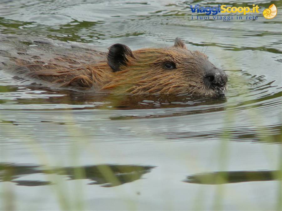
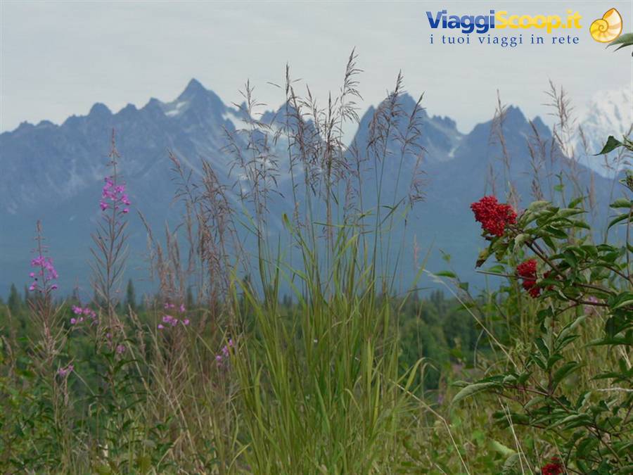
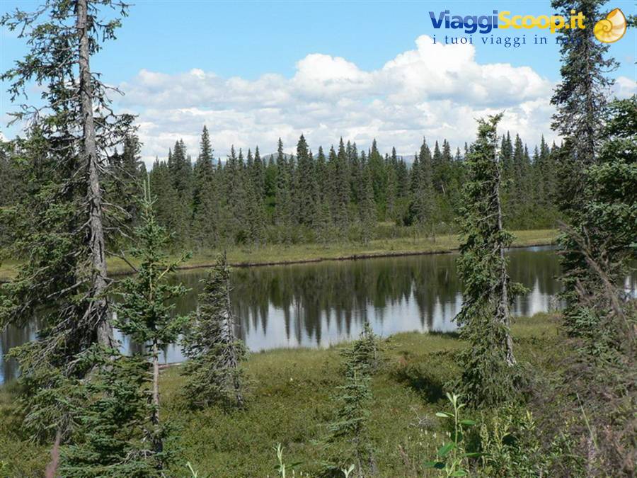
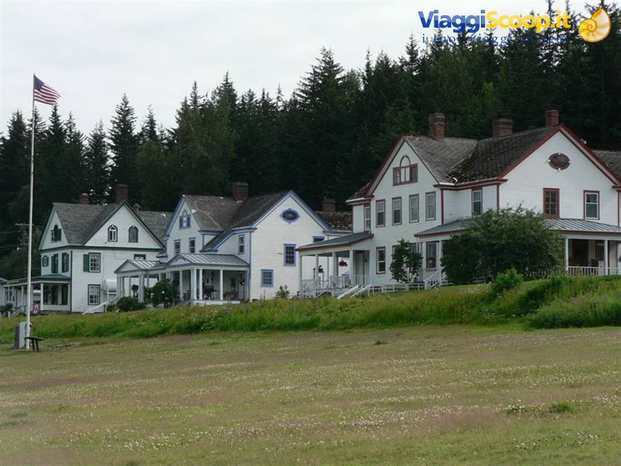
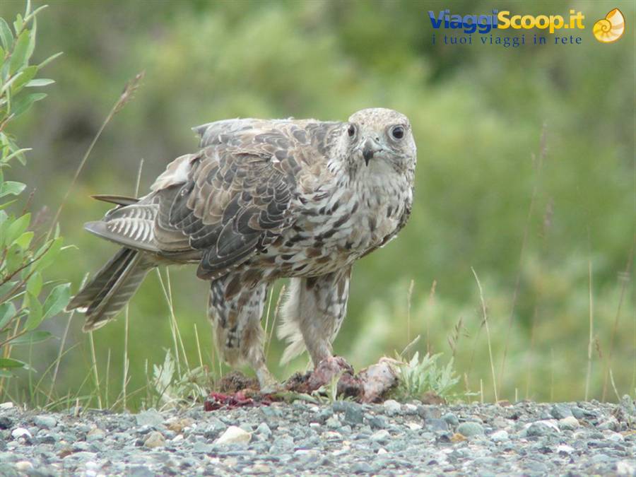
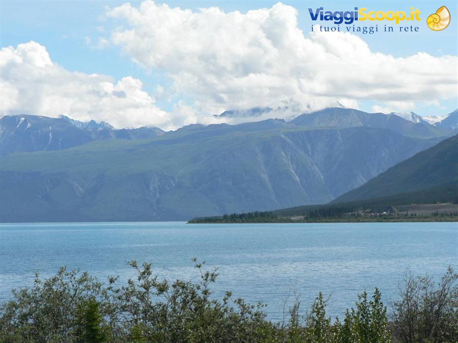
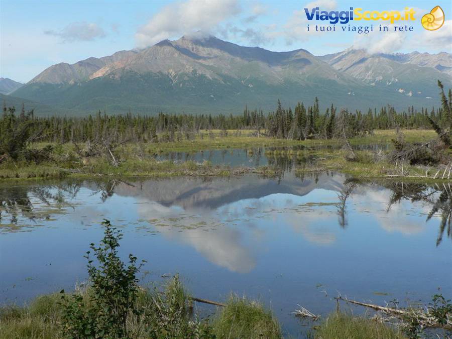
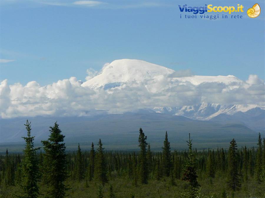
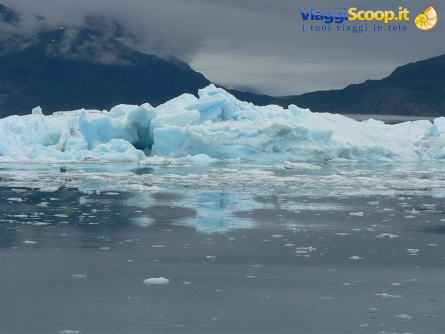
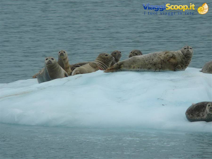
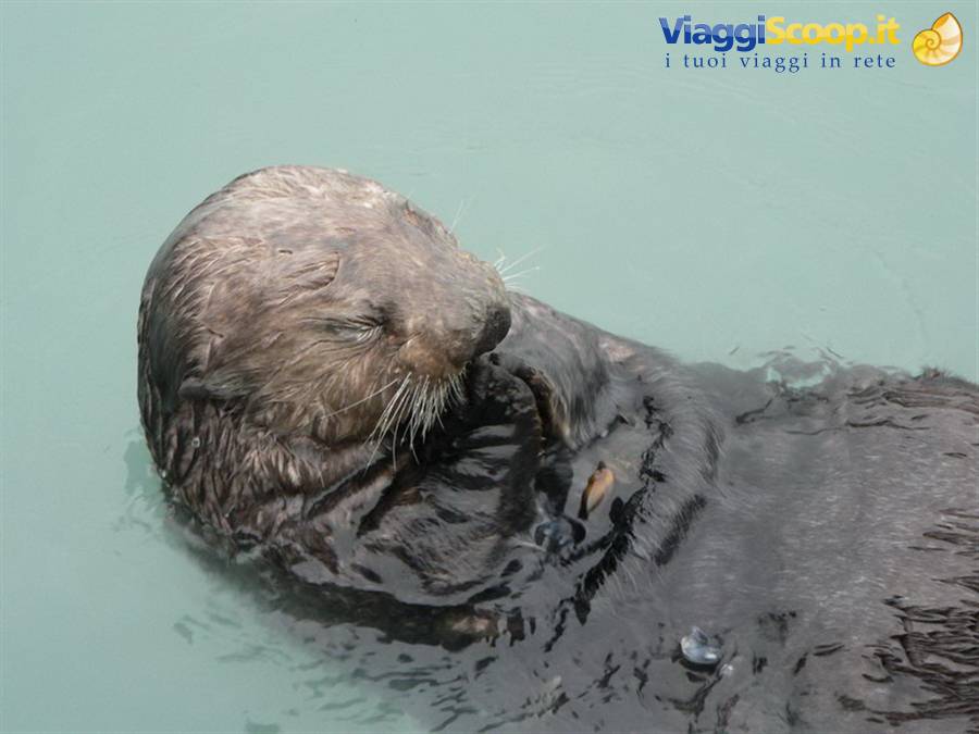
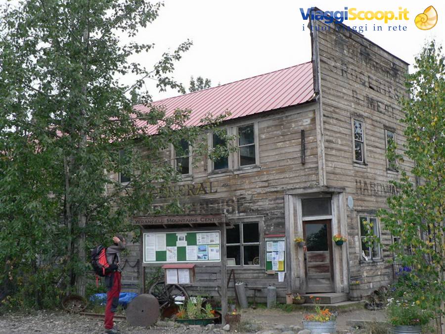
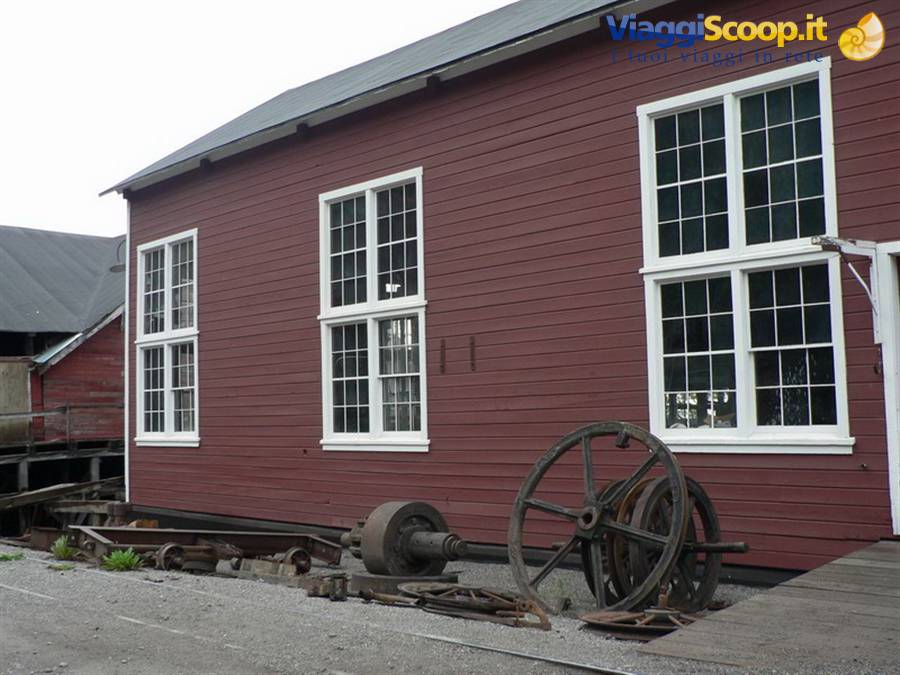
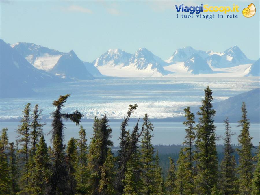
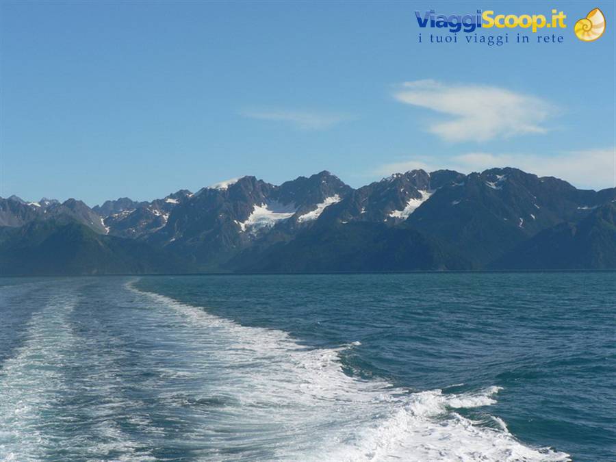
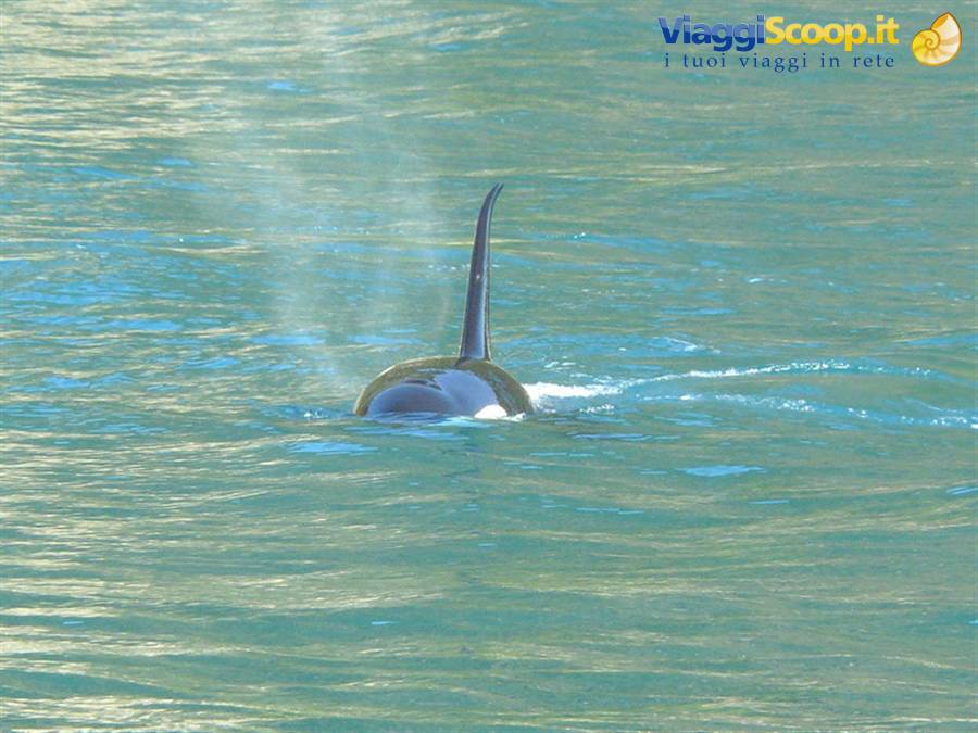
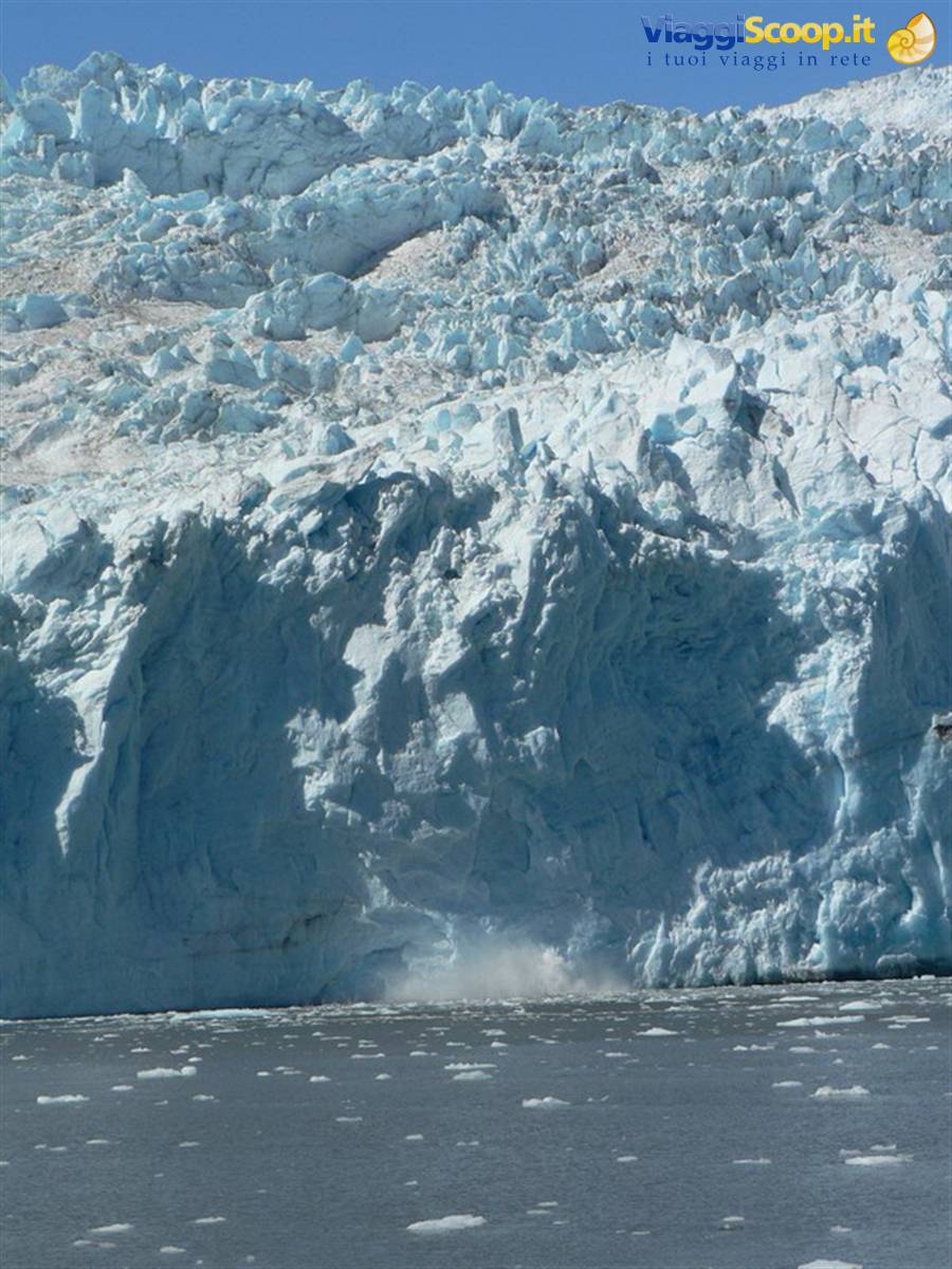
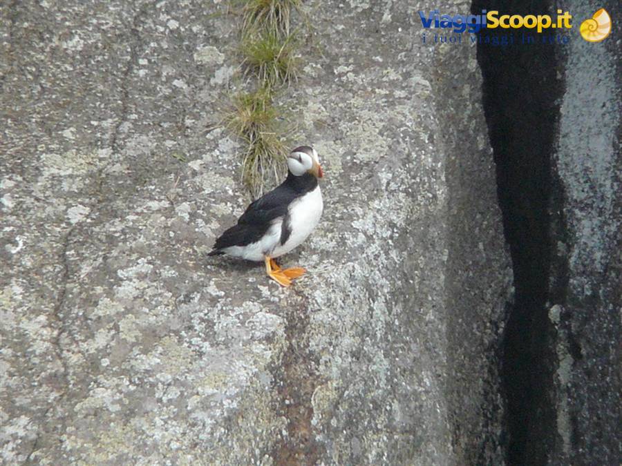
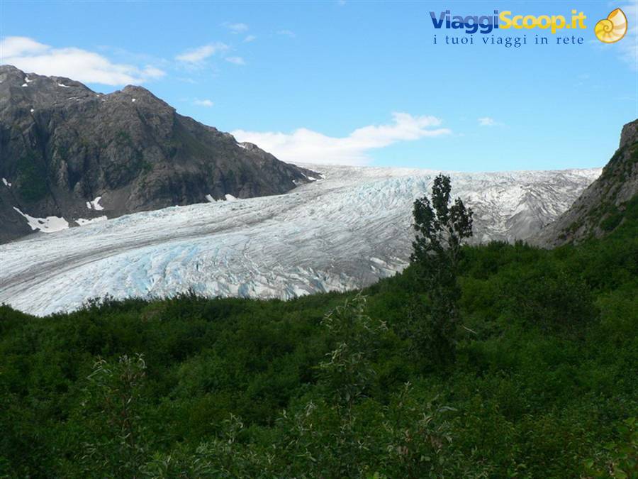
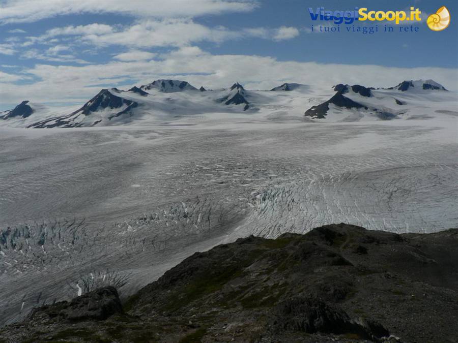
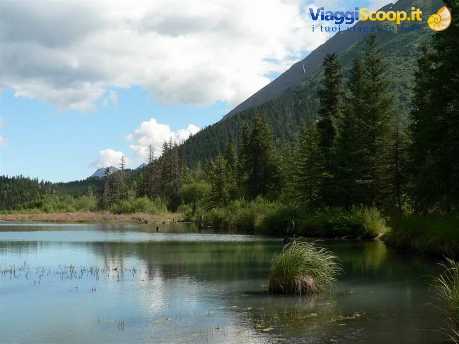
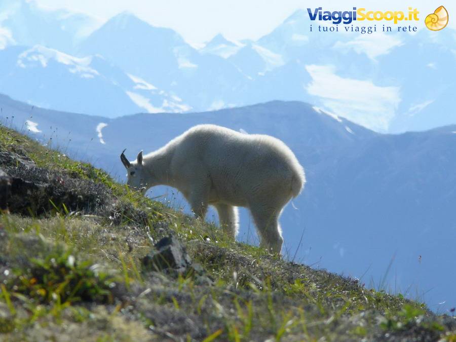
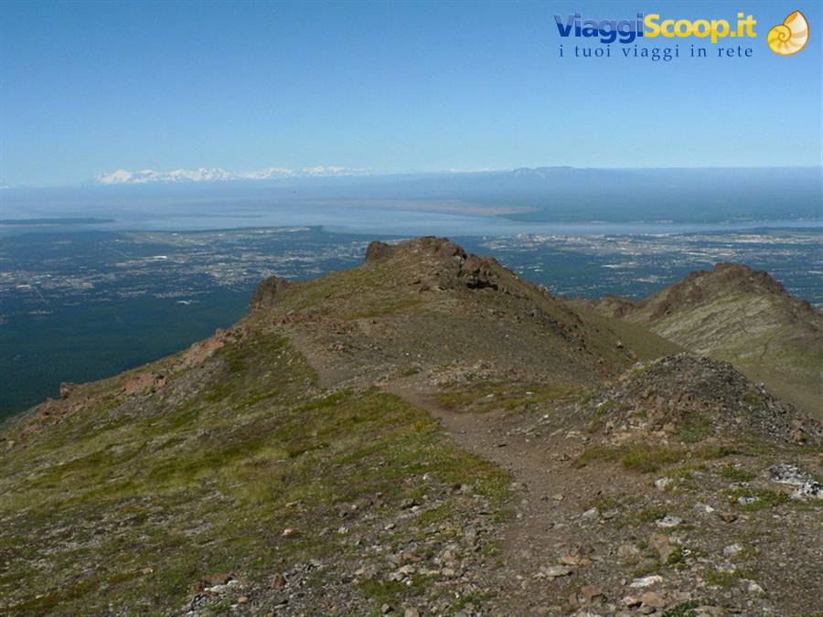
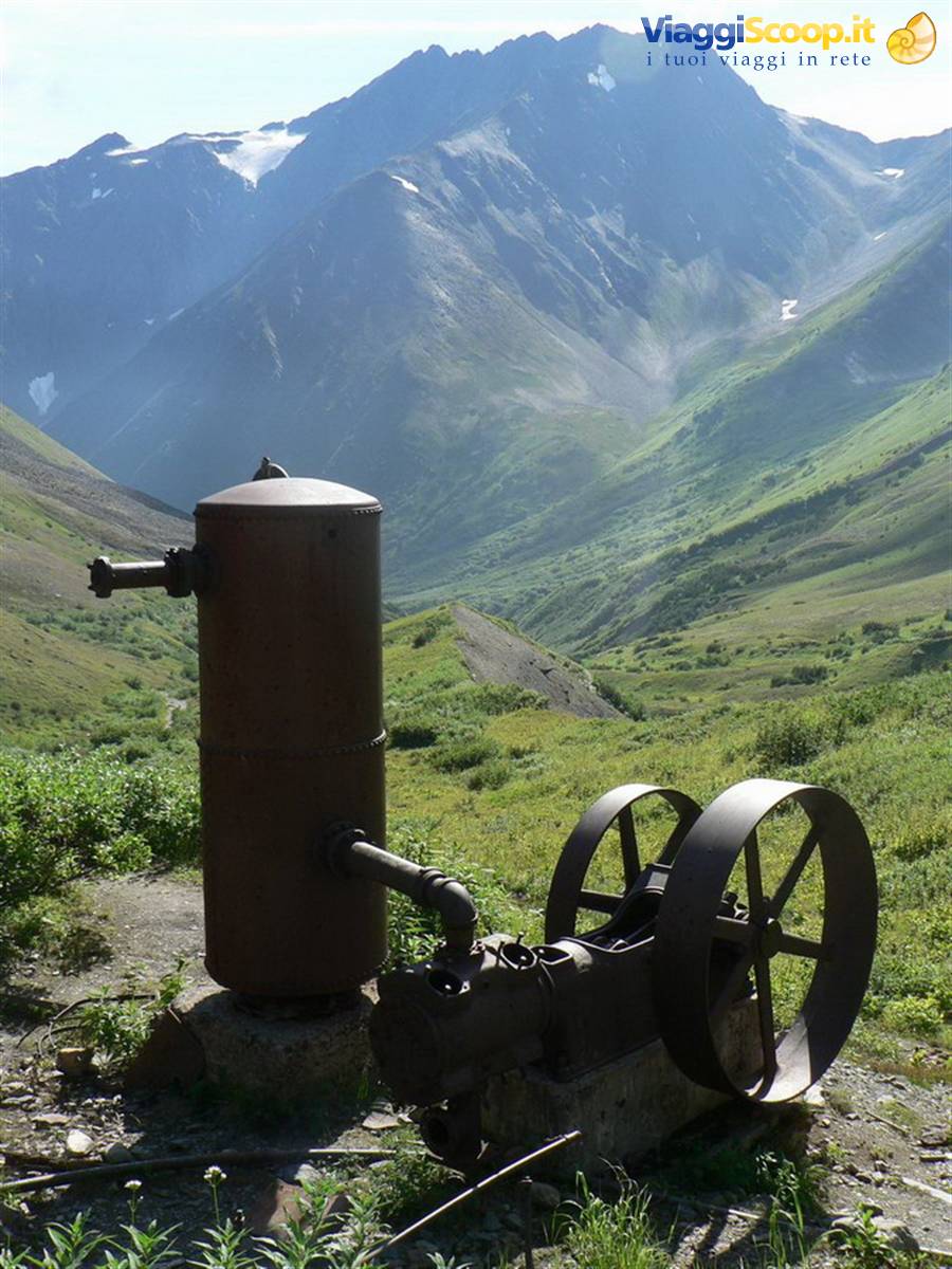
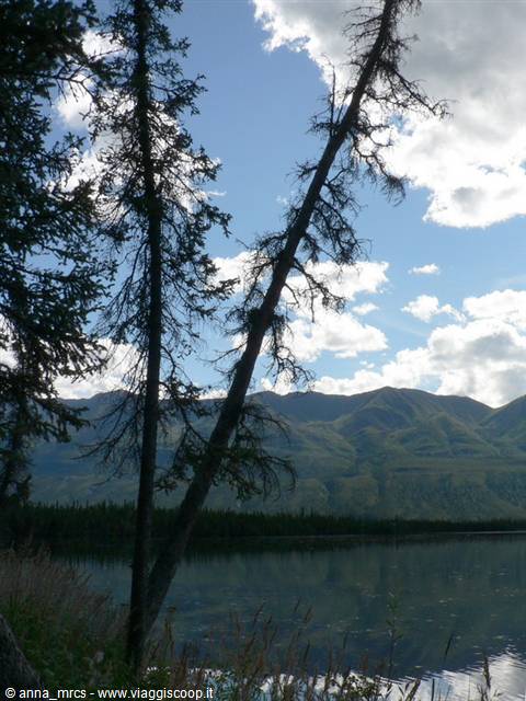
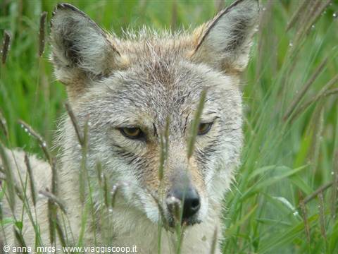
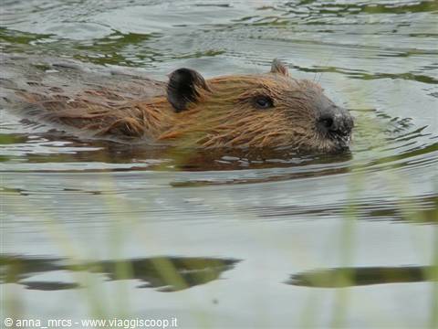
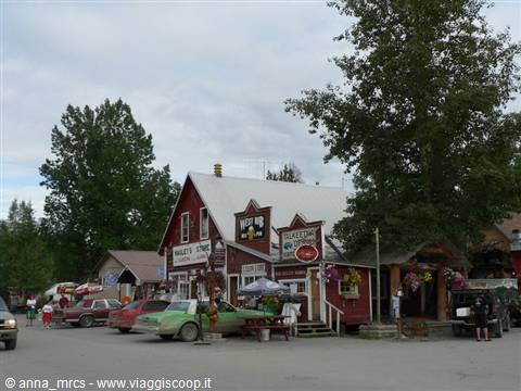
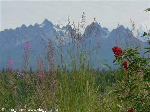
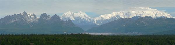
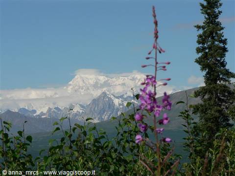
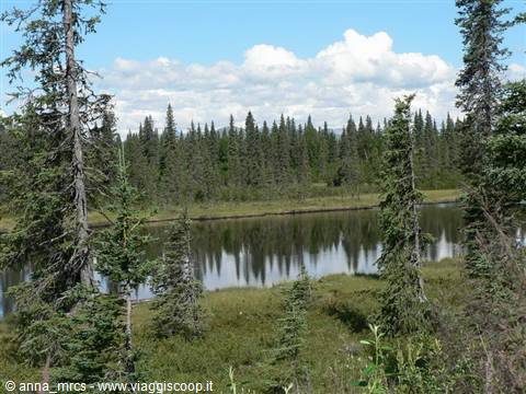
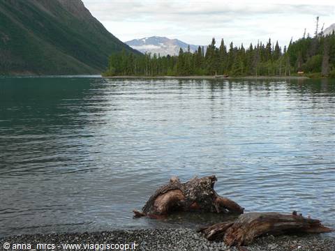
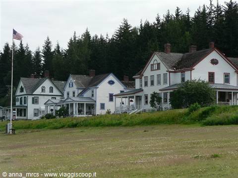
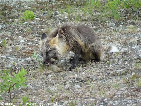
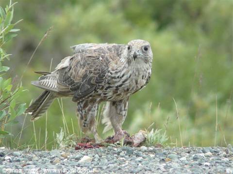
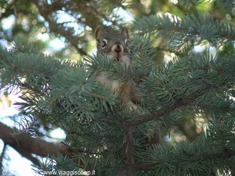
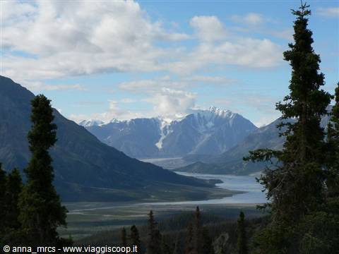
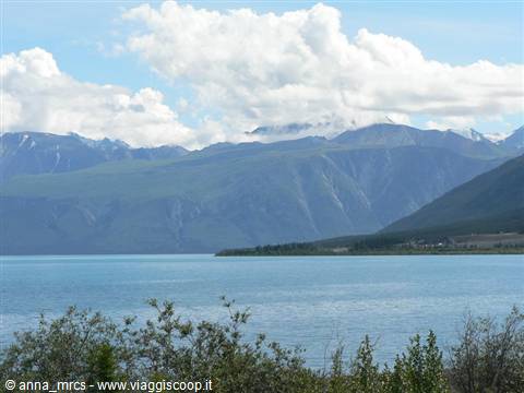
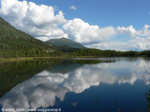
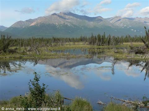
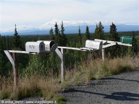
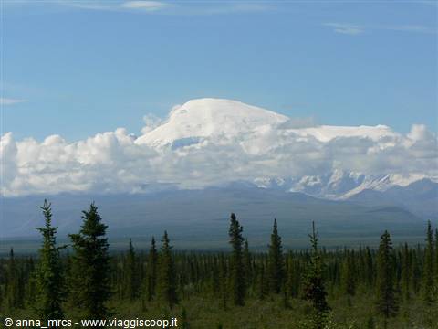
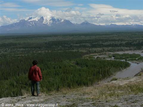
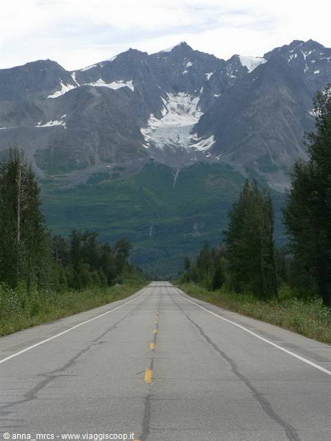
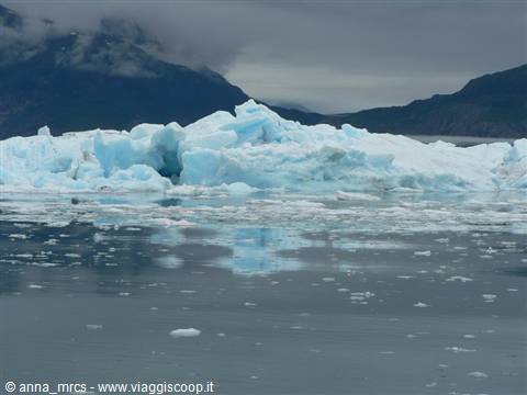
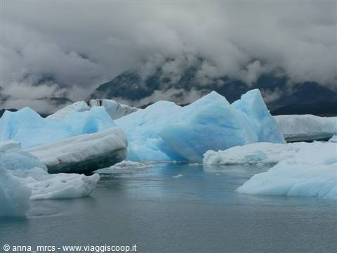
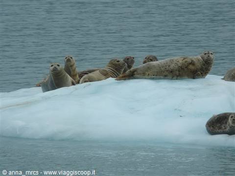
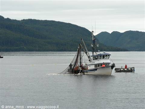
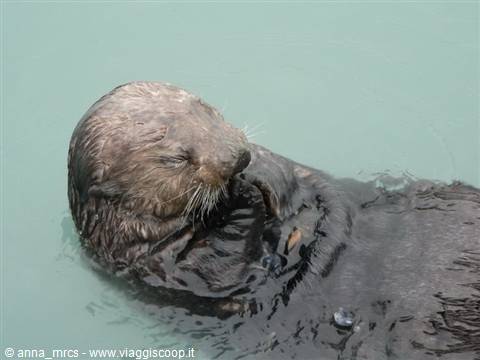
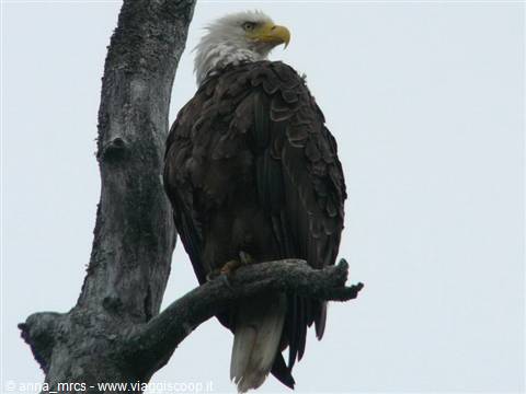
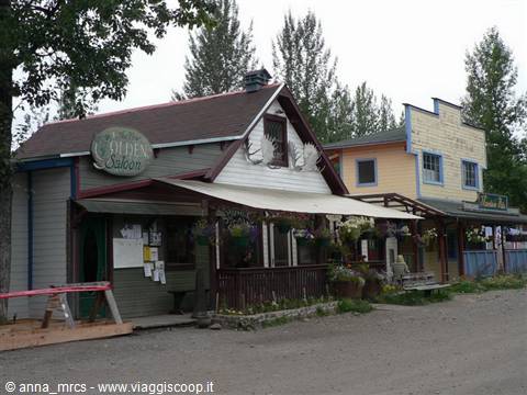
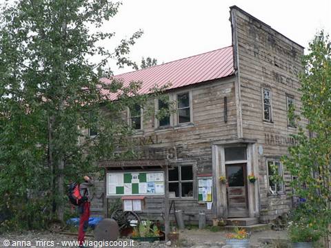
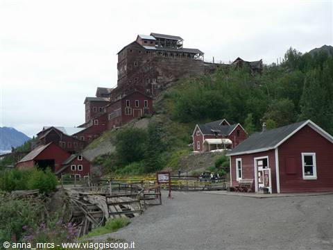
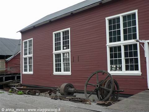
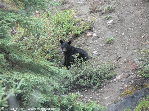
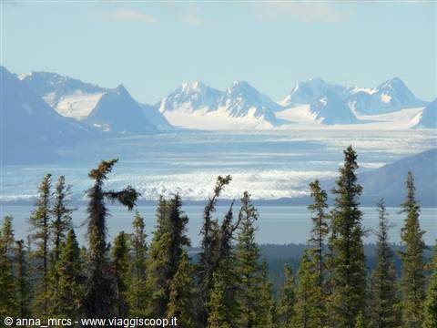
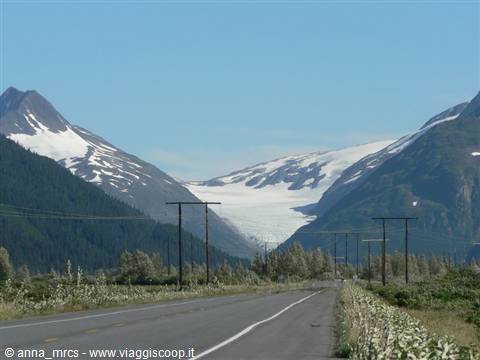
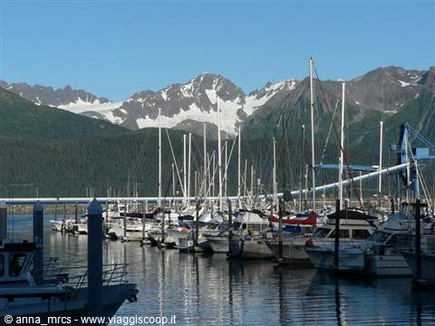
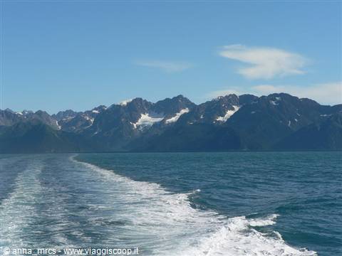
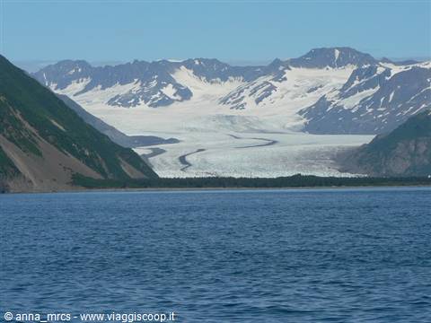
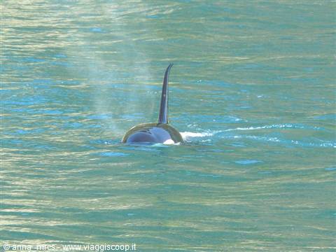
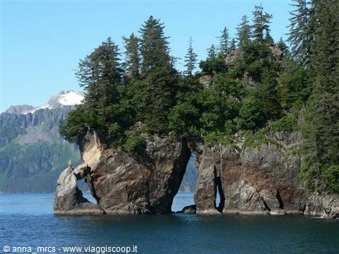
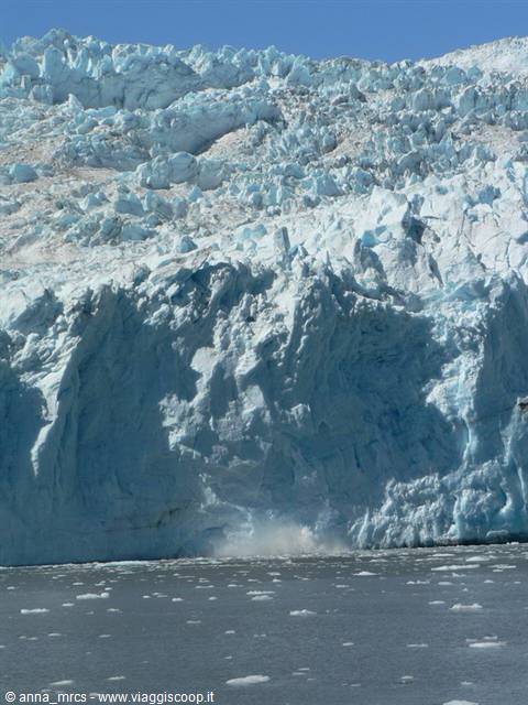
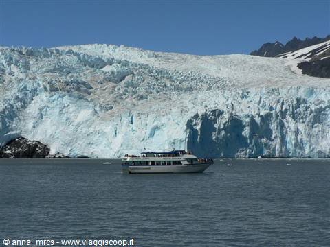
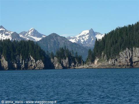
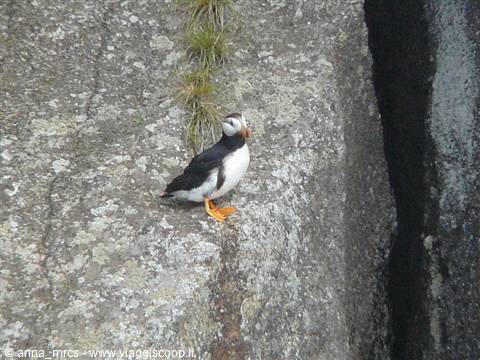
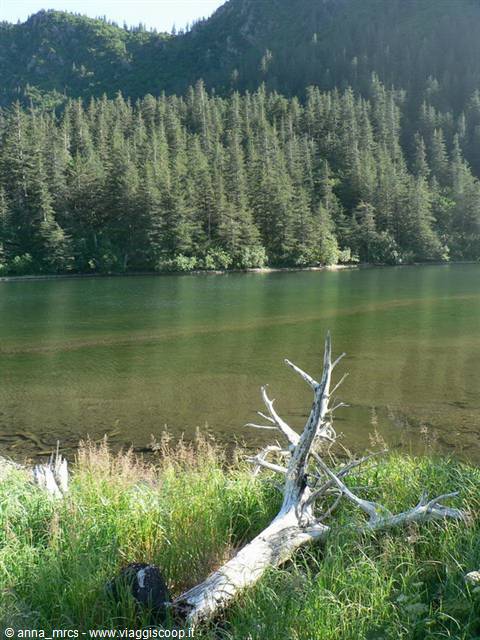
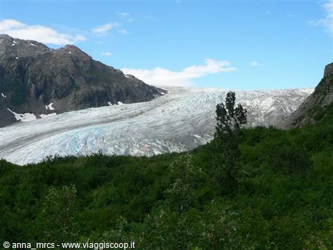
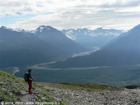
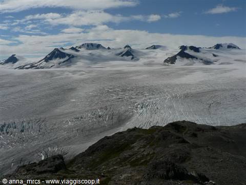
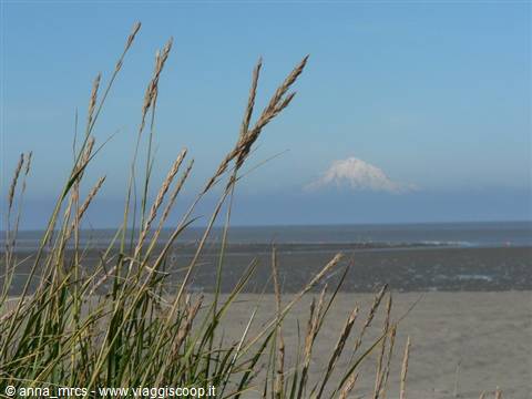
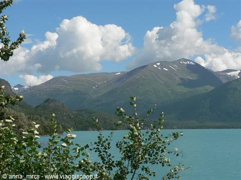
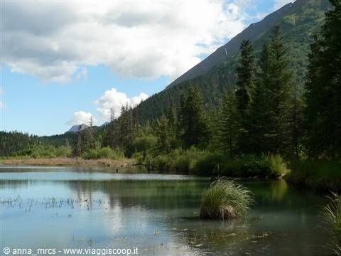
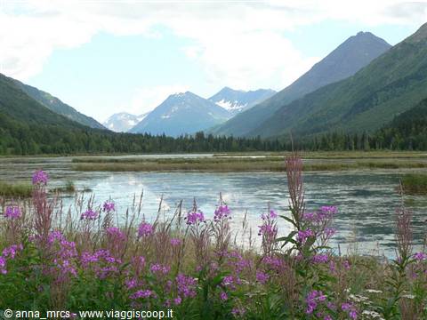
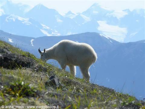
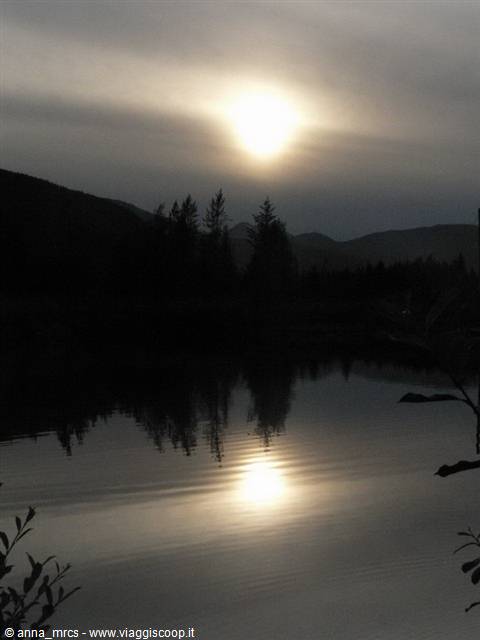
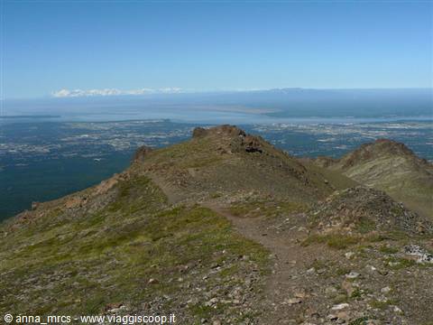
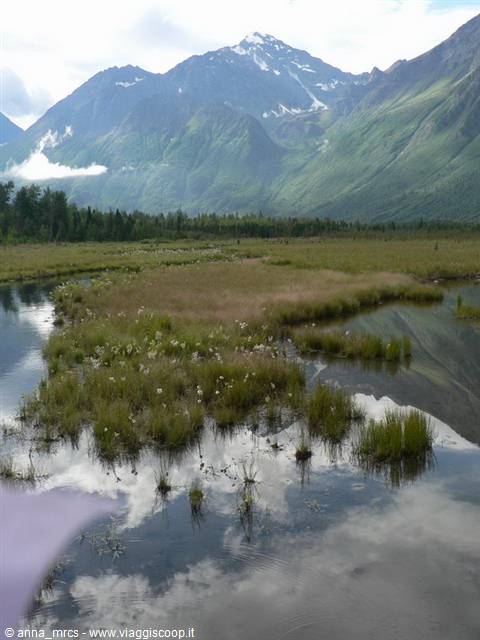
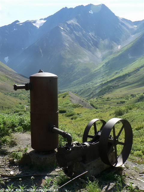
1 reader comments
Complimenti per il tuo diario di viaggio. Pochi sono quelli così precisi, dettagliati e con foto così emozionanti.